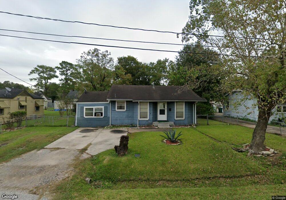
7117 Sidney St Houston, TX 77021
OST-South Union NeighborhoodEstimated Value: $165,886 - $197,000
2
Beds
1
Bath
1,078
Sq Ft
$168/Sq Ft
Est. Value
About This Home
This home is located at 7117 Sidney St, Houston, TX 77021 and is currently estimated at $181,472, approximately $168 per square foot. 7117 Sidney St is a home located in Harris County with nearby schools including Marcellus Elliot Foster Elementary, Cullen Middle School, and Yates High School.
Ownership History
Date
Name
Owned For
Owner Type
Purchase Details
Closed on
Mar 5, 2004
Sold by
First Texas Group Ltd
Bought by
Carey Connie
Current Estimated Value
Home Financials for this Owner
Home Financials are based on the most recent Mortgage that was taken out on this home.
Original Mortgage
$64,490
Outstanding Balance
$30,098
Interest Rate
5.65%
Mortgage Type
FHA
Estimated Equity
$151,374
Purchase Details
Closed on
Sep 23, 2003
Sold by
Adams John L
Bought by
Cook Debra Diane
Create a Home Valuation Report for This Property
The Home Valuation Report is an in-depth analysis detailing your home's value as well as a comparison with similar homes in the area
Home Values in the Area
Average Home Value in this Area
Purchase History
| Date | Buyer | Sale Price | Title Company |
|---|---|---|---|
| Carey Connie | -- | Commonwealth Title | |
| Cook Debra Diane | -- | Commonwealth Land Title Co |
Source: Public Records
Mortgage History
| Date | Status | Borrower | Loan Amount |
|---|---|---|---|
| Open | Carey Connie | $64,490 | |
| Closed | Carey Connie | $5,000 |
Source: Public Records
Tax History Compared to Growth
Tax History
| Year | Tax Paid | Tax Assessment Tax Assessment Total Assessment is a certain percentage of the fair market value that is determined by local assessors to be the total taxable value of land and additions on the property. | Land | Improvement |
|---|---|---|---|---|
| 2025 | $3,898 | $180,766 | $128,750 | $52,016 |
| 2024 | $3,898 | $186,284 | $128,750 | $57,534 |
| 2023 | $3,898 | $176,564 | $115,875 | $60,689 |
| 2022 | $3,289 | $149,394 | $90,125 | $59,269 |
| 2021 | $2,747 | $117,854 | $57,938 | $59,916 |
| 2020 | $2,187 | $90,314 | $38,625 | $51,689 |
| 2019 | $2,361 | $93,288 | $32,188 | $61,100 |
| 2018 | $1,118 | $44,194 | $22,531 | $21,663 |
| 2017 | $884 | $34,951 | $16,094 | $18,857 |
| 2016 | $884 | $34,951 | $16,094 | $18,857 |
| 2015 | $753 | $31,385 | $16,094 | $15,291 |
| 2014 | $753 | $29,286 | $16,094 | $13,192 |
Source: Public Records
Map
Nearby Homes
- 7127 England St
- 7117 England St Unit C
- 7117 England St Unit A
- 7117 England St Unit B
- 7125 England St
- 7115 England St Unit A
- 7115 England St Unit B
- 7129 England St
- 7129 Foster St
- 7107 Foster St Unit A
- 7130 Eastwood St
- 7131 Eastwood St Unit A
- 7131 Eastwood St Unit C
- 7210 England St
- 7117 Saint Augustine St
- 7109 Saint Augustine St
- 7226 England St
- 7241 England St
- 7016 Conley St
- 7108 Saint Augustine St
- 7121 Sidney St
- 7113 Sidney St
- 7120 Goforth St
- 7116 Goforth St
- 7124 Goforth St
- 7125 Sidney St
- 7109 Sidney St
- 7118 Sidney St
- 7114 Sidney St
- 7122 Sidney St
- 7112 Goforth St
- 7128 Goforth St
- 7127 Sidney St
- 7110 Sidney St
- 7110 Sidney St Unit A
- 7110 Sidney St Unit B
- 7126 Sidney St
- 7105 Sidney St
- 7129 Sidney St Unit A-B
- 7136 Goforth St