Estimated Value: $214,000 - $332,000
3
Beds
2
Baths
1,200
Sq Ft
$234/Sq Ft
Est. Value
About This Home
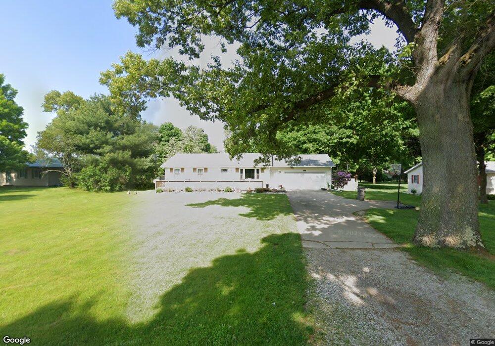
This home is located at 71176 Union Rd S, Union, MI 49130 and is currently estimated at $281,268, approximately $234 per square foot. 71176 Union Rd S is a home located in Cass County with nearby schools including White Pigeon Junior/Senior High School, Central Elementary School, and Kessington Christian School.
Ownership History
Date
Name
Owned For
Owner Type
Purchase Details
Closed on
Aug 21, 2015
Sold by
Yoder Whitney A and Holt Whitney A
Bought by
Yoder Todd W and Yoder Whitney A
Current Estimated Value
Home Financials for this Owner
Home Financials are based on the most recent Mortgage that was taken out on this home.
Original Mortgage
$96,000
Outstanding Balance
$38,043
Interest Rate
4.04%
Mortgage Type
New Conventional
Estimated Equity
$243,226
Purchase Details
Closed on
Jan 21, 2009
Sold by
Yant Jerry L and Yant Mary K
Bought by
The Bank Of New York
Create a Home Valuation Report for This Property
The Home Valuation Report is an in-depth analysis detailing your home's value as well as a comparison with similar homes in the area
Purchase History
| Date | Buyer | Sale Price | Title Company |
|---|---|---|---|
| Yoder Todd W | -- | Meridian Title Corp | |
| The Bank Of New York | $132,950 | None Available |
Source: Public Records
Mortgage History
| Date | Status | Borrower | Loan Amount |
|---|---|---|---|
| Open | Yoder Todd W | $96,000 |
Source: Public Records
Tax History
| Year | Tax Paid | Tax Assessment Tax Assessment Total Assessment is a certain percentage of the fair market value that is determined by local assessors to be the total taxable value of land and additions on the property. | Land | Improvement |
|---|---|---|---|---|
| 2025 | $1,494 | $122,100 | $122,100 | $0 |
| 2024 | $615 | $106,600 | $106,600 | $0 |
| 2023 | $587 | $85,900 | $0 | $0 |
| 2022 | $559 | $71,300 | $0 | $0 |
| 2021 | $1,349 | $67,700 | $0 | $0 |
| 2020 | $1,334 | $65,300 | $0 | $0 |
| 2019 | $1,293 | $58,300 | $0 | $0 |
| 2018 | $515 | $55,700 | $0 | $0 |
| 2017 | $504 | $49,900 | $0 | $0 |
| 2016 | $500 | $46,500 | $0 | $0 |
| 2015 | -- | $56,200 | $0 | $0 |
| 2011 | -- | $50,800 | $0 | $0 |
Source: Public Records
Map
Nearby Homes
- 71423 State Line Dr
- 70426 Kessington Rd
- 15765 Mason St
- 13868 U S 12
- 50764 Stella Ct
- 50774 Teall Rd
- 70855 Hollywood Shores Dr
- 17455 Starbrick Rd
- 13626 Terrie Shore Rd
- 22825 County Road 4
- 70877 Sunset Blvd
- 70619 Sunset Blvd
- 52176 County Road 21
- 70855 Wayne St
- 0 Lake Shore Dr
- 69692 Oak St
- 18390 State Line Rd
- 70104 Treasure Island Rd
- 0 State Line Rd
- 23204 1st St
- 71154 Union Rd S
- 71196 Union Rd S
- 71134 Union Rd
- 71191 Spencer Rd
- 71145 Spencer Rd
- 71114 Union Rd S
- 71094 Union Rd S
- 71125 Spencer Rd
- 15738 Crussmeyer Dr
- 15738 Crussmeyer Dr
- 15738 Crussmeyer Dr
- 71089 Spencer Rd
- 71184 Spencer Rd
- 71144 Spencer Rd
- 71144 Spencer Rd
- 71189 Spencer Rd
- 71126 Spencer Rd
- 71126 Spencer Rd
- 71069 Spencer Rd
- 71104 Spencer Rd
Your Personal Tour Guide
Ask me questions while you tour the home.