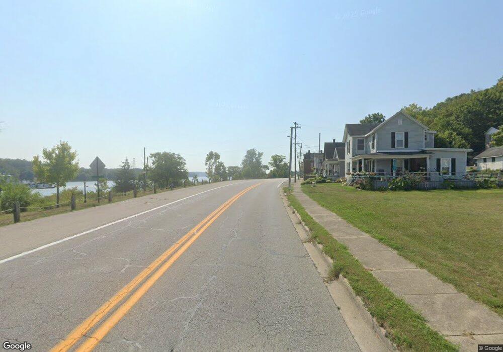
7118 N State Route 56 Aurora, IN 47001
Estimated Value: $201,098 - $289,000
3
Beds
3
Baths
1,288
Sq Ft
$178/Sq Ft
Est. Value
About This Home
This home is located at 7118 N State Route 56, Aurora, IN 47001 and is currently estimated at $229,525, approximately $178 per square foot. 7118 N State Route 56 is a home located in Ohio County with nearby schools including Ohio County Elementary/Middle School and Rising Sun High School.
Ownership History
Date
Name
Owned For
Owner Type
Purchase Details
Closed on
Nov 30, 2016
Sold by
White Pine Construction Llc
Bought by
White Charles T and White Teresa M
Current Estimated Value
Purchase Details
Closed on
Feb 9, 2005
Sold by
Elliott Larry George and Elliott Bonnie Gail
Bought by
White Pine Construction Llc
Create a Home Valuation Report for This Property
The Home Valuation Report is an in-depth analysis detailing your home's value as well as a comparison with similar homes in the area
Home Values in the Area
Average Home Value in this Area
Purchase History
| Date | Buyer | Sale Price | Title Company |
|---|---|---|---|
| White Charles T | -- | Attorney | |
| White Pine Construction Llc | -- | -- |
Source: Public Records
Tax History Compared to Growth
Tax History
| Year | Tax Paid | Tax Assessment Tax Assessment Total Assessment is a certain percentage of the fair market value that is determined by local assessors to be the total taxable value of land and additions on the property. | Land | Improvement |
|---|---|---|---|---|
| 2024 | $2,313 | $154,300 | $55,000 | $99,300 |
| 2023 | $2,420 | $156,700 | $55,000 | $101,700 |
| 2022 | $2,151 | $160,200 | $55,000 | $105,200 |
| 2021 | $2,283 | $142,600 | $45,000 | $97,600 |
| 2020 | $2,307 | $143,700 | $45,000 | $98,700 |
| 2019 | $2,291 | $142,900 | $45,000 | $97,900 |
| 2018 | $2,323 | $144,000 | $45,000 | $99,000 |
| 2017 | $1,833 | $116,000 | $15,800 | $100,200 |
| 2016 | $1,859 | $118,000 | $15,800 | $102,200 |
| 2014 | $1,289 | $120,300 | $15,000 | $105,300 |
| 2013 | $694 | $122,600 | $15,000 | $107,600 |
Source: Public Records
Map
Nearby Homes
- 732 Margaret Ave
- 325 N High St
- 511 5th St
- 505 5th St
- 3236 Blackberry Ln
- 4499 Nelson Rd
- 311 N Poplar St
- 8344 Indiana 262
- 103 N High St
- 321 2nd St
- 120 S Poplar St
- 3558 Bellview Ln
- 525 S Walnut St
- 9520 E Bend Rd
- 8500 Lower River Rd
- 4948 State Road 56 N
- 9917 E Bend Rd
- 9230 E Bend Rd
- 6879 Taylor Rd
- 9825 State Road 56
- 7118 State Road 56
- 7118 State Route 56 W
- 7118 State Road 56 N
- 0 E Bellview Ln
- 1666 Bellview Ln
- 1686 Bellview Ln
- 6967 State Road 56 N
- 1695 Bellview Ln
- 1482 Bellview Ln
- 1712 Bellview Ln
- 1730 Bellview Ln
- 1343 E Bellview Ln
- 6799 Indiana 56
- 6799 State Road 56 N
- 1350 Finn Ln
- 1360 Finn Ln
- 1361 Finn Ln
- 1330 Finn Ln
- 1340 Finn Ln
- 7386 State Road 56