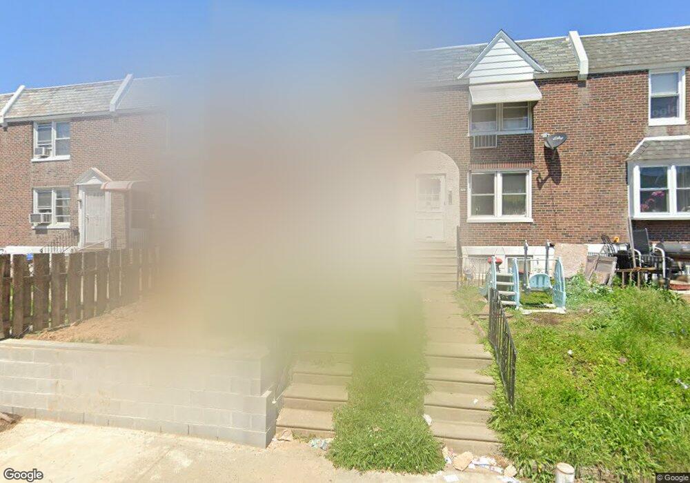
7118 Rutland St Philadelphia, PA 19149
Castor Gardens NeighborhoodEstimated Value: $219,000 - $249,000
3
Beds
1
Bath
1,272
Sq Ft
$181/Sq Ft
Est. Value
About This Home
This home is located at 7118 Rutland St, Philadelphia, PA 19149 and is currently estimated at $230,443, approximately $181 per square foot. 7118 Rutland St is a home located in Philadelphia County with nearby schools including Solomon Solis-Cohen School, Castor Gardens Middle School, and Northeast High School.
Ownership History
Date
Name
Owned For
Owner Type
Purchase Details
Closed on
Feb 25, 1998
Sold by
Rosen Stephen
Bought by
Faynleyb Irina
Current Estimated Value
Create a Home Valuation Report for This Property
The Home Valuation Report is an in-depth analysis detailing your home's value as well as a comparison with similar homes in the area
Home Values in the Area
Average Home Value in this Area
Purchase History
| Date | Buyer | Sale Price | Title Company |
|---|---|---|---|
| Faynleyb Irina | $32,000 | -- |
Source: Public Records
Tax History Compared to Growth
Tax History
| Year | Tax Paid | Tax Assessment Tax Assessment Total Assessment is a certain percentage of the fair market value that is determined by local assessors to be the total taxable value of land and additions on the property. | Land | Improvement |
|---|---|---|---|---|
| 2025 | $2,724 | $233,500 | $46,700 | $186,800 |
| 2024 | $2,724 | $233,500 | $46,700 | $186,800 |
| 2023 | $2,724 | $194,600 | $38,920 | $155,680 |
| 2022 | $1,970 | $194,600 | $38,920 | $155,680 |
| 2021 | $1,970 | $0 | $0 | $0 |
| 2020 | $1,970 | $0 | $0 | $0 |
| 2019 | $1,890 | $0 | $0 | $0 |
| 2018 | $1,718 | $0 | $0 | $0 |
| 2017 | $1,718 | $0 | $0 | $0 |
| 2016 | $1,718 | $0 | $0 | $0 |
| 2015 | $1,644 | $0 | $0 | $0 |
| 2014 | -- | $122,700 | $20,768 | $101,932 |
| 2012 | -- | $15,232 | $1,054 | $14,178 |
Source: Public Records
Map
Nearby Homes
- 7050 Lynford St
- 7123 Castor Ave
- 7019 Rutland St
- 1425 Friendship St
- 7039 Kindred St
- 7219 Rutland St
- 7034 Souder St
- 6946 Kindred St
- 7028 Horrocks St
- 7004 Loretto Ave
- 1527 Longshore Ave
- 1341 Tyson Ave
- 7230 Horrocks St
- 1329 Saint Vincent St
- 1352 Englewood St
- 1403 Englewood St
- 6834 Large St
- 6827 Lynford St
- 6829 Horrocks St
- 1336 Longshore Ave
- 7116 Rutland St
- 7120 Rutland St
- 7114 Rutland St
- 7122 Rutland St
- 7112 Rutland St
- 7124 Rutland St
- 7110 Rutland St
- 7126 Rutland St
- 7117 Castor Ave
- 7119 Castor Ave
- 7115 Castor Ave
- 7108 Rutland St
- 7128 Rutland St
- 7121 Castor Ave
- 7111 Castor Ave
- 7106 Rutland St
- 7130 Rutland St
- 7109 Castor Ave
- 7125 Castor Ave
- 7104 Rutland St