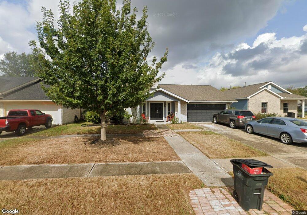
7118 Silver Star Dr Houston, TX 77086
North Houston NeighborhoodEstimated Value: $214,763 - $242,000
3
Beds
2
Baths
1,507
Sq Ft
$152/Sq Ft
Est. Value
About This Home
This home is located at 7118 Silver Star Dr, Houston, TX 77086 and is currently estimated at $228,441, approximately $151 per square foot. 7118 Silver Star Dr is a home located in Harris County with nearby schools including Kujawa EC/Pre-K/K School, Kujawa Elementary School, and Shotwell Middle School.
Ownership History
Date
Name
Owned For
Owner Type
Purchase Details
Closed on
Jul 18, 2001
Sold by
Salomon Brothers Realty Corp
Bought by
Gafford Charlene
Current Estimated Value
Home Financials for this Owner
Home Financials are based on the most recent Mortgage that was taken out on this home.
Original Mortgage
$84,200
Outstanding Balance
$32,283
Interest Rate
7.07%
Mortgage Type
FHA
Estimated Equity
$196,158
Purchase Details
Closed on
Apr 3, 2001
Sold by
Henley Donald L and Henley Justine A
Bought by
Salomon Brothers Realty Corp
Purchase Details
Closed on
Mar 30, 1994
Sold by
Richardson Keith L and Richardson Karen A
Bought by
Henderson Reginald and Henderson Melanie
Home Financials for this Owner
Home Financials are based on the most recent Mortgage that was taken out on this home.
Original Mortgage
$71,901
Interest Rate
7.05%
Mortgage Type
Seller Take Back
Create a Home Valuation Report for This Property
The Home Valuation Report is an in-depth analysis detailing your home's value as well as a comparison with similar homes in the area
Home Values in the Area
Average Home Value in this Area
Purchase History
| Date | Buyer | Sale Price | Title Company |
|---|---|---|---|
| Gafford Charlene | -- | First American Title | |
| Salomon Brothers Realty Corp | $119,602 | -- | |
| Henderson Reginald | -- | Stewart Title |
Source: Public Records
Mortgage History
| Date | Status | Borrower | Loan Amount |
|---|---|---|---|
| Open | Gafford Charlene | $84,200 | |
| Previous Owner | Henderson Reginald | $71,901 |
Source: Public Records
Tax History Compared to Growth
Tax History
| Year | Tax Paid | Tax Assessment Tax Assessment Total Assessment is a certain percentage of the fair market value that is determined by local assessors to be the total taxable value of land and additions on the property. | Land | Improvement |
|---|---|---|---|---|
| 2025 | $829 | $207,079 | $38,657 | $168,422 |
| 2024 | $829 | $180,000 | $38,657 | $141,343 |
| 2023 | $829 | $216,813 | $38,657 | $178,156 |
| 2022 | $3,132 | $165,000 | $32,760 | $132,240 |
| 2021 | $2,840 | $154,029 | $32,760 | $121,269 |
| 2020 | $2,871 | $143,274 | $32,760 | $110,514 |
| 2019 | $2,713 | $129,976 | $14,490 | $115,486 |
| 2018 | $903 | $117,508 | $14,490 | $103,018 |
| 2017 | $2,162 | $117,508 | $14,490 | $103,018 |
| 2016 | $1,966 | $102,808 | $14,490 | $88,318 |
| 2015 | $1,352 | $102,808 | $14,490 | $88,318 |
| 2014 | $1,352 | $76,589 | $14,490 | $62,099 |
Source: Public Records
Map
Nearby Homes
- 10307 Bammel North Houston Rd
- 7302 Seton Lake Dr
- 7307 Silver Star Dr
- 10614 Mackenzie Dr
- 6911 Silver Star Dr
- 7023 Sandswept Ln
- 10711 Heather Hill Dr
- 10723 Mackenzie Dr
- 7002 Sandswept Ln
- 9815 Lonsford Dr
- 6822 Dusty Dawn Dr
- 6830 Desert Rose Ln
- 7218 Winding Trace Dr
- 7011 Lower Arrow Dr
- 7222 Northleaf Dr
- 6722 Winding Trace Dr
- 7227 Greenyard Dr
- 6703 Deer Ridge Ln
- 10306 Jillana Kaye Dr
- 6706 Redding Springs Ln
- 7122 Silver Star Dr
- 7114 Silver Star Dr
- 7207 Seton Lake Dr
- 7203 Seton Lake Dr
- 7126 Silver Star Dr
- 7211 Seton Lake Dr
- 7119 Silver Star Dr
- 7215 Seton Lake Dr
- 7115 Silver Star Dr
- 7123 Silver Star Dr
- 7202 Silver Star Dr
- 7111 Silver Star Dr
- 7127 Silver Star Dr
- 10402 Canyoncrest Ln
- 10402 Canyon Crest Ln
- 10406 Canyoncrest Ln
- 7219 Seton Lake Dr
- 7107 Silver Star Dr
- 10410 Canyoncrest Ln
- 7210 Silver Star Dr