7118 State Road 43 N West Lafayette, IN 47906
Estimated Value: $376,000 - $491,000
--
Bed
--
Bath
2,720
Sq Ft
$161/Sq Ft
Est. Value
About This Home
This home is located at 7118 State Road 43 N, West Lafayette, IN 47906 and is currently estimated at $437,191, approximately $160 per square foot. 7118 State Road 43 N is a home located in Tippecanoe County with nearby schools including Battle Ground Elementary School, Battle Ground Middle School, and William Henry Harrison High School.
Ownership History
Date
Name
Owned For
Owner Type
Purchase Details
Closed on
Apr 8, 2011
Sold by
Landrum James A and Landrum Pam
Bought by
Landrum James A and Landrum Pam
Current Estimated Value
Purchase Details
Closed on
May 7, 2010
Sold by
Hauck R and Hauck G Patricia
Bought by
Landrum James A and Willemsen Pam
Create a Home Valuation Report for This Property
The Home Valuation Report is an in-depth analysis detailing your home's value as well as a comparison with similar homes in the area
Home Values in the Area
Average Home Value in this Area
Purchase History
| Date | Buyer | Sale Price | Title Company |
|---|---|---|---|
| Landrum James A | -- | None Available | |
| Landrum James A | -- | None Available |
Source: Public Records
Tax History Compared to Growth
Tax History
| Year | Tax Paid | Tax Assessment Tax Assessment Total Assessment is a certain percentage of the fair market value that is determined by local assessors to be the total taxable value of land and additions on the property. | Land | Improvement |
|---|---|---|---|---|
| 2024 | $2,710 | $389,300 | $28,200 | $361,100 |
| 2023 | $2,532 | $369,600 | $28,200 | $341,400 |
| 2022 | $2,382 | $321,400 | $28,200 | $293,200 |
| 2021 | $2,365 | $317,700 | $28,200 | $289,500 |
| 2020 | $2,036 | $292,000 | $28,200 | $263,800 |
| 2019 | $1,939 | $282,000 | $28,200 | $253,800 |
| 2018 | $1,820 | $271,700 | $28,200 | $243,500 |
| 2017 | $1,769 | $262,600 | $28,200 | $234,400 |
| 2016 | $1,711 | $257,700 | $28,200 | $229,500 |
| 2014 | $1,531 | $237,800 | $28,200 | $209,600 |
| 2013 | $1,651 | $242,800 | $28,200 | $214,600 |
Source: Public Records
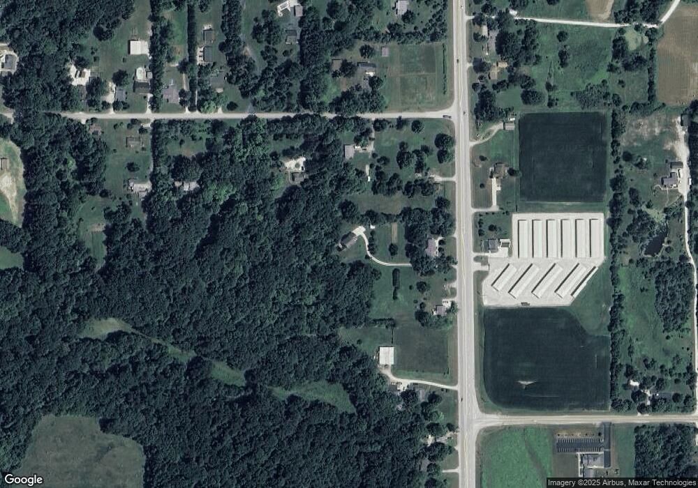
Map
Nearby Homes
- 6336 Munsee Dr
- 2479 Taino Dr
- 2489 Matchlock Ct
- 6125 Gallegos Dr
- 2493 Matchlock Ct
- 7315 N 300 E
- 7319 N 300 E
- 689 Winslow Ln
- 6043 Flintlock Dr
- Lincoln Plan at The Preserve
- Van Buren Plan at The Preserve
- Jefferson Plan at The Preserve
- Harrison Plan at The Preserve
- Reagan Plan at The Preserve
- Taylor Plan at The Preserve
- Arthur Plan at The Preserve
- Eisenhower Plan at The Preserve
- Monroe Plan at The Preserve
- 5745 Stardust Ln Unit 3
- 1150 Stardust Ln
- 7114 State Road 43 N
- 7120 State Road 43 N
- 1841 E 725 N
- 1911 E 725 N
- 7200 Indiana 43
- 7106 State Road 43 N
- 7024 State Road 43 N
- 7131 State Road 43 N
- 1733 E 725 N
- 1914 E 725 N
- 1736 E 725 N
- 1832 E 725 N
- 7237 State Road 43 N
- 1721 E 725 N
- 6946 State Road 43 N
- 1726 E 725 N
- 1719 E 725 N
- 7314 State Road 43 N
- 7309 State Road 43 N
- 7318 State Road 43 N