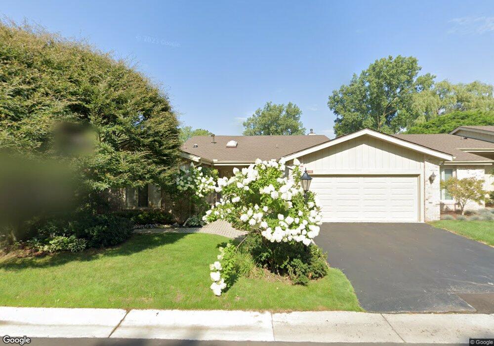
7118 Suncrest Rd West Bloomfield, MI 48322
Estimated Value: $503,100 - $553,000
3
Beds
4
Baths
2,464
Sq Ft
$217/Sq Ft
Est. Value
About This Home
This home is located at 7118 Suncrest Rd, West Bloomfield, MI 48322 and is currently estimated at $534,025, approximately $216 per square foot. 7118 Suncrest Rd is a home located in Oakland County with nearby schools including Wylie E. Groves High School, West Maple Elementary School, and Berkshire Middle School.
Ownership History
Date
Name
Owned For
Owner Type
Purchase Details
Closed on
Nov 8, 2002
Sold by
Lerner Leonard H and Lerner Lorraine
Bought by
Livi Lerner Lorraine and Livi Lorraine Lerner Revocable
Current Estimated Value
Purchase Details
Closed on
Nov 20, 1998
Sold by
Lerner Leonard H
Bought by
Lorraine Lerner Tr
Purchase Details
Closed on
Aug 5, 1997
Sold by
Miller Herbert
Bought by
Lerner Leonard H
Home Financials for this Owner
Home Financials are based on the most recent Mortgage that was taken out on this home.
Original Mortgage
$303,000
Interest Rate
7.71%
Create a Home Valuation Report for This Property
The Home Valuation Report is an in-depth analysis detailing your home's value as well as a comparison with similar homes in the area
Home Values in the Area
Average Home Value in this Area
Purchase History
| Date | Buyer | Sale Price | Title Company |
|---|---|---|---|
| Livi Lerner Lorraine | -- | Flagstar Title Ins Agency | |
| Lerner Leonard H | -- | Flagstar Title Ins Agency | |
| Lorraine Lerner Tr | -- | -- | |
| Lerner Leonard H | $379,900 | -- |
Source: Public Records
Mortgage History
| Date | Status | Borrower | Loan Amount |
|---|---|---|---|
| Previous Owner | Lerner Leonard H | $303,000 |
Source: Public Records
Tax History Compared to Growth
Tax History
| Year | Tax Paid | Tax Assessment Tax Assessment Total Assessment is a certain percentage of the fair market value that is determined by local assessors to be the total taxable value of land and additions on the property. | Land | Improvement |
|---|---|---|---|---|
| 2024 | $3,253 | $206,050 | $0 | $0 |
| 2022 | $3,122 | $204,600 | $43,800 | $160,800 |
| 2021 | $5,268 | $202,600 | $0 | $0 |
| 2020 | $2,999 | $200,040 | $25,000 | $175,040 |
| 2018 | $5,196 | $166,760 | $15,280 | $151,480 |
| 2015 | -- | $152,190 | $0 | $0 |
| 2014 | -- | $138,880 | $0 | $0 |
| 2011 | -- | $119,170 | $0 | $0 |
Source: Public Records
Map
Nearby Homes
- 2014 Waldons Ct
- 7371 Lindenmere Dr
- 7315 Lindenmere Dr
- 27170 W 14 Mile Rd
- 6800 N Clunbury Rd
- 6730 Halyard Rd
- 32620 Inkster Rd
- 7250 Ten Hill
- 32500 Rock Ridge Ln
- 4647 Private Lake Dr
- 6940 Castle Dr
- 27261 Willowgreen Ct
- 28786 Rockledge Dr
- 6420 Apple Grove Ln Unit 10
- 6720 Castle Dr
- 4665 W Maple Rd
- 29020 Ramblewood Dr
- 7209 Stonebrook Rd
- 7310 Sandy Creek Ln
- 5312 Cambourne Place
- 7112 Suncrest Rd
- 7130 Suncrest Rd
- 2021 Waldons Ct
- 7106 Suncrest Rd
- 7136 Suncrest Rd
- 7139 Suncrest Rd
- 2020 Waldons Ct
- 2015 Waldons Ct
- 7142 Suncrest Rd
- 7145 Suncrest Rd
- 7160 Suncrest Rd
- 2007 Waldons Ct
- 7151 Suncrest Rd
- 2200 Colony Club Dr
- 2006 Waldons Ct
- 7166 Suncrest Rd
- 4949 Broomfield Ln
- 4947 Broomfield Ln
- 7163 Suncrest Rd
- 2189 Colony Club Ct