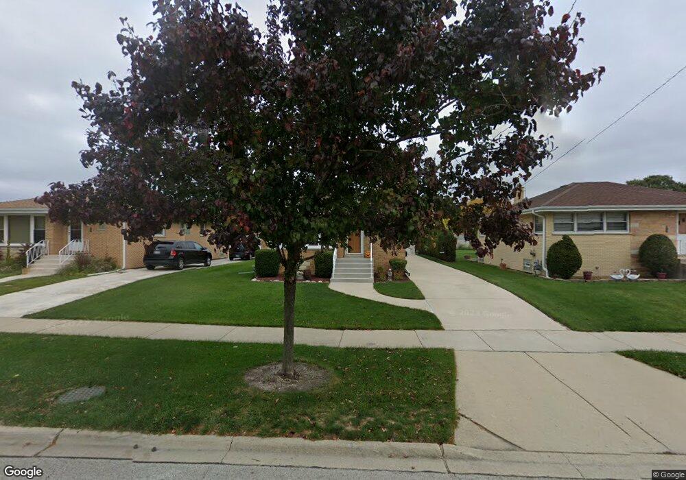
7118 W Main St Niles, IL 60714
Chesterfield Gardens NeighborhoodEstimated Value: $476,188 - $544,000
4
Beds
3
Baths
1,579
Sq Ft
$320/Sq Ft
Est. Value
About This Home
This home is located at 7118 W Main St, Niles, IL 60714 and is currently estimated at $505,047, approximately $319 per square foot. 7118 W Main St is a home located in Cook County with nearby schools including Hynes Elementary School, Golf Middle School, and Niles North High School.
Ownership History
Date
Name
Owned For
Owner Type
Purchase Details
Closed on
Jun 16, 1995
Sold by
Hanrahan Timothy D and Hanrahan Mildred L
Bought by
Wisniewski Edward W and Wisniewski Victoria E
Current Estimated Value
Home Financials for this Owner
Home Financials are based on the most recent Mortgage that was taken out on this home.
Original Mortgage
$52,000
Interest Rate
7.9%
Create a Home Valuation Report for This Property
The Home Valuation Report is an in-depth analysis detailing your home's value as well as a comparison with similar homes in the area
Home Values in the Area
Average Home Value in this Area
Purchase History
| Date | Buyer | Sale Price | Title Company |
|---|---|---|---|
| Wisniewski Edward W | $195,000 | Lawyers Title Insurance Corp |
Source: Public Records
Mortgage History
| Date | Status | Borrower | Loan Amount |
|---|---|---|---|
| Closed | Wisniewski Edward W | $52,000 |
Source: Public Records
Tax History
| Year | Tax Paid | Tax Assessment Tax Assessment Total Assessment is a certain percentage of the fair market value that is determined by local assessors to be the total taxable value of land and additions on the property. | Land | Improvement |
|---|---|---|---|---|
| 2025 | $4,864 | $43,000 | $12,800 | $30,200 |
| 2024 | $4,864 | $37,000 | $10,800 | $26,200 |
| 2023 | $4,723 | $37,000 | $10,800 | $26,200 |
| 2022 | $4,723 | $37,000 | $10,800 | $26,200 |
| 2021 | $5,240 | $27,415 | $7,600 | $19,815 |
| 2020 | $4,665 | $27,415 | $7,600 | $19,815 |
| 2019 | $4,652 | $30,462 | $7,600 | $22,862 |
| 2018 | $5,159 | $29,085 | $6,600 | $22,485 |
| 2017 | $5,137 | $29,085 | $6,600 | $22,485 |
| 2016 | $6,867 | $31,290 | $6,600 | $24,690 |
| 2015 | $6,529 | $28,038 | $5,600 | $22,438 |
| 2014 | $6,000 | $28,038 | $5,600 | $22,438 |
| 2013 | $6,083 | $28,038 | $5,600 | $22,438 |
Source: Public Records
Map
Nearby Homes
- 7020 W Wright Terrace
- 8258 N Octavia Ave
- 6964 W Cleveland St
- 8650 N Shermer Rd Unit 306
- 8237 N Newland Ave
- 8640 Waukegan Rd Unit 123
- 8106 N Harlem Ave
- 6907 W Cleveland St
- 7002 W Carol Ave
- 8311 N Olcott Ave
- 7340 W Keeney St
- 8532 N Oleander Ave
- 8760 N Oketo Ave
- 8415 N Ottawa Ave
- 8453 N Ottawa Ave
- 8556 N Oriole Ave
- 8832 Osceola Ave
- 7421 W Oakton St
- 8926 Oak Park Ave
- 8515 N Ozanam Ave
- 7114 W Main St
- 7124 W Main St
- 7128 W Main St
- 7108 W Main St
- 7127 W Breen St
- 7125 W Breen St
- 7104 W Main St
- 7134 W Main St
- 7129 W Breen St
- 7123 W Breen St
- 7064 W Main St
- 7138 W Main St
- 7133 W Breen St
- 5136 W Lee St
- 7144 W Main St
- 7060 W Main St
- 7109 W Main St
- 7126 W Breen St
- 7139 W Breen St
- 7103 W Main St
Your Personal Tour Guide
Ask me questions while you tour the home.