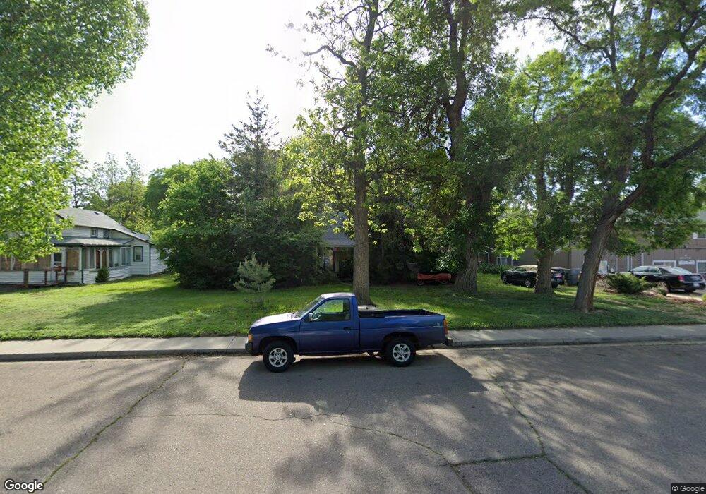
712 Baker St Longmont, CO 80501
Kensington NeighborhoodEstimated Value: $513,000 - $536,978
2
Beds
2
Baths
1,717
Sq Ft
$307/Sq Ft
Est. Value
About This Home
This home is located at 712 Baker St, Longmont, CO 80501 and is currently estimated at $526,995, approximately $306 per square foot. 712 Baker St is a home located in Boulder County with nearby schools including Columbine Elementary School, Trail Ridge Middle School, and Skyline High School.
Ownership History
Date
Name
Owned For
Owner Type
Purchase Details
Closed on
Dec 29, 1995
Sold by
Trevarton Anna Mae
Bought by
Nelson John F
Current Estimated Value
Home Financials for this Owner
Home Financials are based on the most recent Mortgage that was taken out on this home.
Original Mortgage
$75,200
Interest Rate
7.34%
Purchase Details
Closed on
Nov 16, 1948
Bought by
Leeds Huck C
Create a Home Valuation Report for This Property
The Home Valuation Report is an in-depth analysis detailing your home's value as well as a comparison with similar homes in the area
Home Values in the Area
Average Home Value in this Area
Purchase History
| Date | Buyer | Sale Price | Title Company |
|---|---|---|---|
| Nelson John F | $94,000 | Commonwealth Land Title | |
| Leeds Huck C | -- | -- |
Source: Public Records
Mortgage History
| Date | Status | Borrower | Loan Amount |
|---|---|---|---|
| Closed | Nelson John F | $75,200 |
Source: Public Records
Tax History
| Year | Tax Paid | Tax Assessment Tax Assessment Total Assessment is a certain percentage of the fair market value that is determined by local assessors to be the total taxable value of land and additions on the property. | Land | Improvement |
|---|---|---|---|---|
| 2025 | $2,584 | $28,156 | $10,850 | $17,306 |
| 2024 | $2,584 | $28,156 | $10,850 | $17,306 |
| 2023 | $2,549 | $27,014 | $11,886 | $18,814 |
| 2022 | $2,160 | $21,830 | $8,604 | $13,226 |
| 2021 | $2,188 | $22,458 | $8,852 | $13,606 |
| 2020 | $2,079 | $21,400 | $10,225 | $11,175 |
| 2019 | $2,046 | $21,400 | $10,225 | $11,175 |
| 2018 | $1,803 | $18,979 | $10,080 | $8,899 |
| 2017 | $1,778 | $20,983 | $11,144 | $9,839 |
| 2016 | $1,739 | $18,196 | $9,711 | $8,485 |
| 2015 | $1,657 | $14,670 | $5,890 | $8,780 |
| 2014 | $1,370 | $14,670 | $5,890 | $8,780 |
Source: Public Records
Map
Nearby Homes
- 830 Martin St
- 7 6th Ave
- 845 Martin St
- 536 Atwood St
- 10 9th Ave Unit 18
- 757 Lashley St
- 422 Atwood St
- 804 Lashley St
- 821 Emery St
- 225 E 8th Ave Unit F2
- 225 E 8th Ave Unit C14
- 820 Kimbark St Unit B
- 128 E 5th Ave
- 36 Placer Ave
- 36 Reed Place
- 400 Emery St Unit 202
- 1009 Corey St
- 318 4th Ave
- 500 Lashley St Unit 48
- 930 Kimbark St
- 718 Baker St
- 28 Longs Peak Ave
- 20 Longs Peak Ave
- 10 Longs Peak Ave
- 728 Baker St
- 709 Martin St
- 709 Martin St Unit 1-8
- 709 Martin St Unit 1
- 727 Martin St
- 102 Longs Peak Ave
- 2 Longs Peak Ave
- 734 Baker St
- 19 Longs Peak Ave
- 644 Baker St
- 729 Martin St
- 721 Martin St
- 723 Martin St
- 713 Baker St
- 717 Baker St
- 719 Baker St
Your Personal Tour Guide
Ask me questions while you tour the home.