Estimated Value: $205,000 - $275,000
3
Beds
2
Baths
1,416
Sq Ft
$171/Sq Ft
Est. Value
About This Home
This home is located at 712 Brande Dr, Eaton, OH 45320 and is currently estimated at $241,902, approximately $170 per square foot. 712 Brande Dr is a home located in Preble County with nearby schools including Hollingsworth East Elementary School, William Bruce Elementary School, and Eaton Middle School.
Ownership History
Date
Name
Owned For
Owner Type
Purchase Details
Closed on
Sep 20, 2012
Sold by
Seretary Of Housing And Urban Developmen
Bought by
Roell Robert
Current Estimated Value
Home Financials for this Owner
Home Financials are based on the most recent Mortgage that was taken out on this home.
Original Mortgage
$68,732
Outstanding Balance
$47,109
Interest Rate
3.37%
Mortgage Type
FHA
Estimated Equity
$194,793
Purchase Details
Closed on
May 22, 2012
Sold by
Roos Gregory A and Roos Marlene
Bought by
Pnc Bank Na
Purchase Details
Closed on
May 18, 2012
Sold by
Pnc Bank Na
Bought by
The Secretary Of Housing & Urban Develop
Purchase Details
Closed on
Jul 28, 2003
Sold by
Cheek Boyd J
Bought by
Cheek Audrey F
Purchase Details
Closed on
Mar 15, 2003
Sold by
Brown Wilma Jean and Brown Earl
Bought by
Cheek Boyd J and Cheek Audrey F
Create a Home Valuation Report for This Property
The Home Valuation Report is an in-depth analysis detailing your home's value as well as a comparison with similar homes in the area
Home Values in the Area
Average Home Value in this Area
Purchase History
| Date | Buyer | Sale Price | Title Company |
|---|---|---|---|
| Roell Robert | $70,000 | Lakeside Title & Escrow | |
| Pnc Bank Na | $65,000 | Attorney | |
| The Secretary Of Housing & Urban Develop | -- | Attorney | |
| Cheek Audrey F | -- | None Available | |
| Cheek Boyd J | $9,500 | None Available |
Source: Public Records
Mortgage History
| Date | Status | Borrower | Loan Amount |
|---|---|---|---|
| Open | Roell Robert | $68,732 |
Source: Public Records
Tax History Compared to Growth
Tax History
| Year | Tax Paid | Tax Assessment Tax Assessment Total Assessment is a certain percentage of the fair market value that is determined by local assessors to be the total taxable value of land and additions on the property. | Land | Improvement |
|---|---|---|---|---|
| 2024 | $2,284 | $57,340 | $6,620 | $50,720 |
| 2023 | $2,284 | $57,340 | $6,620 | $50,720 |
| 2022 | $2,065 | $42,320 | $5,430 | $36,890 |
| 2021 | $2,155 | $42,320 | $5,430 | $36,890 |
| 2020 | $1,908 | $42,320 | $5,430 | $36,890 |
| 2019 | $1,567 | $33,640 | $4,410 | $29,230 |
| 2018 | $1,579 | $33,640 | $4,410 | $29,230 |
| 2017 | $1,442 | $33,640 | $4,410 | $29,230 |
| 2016 | $1,475 | $32,520 | $4,270 | $28,250 |
| 2014 | -- | $32,520 | $4,270 | $28,250 |
| 2013 | -- | $35,665 | $4,270 | $31,395 |
Source: Public Records
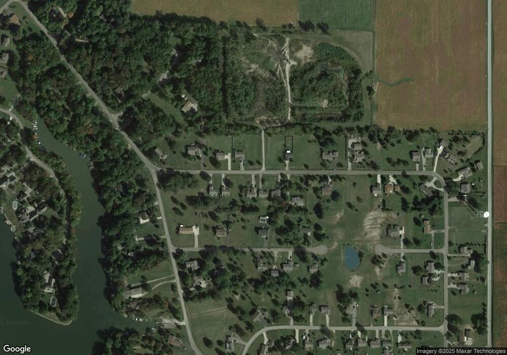
Map
Nearby Homes
- 714 Brande Dr
- 716 Brande Dr
- 708 Brande Dr
- 715 Brande Dr
- 706 Brande Dr
- 747 Swedish Cove
- 749 Swedish Cove
- 718 Brande Dr
- 709 Brande Dr
- 741 Swedish Cove
- 707 Brande Dr
- 717 Brande Dr
- 750 Swedish Cove
- 754 Swedish Cove
- 735 Swedish Cove
- 748 Swedish Cove
- 703 Brande Dr
- 724 Brande Dr
- 753 Swedish Cove
- 742 Swedish Cove