Estimated Value: $162,000 - $227,000
3
Beds
1
Bath
979
Sq Ft
$201/Sq Ft
Est. Value
About This Home
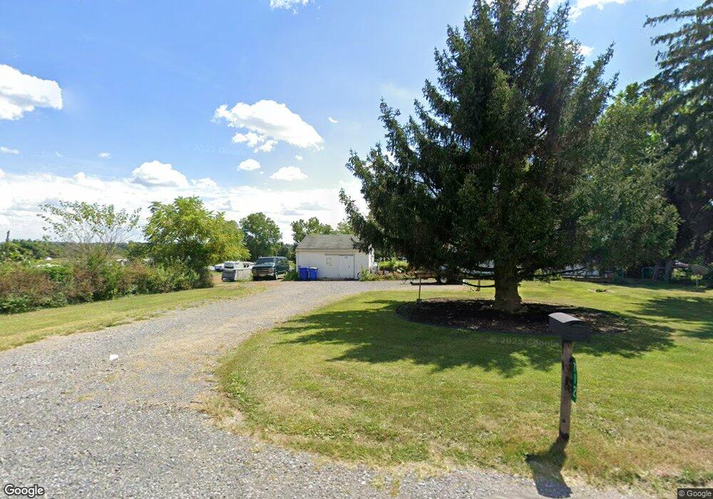
This home is located at 712 E Canal Rd, Dover, PA 17315 and is currently estimated at $197,076, approximately $201 per square foot. 712 E Canal Rd is a home located in York County with nearby schools including Northeastern Senior High School, Bible Baptist Christian Academy, and Christian School of York.
Ownership History
Date
Name
Owned For
Owner Type
Purchase Details
Closed on
Feb 11, 2025
Sold by
Davis Betty A
Bought by
Davis Jeffery S
Current Estimated Value
Purchase Details
Closed on
Jul 15, 2003
Sold by
Fissell Allene S and Shaub Judy A
Bought by
Paquette Joseph W and Davis Betty A
Home Financials for this Owner
Home Financials are based on the most recent Mortgage that was taken out on this home.
Original Mortgage
$60,000
Interest Rate
5.45%
Mortgage Type
Purchase Money Mortgage
Create a Home Valuation Report for This Property
The Home Valuation Report is an in-depth analysis detailing your home's value as well as a comparison with similar homes in the area
Home Values in the Area
Average Home Value in this Area
Purchase History
| Date | Buyer | Sale Price | Title Company |
|---|---|---|---|
| Davis Jeffery S | -- | None Listed On Document | |
| Davis Jeffery S | -- | None Listed On Document | |
| Paquette Joseph W | $75,000 | -- |
Source: Public Records
Mortgage History
| Date | Status | Borrower | Loan Amount |
|---|---|---|---|
| Previous Owner | Paquette Joseph W | $60,000 |
Source: Public Records
Tax History
| Year | Tax Paid | Tax Assessment Tax Assessment Total Assessment is a certain percentage of the fair market value that is determined by local assessors to be the total taxable value of land and additions on the property. | Land | Improvement |
|---|---|---|---|---|
| 2025 | $2,933 | $81,610 | $36,720 | $44,890 |
| 2024 | $2,867 | $81,610 | $36,720 | $44,890 |
| 2023 | $2,867 | $81,610 | $36,720 | $44,890 |
| 2022 | $2,849 | $81,610 | $36,720 | $44,890 |
| 2021 | $2,771 | $81,610 | $36,720 | $44,890 |
| 2020 | $2,771 | $81,610 | $36,720 | $44,890 |
| 2019 | $2,734 | $81,610 | $36,720 | $44,890 |
| 2018 | $2,721 | $81,610 | $36,720 | $44,890 |
| 2017 | $2,721 | $81,610 | $36,720 | $44,890 |
| 2016 | $0 | $81,610 | $36,720 | $44,890 |
| 2015 | -- | $81,610 | $36,720 | $44,890 |
| 2014 | -- | $81,610 | $36,720 | $44,890 |
Source: Public Records
Map
Nearby Homes
- 325 Grantway Dr
- 170 Bella Dr
- 215 Bella Dr
- 160 Bella Dr
- 180 Bella Dr
- 175 Bella Dr
- 135 Amber Ln
- 190 Bella Dr
- 285 Grantway Dr
- 140 Amber Ln
- 225 Bella Dr
- 235 Bella Dr
- 305 Grantway Dr
- 3120 Crooked Wind Ln
- 1724 Candle Ln
- 922 Shadowbrooke
- 880 Shadowbrooke
- 862 Shadowbrooke Dr
- 856 Shadowbrooke Dr
- 855 Shadowbrooke Dr
- 921 E Canal Rd
- 724 E Canal Rd
- 734 E Canal Rd
- 736 E Canal Rd
- 1870 Mill Creek Rd
- 699 E Canal Rd
- 1850 Mill Creek Rd
- 738 E Canal Rd
- 1945 Mill Creek Rd
- 1840 Mill Creek Rd
- 740 E Canal Rd
- 1845 Mill Creek Rd
- 750 E Canal Rd
- 750 E Canal Rd Unit 193
- 1810 Mill Creek Rd
- 195 Autumnwood Ave
- 1800 Mill Creek Rd
- 190 Autumnwood Ave
- 2031 Greenbriar Rd
- 185 Autumnwood Ave
Your Personal Tour Guide
Ask me questions while you tour the home.