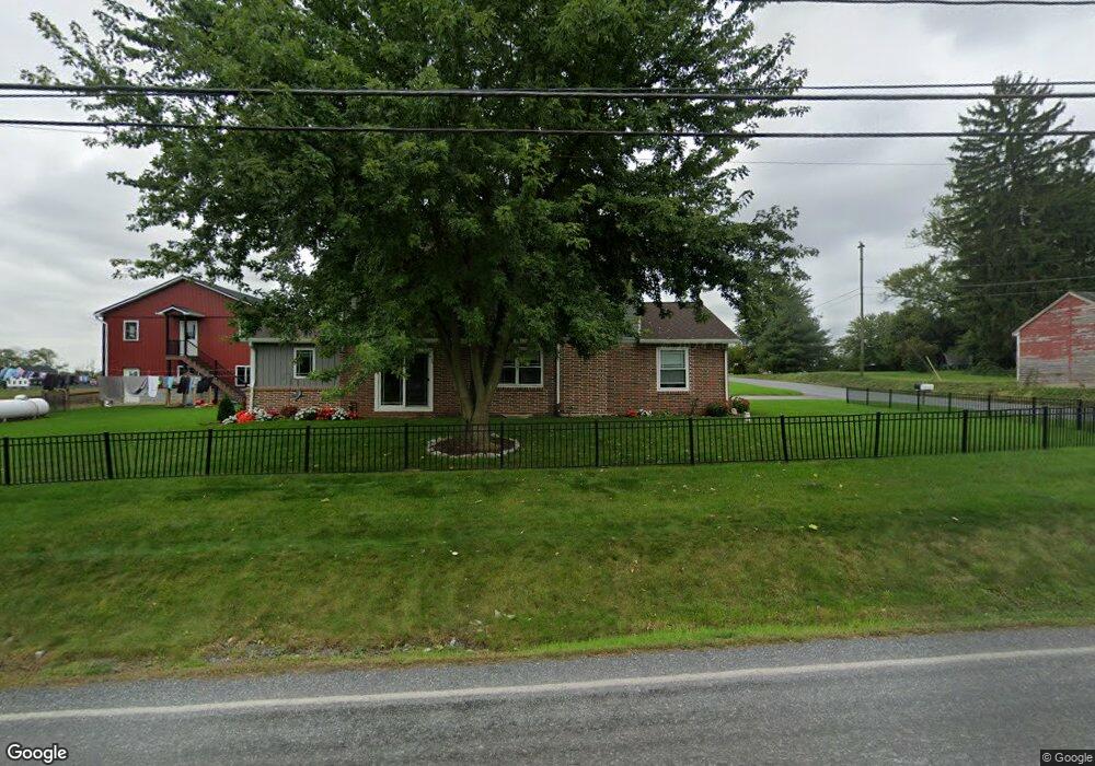
Estimated Value: $327,000 - $426,000
4
Beds
2
Baths
2,516
Sq Ft
$147/Sq Ft
Est. Value
About This Home
This home is located at 712 E Millport Rd, Leola, PA 17540 and is currently estimated at $370,214, approximately $147 per square foot. 712 E Millport Rd is a home located in Lancaster County with nearby schools including Warwick Senior High School, Lititz Christian School, and Linden Hall.
Ownership History
Date
Name
Owned For
Owner Type
Purchase Details
Closed on
Aug 13, 2020
Sold by
King John L and King Rosanna R
Bought by
King Mervin K and King Anna Mary
Current Estimated Value
Purchase Details
Closed on
Jul 25, 2019
Sold by
King John L and King Rosanna R
Bought by
Commonwealth Of Pennsylvania
Purchase Details
Closed on
Mar 2, 2012
Sold by
Estate Of Alexander Losensky
Bought by
King John L and King Rosanna R
Home Financials for this Owner
Home Financials are based on the most recent Mortgage that was taken out on this home.
Original Mortgage
$200,000
Interest Rate
3.88%
Mortgage Type
Future Advance Clause Open End Mortgage
Create a Home Valuation Report for This Property
The Home Valuation Report is an in-depth analysis detailing your home's value as well as a comparison with similar homes in the area
Home Values in the Area
Average Home Value in this Area
Purchase History
| Date | Buyer | Sale Price | Title Company |
|---|---|---|---|
| King Mervin K | $190,000 | None Available | |
| Commonwealth Of Pennsylvania | -- | None Available | |
| King John L | $275,000 | None Available |
Source: Public Records
Mortgage History
| Date | Status | Borrower | Loan Amount |
|---|---|---|---|
| Previous Owner | King John L | $200,000 |
Source: Public Records
Tax History Compared to Growth
Tax History
| Year | Tax Paid | Tax Assessment Tax Assessment Total Assessment is a certain percentage of the fair market value that is determined by local assessors to be the total taxable value of land and additions on the property. | Land | Improvement |
|---|---|---|---|---|
| 2025 | $5,381 | $274,500 | $86,300 | $188,200 |
| 2024 | $5,381 | $274,500 | $86,300 | $188,200 |
| 2023 | $5,357 | $274,500 | $86,300 | $188,200 |
| 2022 | $5,357 | $274,500 | $86,300 | $188,200 |
| 2021 | $3,749 | $192,100 | $86,300 | $105,800 |
| 2020 | $5,560 | $284,900 | $179,100 | $105,800 |
| 2019 | $5,560 | $284,900 | $179,100 | $105,800 |
| 2018 | $1,889 | $284,900 | $179,100 | $105,800 |
| 2017 | $5,226 | $211,100 | $134,400 | $76,700 |
| 2016 | $5,226 | $211,100 | $134,400 | $76,700 |
| 2015 | $352 | $211,100 | $134,400 | $76,700 |
| 2014 | $1,693 | $211,100 | $134,400 | $76,700 |
Source: Public Records
Map
Nearby Homes
- 8 Sherri Ln
- 618 Owl Hill Rd
- 5 Thaton Rd
- LOT 13 Thaton Rd
- 19 Thaton Rd
- 5 Kurtz Dr
- 2032 Main St
- 117 Meadow Ln
- 101 Siegrist Farm Rd Unit 89
- 397 Pierson Rd Unit 91
- 393 Pierson Rd Unit 90
- 437 Autumn Harvest Ln Unit 21
- 441 Autumn Harvest Ln Unit 22
- 408 Autumn Harvest Ln Unit 31
- 404 Autumn Harvest Ln Unit 32
- 373 Autumn Harvest Ln
- 1517 E Newport Rd
- 191 Pinetown Rd
- 70 Pebble Creek Dr
- Coriander Plan at Warwick Crossing - Carriage Homes
