Estimated Value: $180,000 - $200,600
3
Beds
1
Bath
1,092
Sq Ft
$175/Sq Ft
Est. Value
About This Home
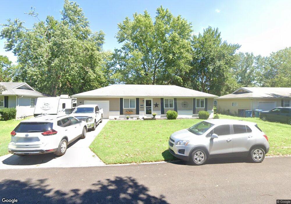
This home is located at 712 Frank St, Nixa, MO 65714 and is currently estimated at $191,150, approximately $175 per square foot. 712 Frank St is a home located in Christian County with nearby schools including P.S. 376, Summit Intermediate School, and High Pointe Elementary School.
Ownership History
Date
Name
Owned For
Owner Type
Purchase Details
Closed on
May 1, 2015
Sold by
Zauss Donna and Zauss David
Bought by
Krol Shana
Current Estimated Value
Home Financials for this Owner
Home Financials are based on the most recent Mortgage that was taken out on this home.
Original Mortgage
$83,163
Outstanding Balance
$64,182
Interest Rate
3.73%
Mortgage Type
New Conventional
Estimated Equity
$126,968
Purchase Details
Closed on
Jun 23, 2008
Sold by
Harrington Joe
Bought by
Ray Donna R
Home Financials for this Owner
Home Financials are based on the most recent Mortgage that was taken out on this home.
Original Mortgage
$87,624
Interest Rate
5.99%
Mortgage Type
FHA
Create a Home Valuation Report for This Property
The Home Valuation Report is an in-depth analysis detailing your home's value as well as a comparison with similar homes in the area
Home Values in the Area
Average Home Value in this Area
Purchase History
| Date | Buyer | Sale Price | Title Company |
|---|---|---|---|
| Krol Shana | -- | Hogan Land Title Company | |
| Ray Donna R | -- | None Available |
Source: Public Records
Mortgage History
| Date | Status | Borrower | Loan Amount |
|---|---|---|---|
| Open | Krol Shana | $83,163 | |
| Previous Owner | Ray Donna R | $87,624 |
Source: Public Records
Tax History Compared to Growth
Tax History
| Year | Tax Paid | Tax Assessment Tax Assessment Total Assessment is a certain percentage of the fair market value that is determined by local assessors to be the total taxable value of land and additions on the property. | Land | Improvement |
|---|---|---|---|---|
| 2024 | $1,071 | $17,180 | -- | -- |
| 2023 | $1,071 | $17,180 | $0 | $0 |
| 2022 | $953 | $15,280 | $0 | $0 |
| 2021 | $954 | $15,280 | $0 | $0 |
| 2020 | $856 | $13,090 | $0 | $0 |
| 2019 | $856 | $13,090 | $0 | $0 |
| 2018 | $724 | $11,880 | $0 | $0 |
| 2017 | $724 | $11,880 | $0 | $0 |
| 2016 | $713 | $11,880 | $0 | $0 |
| 2015 | $714 | $11,880 | $11,880 | $0 |
| 2014 | $697 | $11,890 | $0 | $0 |
| 2013 | $7 | $11,890 | $0 | $0 |
| 2011 | $7 | $23,780 | $0 | $0 |
Source: Public Records
Map
Nearby Homes
- 101 W Lorene St
- 200 Aspen Dr
- 909 Erin Ct
- 209 Raintree St
- 102 W Bennett St
- 501 N Main St
- 416 N Prospect St
- 211 W Hunter Dr
- 734 N Bluegill St
- 910 Northview Dr
- 702 E Crew St
- 898 E Virginia Ln Unit Lot 174
- 506 N Hightower Ave
- 312 Knight St
- 401 N Niangua Dr
- 1102 N Arlington
- 602 Cherry St
- 703 E Piney Ridge
- 106 N Prospect St
- 1259 N Maxine Ave