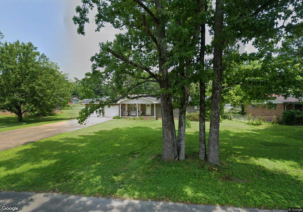
712 Fricks Ln Rossville, GA 30741
Estimated Value: $187,684 - $227,000
--
Bed
2
Baths
1,400
Sq Ft
$146/Sq Ft
Est. Value
About This Home
This home is located at 712 Fricks Ln, Rossville, GA 30741 and is currently estimated at $204,671, approximately $146 per square foot. 712 Fricks Ln is a home located in Walker County with nearby schools including Stone Creek Elementary School, Rossville Middle School, and Ridgeland High School.
Ownership History
Date
Name
Owned For
Owner Type
Purchase Details
Closed on
Jun 25, 1993
Sold by
Mcneese Kenneth N and Mcneese Kathy
Bought by
Mcneese Kathy Diane
Current Estimated Value
Purchase Details
Closed on
Oct 18, 1979
Sold by
Headrick William and Headrick Cynthia
Bought by
Mcneese Kenneth N and Mcneese Kathy
Purchase Details
Closed on
Oct 21, 1976
Sold by
Perry Dale and Perry Ruth
Bought by
Headrick William and Headrick Cynthia
Purchase Details
Closed on
Nov 27, 1974
Sold by
Blakemore James H
Bought by
Perry Dale and Perry Ruth
Purchase Details
Closed on
Jan 23, 1972
Sold by
Fricks Mrs G A
Bought by
Blakemore James H
Purchase Details
Closed on
Jan 1, 1972
Bought by
Fricks Mrs G A
Create a Home Valuation Report for This Property
The Home Valuation Report is an in-depth analysis detailing your home's value as well as a comparison with similar homes in the area
Home Values in the Area
Average Home Value in this Area
Purchase History
| Date | Buyer | Sale Price | Title Company |
|---|---|---|---|
| Mcneese Kathy Diane | -- | -- | |
| Mcneese Kenneth N | -- | -- | |
| Headrick William | -- | -- | |
| Perry Dale | -- | -- | |
| Blakemore James H | -- | -- | |
| Fricks Mrs G A | -- | -- |
Source: Public Records
Tax History Compared to Growth
Tax History
| Year | Tax Paid | Tax Assessment Tax Assessment Total Assessment is a certain percentage of the fair market value that is determined by local assessors to be the total taxable value of land and additions on the property. | Land | Improvement |
|---|---|---|---|---|
| 2024 | $1,132 | $46,065 | $3,720 | $42,345 |
| 2023 | $1,106 | $43,949 | $3,720 | $40,229 |
| 2022 | $1,036 | $38,554 | $3,720 | $34,834 |
| 2021 | $883 | $28,878 | $3,720 | $25,158 |
| 2020 | $868 | $27,282 | $3,720 | $23,562 |
| 2019 | $883 | $27,282 | $3,720 | $23,562 |
| 2018 | $722 | $27,282 | $3,720 | $23,562 |
| 2017 | $957 | $27,282 | $3,720 | $23,562 |
| 2016 | $798 | $27,282 | $3,720 | $23,562 |
| 2015 | $1,109 | $37,576 | $4,120 | $33,456 |
| 2014 | $1,013 | $37,576 | $4,120 | $33,456 |
| 2013 | -- | $37,576 | $4,120 | $33,456 |
Source: Public Records
Map
Nearby Homes
- 724 Shelly Ln
- 717 W James St
- 715 W James St
- 610 Union Ave
- 732 Salem Rd
- 211 Pat Webb Cir
- 601 James St
- 635 N Sherry Dr
- 126 S Liner St
- 53 Charlsie Trail Unit 12
- 275 Quarter St
- 58 Quarter St
- 52 Quarter St
- 44 Quarter St
- 33 Quarter St
- 27 Quarter St
- 19 Quarter St
- 11 Quarter St
- Penwell Plan at Hawk's Ridge
- Hanover Plan at Hawk's Ridge