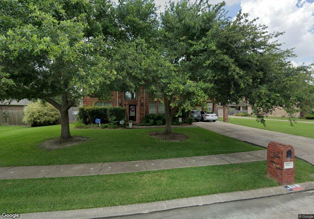
712 High Ridge Dr Friendswood, TX 77546
Estimated Value: $575,000 - $643,000
5
Beds
4
Baths
3,760
Sq Ft
$162/Sq Ft
Est. Value
About This Home
This home is located at 712 High Ridge Dr, Friendswood, TX 77546 and is currently estimated at $607,555, approximately $161 per square foot. 712 High Ridge Dr is a home located in Galveston County with nearby schools including C.W. Cline Elementary School, Windsong Elementary School, and Friendswood Junior High School.
Ownership History
Date
Name
Owned For
Owner Type
Purchase Details
Closed on
Mar 4, 2014
Sold by
Merino Mayper Barbara Cubis and Merino Mayper Barbara
Bought by
Merino Mayper Barbara and The Barbara Merino Living Trust
Current Estimated Value
Purchase Details
Closed on
Aug 30, 2013
Sold by
Surber Michael Roy and Surber Patricia
Bought by
Merin Mayper Barbara Dubis
Purchase Details
Closed on
Feb 28, 2006
Sold by
Baxter Robert M and Baxter Sandra L
Bought by
Surber Michael Roy and Surber Patricia
Home Financials for this Owner
Home Financials are based on the most recent Mortgage that was taken out on this home.
Original Mortgage
$270,400
Interest Rate
6.19%
Mortgage Type
Fannie Mae Freddie Mac
Purchase Details
Closed on
Jul 24, 2003
Sold by
J Patrick Homes Ltd
Bought by
Baxter Robert M and Baxter Sandra L
Home Financials for this Owner
Home Financials are based on the most recent Mortgage that was taken out on this home.
Original Mortgage
$248,900
Interest Rate
5.15%
Mortgage Type
Purchase Money Mortgage
Create a Home Valuation Report for This Property
The Home Valuation Report is an in-depth analysis detailing your home's value as well as a comparison with similar homes in the area
Home Values in the Area
Average Home Value in this Area
Purchase History
| Date | Buyer | Sale Price | Title Company |
|---|---|---|---|
| Merino Mayper Barbara | -- | None Available | |
| Merin Mayper Barbara Dubis | -- | Alamo Title Company | |
| Surber Michael Roy | -- | Alamo Title 23 | |
| Baxter Robert M | -- | Stewart Title Company |
Source: Public Records
Mortgage History
| Date | Status | Borrower | Loan Amount |
|---|---|---|---|
| Previous Owner | Surber Michael Roy | $270,400 | |
| Previous Owner | Baxter Robert M | $248,900 |
Source: Public Records
Tax History Compared to Growth
Tax History
| Year | Tax Paid | Tax Assessment Tax Assessment Total Assessment is a certain percentage of the fair market value that is determined by local assessors to be the total taxable value of land and additions on the property. | Land | Improvement |
|---|---|---|---|---|
| 2025 | $4,114 | $562,190 | $44,480 | $517,710 |
| 2024 | $4,114 | $557,520 | $44,480 | $513,040 |
| 2023 | $4,114 | $538,901 | $0 | $0 |
| 2022 | $10,790 | $489,910 | $44,480 | $445,430 |
| 2021 | $10,721 | $476,960 | $44,480 | $432,480 |
| 2020 | $10,053 | $417,280 | $44,480 | $372,800 |
| 2019 | $10,165 | $400,290 | $44,480 | $355,810 |
| 2018 | $10,224 | $400,290 | $44,480 | $355,810 |
| 2017 | $10,386 | $400,290 | $44,480 | $355,810 |
| 2016 | $9,442 | $363,570 | $44,480 | $319,090 |
| 2015 | $2,378 | $363,570 | $44,480 | $319,090 |
| 2014 | $2,377 | $305,610 | $44,480 | $261,130 |
Source: Public Records
Map
Nearby Homes
- 705 High Ridge Dr
- 1010 High Ridge Dr
- 1906 Blue Quail Dr
- 1802 Creekside Dr
- 1217 Red Wing Dr
- 2304 Old Rd
- 1302 Eagle Lakes Dr
- 506 Lakeside Ln
- 1305 Edgewater Dr
- 2305 Farris Valley Ln
- 2202 Calm Pond Ct
- 2120 Lila Sky Ln
- 505 Hunters Ln
- 120 Bandera Creek Ln
- 1673 Birch Lake Bend
- 1532 River Point Dr
- 110 Century Dr
- 2316 Durango Bend Ln
- 1601 Birch Lake Bend
- 1681 Birch Lake Ln
- 716 High Ridge Dr
- 708 High Ridge Dr
- 803 W Lake Cir
- 804 W Lake Cir
- 802 High Ridge Dr
- 704 High Ridge Dr
- 902 High Ridge Cir
- 713 High Ridge Dr
- 901 High Ridge Cir
- 709 High Ridge Dr
- 806 High Ridge Dr
- 832 Falcon Lake Dr
- 801 W Lake Cir
- 906 High Ridge Cir
- 836 Falcon Lake Dr
- 802 W Lake Cir
- 801 High Ridge Dr
- 905 High Ridge Cir
- 900 High Ridge Dr
- 800 W Lake Cir