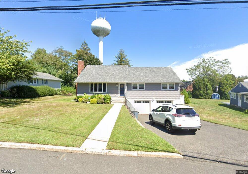
712 Howell Dr Brielle, NJ 08730
Estimated Value: $948,000 - $1,007,046
3
Beds
2
Baths
1,842
Sq Ft
$532/Sq Ft
Est. Value
About This Home
This home is located at 712 Howell Dr, Brielle, NJ 08730 and is currently estimated at $979,262, approximately $531 per square foot. 712 Howell Dr is a home located in Monmouth County with nearby schools including Brielle Elementary School and St. Peter School.
Ownership History
Date
Name
Owned For
Owner Type
Purchase Details
Closed on
Jun 13, 2017
Sold by
Harper Doris D and The Estate Of Walter T Harper
Bought by
Dulski Richard and Dulski Mary
Current Estimated Value
Home Financials for this Owner
Home Financials are based on the most recent Mortgage that was taken out on this home.
Original Mortgage
$173,972
Outstanding Balance
$146,570
Interest Rate
4.5%
Mortgage Type
FHA
Estimated Equity
$832,692
Purchase Details
Closed on
Apr 5, 2001
Sold by
Graver William
Bought by
Harper Walter
Create a Home Valuation Report for This Property
The Home Valuation Report is an in-depth analysis detailing your home's value as well as a comparison with similar homes in the area
Home Values in the Area
Average Home Value in this Area
Purchase History
| Date | Buyer | Sale Price | Title Company |
|---|---|---|---|
| Dulski Richard | $179,978 | None Available | |
| Harper Walter | $340,000 | -- |
Source: Public Records
Mortgage History
| Date | Status | Borrower | Loan Amount |
|---|---|---|---|
| Open | Dulski Richard | $173,972 |
Source: Public Records
Tax History
| Year | Tax Paid | Tax Assessment Tax Assessment Total Assessment is a certain percentage of the fair market value that is determined by local assessors to be the total taxable value of land and additions on the property. | Land | Improvement |
|---|---|---|---|---|
| 2025 | $8,797 | $813,600 | $579,500 | $234,100 |
| 2024 | $8,499 | $708,900 | $479,100 | $229,800 |
Source: Public Records
Map
Nearby Homes
- 612 Union Ave
- 642 Rankin Rd
- 308 South St
- 816 Rathjen Rd
- 607 Cherokee Ln
- 14 Lebanon Dr
- 846 William Dr
- 432 Oval Rd
- 610 Agnes Ave
- 1041 Oval Rd Unit 5
- 323-325 Fisk Ave
- 139 Lenape Trail
- 130 Union Ave
- 329 Fisk Ave
- 409 Laurel Ave
- 907 Riverview Dr
- 2526 Morningstar Rd
- 22 Crescent Dr
- 2513 Morningstar Rd
- 1533 Harvest Ln
Your Personal Tour Guide
Ask me questions while you tour the home.