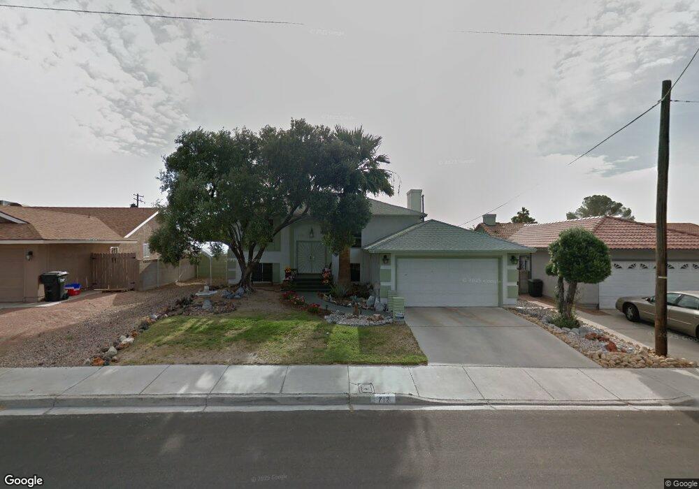
712 Langtry Dr Las Vegas, NV 89107
Twin Lakes NeighborhoodEstimated Value: $353,609 - $455,000
4
Beds
2
Baths
2,240
Sq Ft
$182/Sq Ft
Est. Value
About This Home
This home is located at 712 Langtry Dr, Las Vegas, NV 89107 and is currently estimated at $407,652, approximately $181 per square foot. 712 Langtry Dr is a home located in Clark County with nearby schools including E.W. Griffith Elementary School, Robert O Gibson Middle School, and Western High School.
Ownership History
Date
Name
Owned For
Owner Type
Purchase Details
Closed on
Dec 19, 2012
Sold by
Losky John M
Bought by
Losky John M and John M Losky Jr Revocable Living Trust
Current Estimated Value
Purchase Details
Closed on
Nov 17, 2012
Sold by
Losky John M
Bought by
Losky John M
Purchase Details
Closed on
Jan 12, 2005
Sold by
Losky John M
Bought by
Losky John M and John M Losky Jr Revocable Living Trust
Purchase Details
Closed on
Nov 30, 2004
Sold by
Losky John M
Bought by
Losky John M and John Mr Losky Jr Revocable Living Trust
Purchase Details
Closed on
Jul 10, 1997
Sold by
Walker Ron and Walker Orllyene D
Bought by
Losky John M
Home Financials for this Owner
Home Financials are based on the most recent Mortgage that was taken out on this home.
Original Mortgage
$118,201
Interest Rate
7.7%
Mortgage Type
FHA
Create a Home Valuation Report for This Property
The Home Valuation Report is an in-depth analysis detailing your home's value as well as a comparison with similar homes in the area
Home Values in the Area
Average Home Value in this Area
Purchase History
| Date | Buyer | Sale Price | Title Company |
|---|---|---|---|
| Losky John M | -- | None Available | |
| Losky John M | -- | None Available | |
| Losky John M | -- | -- | |
| Losky John M | -- | -- | |
| Losky John M | $119,500 | Old Republic Title Company |
Source: Public Records
Mortgage History
| Date | Status | Borrower | Loan Amount |
|---|---|---|---|
| Previous Owner | Losky John M | $118,201 |
Source: Public Records
Tax History Compared to Growth
Tax History
| Year | Tax Paid | Tax Assessment Tax Assessment Total Assessment is a certain percentage of the fair market value that is determined by local assessors to be the total taxable value of land and additions on the property. | Land | Improvement |
|---|---|---|---|---|
| 2025 | $1,338 | $61,794 | $32,200 | $29,594 |
| 2024 | $1,299 | $61,794 | $32,200 | $29,594 |
| 2023 | $1,299 | $60,717 | $33,950 | $26,767 |
| 2022 | $1,262 | $53,997 | $30,100 | $23,897 |
| 2021 | $1,225 | $47,791 | $25,550 | $22,241 |
| 2020 | $1,186 | $46,483 | $24,850 | $21,633 |
| 2019 | $1,152 | $42,182 | $21,350 | $20,832 |
| 2018 | $1,118 | $38,161 | $17,500 | $20,661 |
| 2017 | $1,284 | $39,159 | $17,500 | $21,659 |
| 2016 | $1,060 | $36,356 | $13,300 | $23,056 |
| 2015 | $1,057 | $32,505 | $9,100 | $23,405 |
| 2014 | $1,026 | $30,364 | $5,950 | $24,414 |
Source: Public Records
Map
Nearby Homes
- 800 Langtry Dr
- 821 Mar Jay Ct
- 4301 Fortune Ave
- 812 Pyramid Dr
- 812 Hogan Dr
- 4317 Hanford Ave
- 309 Estella Ave
- 312 Estella Ave
- 4405 Hanford Ave
- 1112 Hazard Ave
- 1317 Pyramid Dr
- 1300 Oak Tree Ln
- 1325 Pyramid Dr
- 3616 Roseglen Ct
- 1101 Silver Lake Dr
- 1313 Purple Sage Ave
- 3871 Mountain Trail
- 605 N Yale St
- 1225 Arrowhead Ave
- 216 Canyon Dr