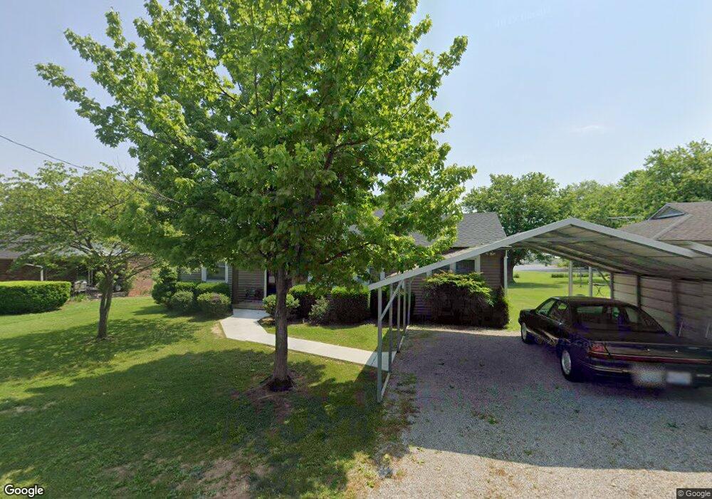
712 N High St Franklin, KY 42134
Estimated Value: $146,000 - $175,000
2
Beds
1
Bath
1,124
Sq Ft
$144/Sq Ft
Est. Value
About This Home
This home is located at 712 N High St, Franklin, KY 42134 and is currently estimated at $161,496, approximately $143 per square foot. 712 N High St is a home located in Simpson County with nearby schools including Franklin Elementary School, Lincoln Elementary School, and Simpson Elementary School.
Ownership History
Date
Name
Owned For
Owner Type
Purchase Details
Closed on
May 1, 2017
Sold by
Tracy Arthur Russell and Tracy Carolle Paulette
Bought by
Rowland Wesley Clark and Rowland Pamela Jay
Current Estimated Value
Home Financials for this Owner
Home Financials are based on the most recent Mortgage that was taken out on this home.
Original Mortgage
$55,250
Outstanding Balance
$28,891
Interest Rate
4.23%
Mortgage Type
Future Advance Clause Open End Mortgage
Estimated Equity
$132,605
Create a Home Valuation Report for This Property
The Home Valuation Report is an in-depth analysis detailing your home's value as well as a comparison with similar homes in the area
Home Values in the Area
Average Home Value in this Area
Purchase History
| Date | Buyer | Sale Price | Title Company |
|---|---|---|---|
| Rowland Wesley Clark | $65,000 | None Available |
Source: Public Records
Mortgage History
| Date | Status | Borrower | Loan Amount |
|---|---|---|---|
| Open | Rowland Wesley Clark | $55,250 |
Source: Public Records
Tax History Compared to Growth
Tax History
| Year | Tax Paid | Tax Assessment Tax Assessment Total Assessment is a certain percentage of the fair market value that is determined by local assessors to be the total taxable value of land and additions on the property. | Land | Improvement |
|---|---|---|---|---|
| 2024 | $752 | $85,000 | $0 | $0 |
| 2023 | $791 | $85,000 | $0 | $0 |
| 2022 | $744 | $85,000 | $0 | $0 |
| 2021 | $738 | $85,000 | $0 | $0 |
| 2020 | $570 | $65,000 | $0 | $0 |
| 2019 | $581 | $65,000 | $0 | $0 |
| 2018 | $578 | $65,000 | $0 | $0 |
| 2017 | $522 | $65,000 | $0 | $0 |
| 2016 | $517 | $60,000 | $0 | $0 |
| 2015 | -- | $60,000 | $0 | $0 |
| 2013 | -- | $60,000 | $0 | $0 |
Source: Public Records
Map
Nearby Homes
- 609 Mayes Ln
- 609 N High St
- 434 Morgantown Rd
- 832 N Main St
- 419 N Main St
- 417 N College St
- 417 N College St
- 402 Lynwood Dr
- 1 Redwood Dr
- 506 Hedgewood Dr
- Aspen Plan at Hammons Farm
- Spruce Plan at Hammons Farm
- Cedar Plan at Hammons Farm
- Birch Plan at Hammons Farm
- 103 Ogles Ave
- 301 N College St
- 305 Mcgoodwin Ave
- 603 Jefferson St
- 309 Mcgoodwin Ave
- 309 E Washington St
- 710 N High St
- 714 N High St
- 713 N High St
- 715 N High St
- 118 Morgantown Rd
- 200 Morgantown Rd
- 207 Leon St
- 206 Morgantown Rd
- 705 N Main St
- 208 Morgantown Rd
- 206 Leon St
- 211 Leon St
- 727 N Main St
- 210 Morgantown Rd
- 201 Morgantown Rd
- 210 Leon St
- 203 Morgantown Rd
- 115 Morgantown Rd
- 213 Leon St
- 209 Morgantown Rd