712 Pea Ridge Rd Rockmart, GA 30153
Estimated Value: $220,000 - $265,000
3
Beds
2
Baths
1,452
Sq Ft
$170/Sq Ft
Est. Value
About This Home
This home is located at 712 Pea Ridge Rd, Rockmart, GA 30153 and is currently estimated at $246,122, approximately $169 per square foot. 712 Pea Ridge Rd is a home located in Polk County.
Ownership History
Date
Name
Owned For
Owner Type
Purchase Details
Closed on
Nov 1, 2002
Sold by
Waters Steve and Waters Jan
Bought by
Baxter Dusty Lamar
Current Estimated Value
Purchase Details
Closed on
Dec 3, 1998
Sold by
Bollen J T
Bought by
Waters Steve and Waters Jan
Purchase Details
Closed on
Apr 28, 1995
Sold by
Bollen Maggie Mae D
Bought by
Bollen J T
Purchase Details
Closed on
Apr 12, 1992
Sold by
Bollen Maggie Exec
Bought by
Bollen Maggie
Purchase Details
Closed on
Jun 16, 1988
Sold by
Grant Peter A and Grant Judy
Bought by
Bollen Maggie Mae
Purchase Details
Closed on
Nov 29, 1977
Bought by
Grant Peter A and Grant Judy
Create a Home Valuation Report for This Property
The Home Valuation Report is an in-depth analysis detailing your home's value as well as a comparison with similar homes in the area
Home Values in the Area
Average Home Value in this Area
Purchase History
| Date | Buyer | Sale Price | Title Company |
|---|---|---|---|
| Baxter Dusty Lamar | $121,900 | -- | |
| Waters Steve | $50,000 | -- | |
| Bollen J T | -- | -- | |
| Bollen Maggie | -- | -- | |
| Bollen Maggie Mae | $72,500 | -- | |
| Grant Peter A | -- | -- |
Source: Public Records
Tax History Compared to Growth
Tax History
| Year | Tax Paid | Tax Assessment Tax Assessment Total Assessment is a certain percentage of the fair market value that is determined by local assessors to be the total taxable value of land and additions on the property. | Land | Improvement |
|---|---|---|---|---|
| 2024 | $1,800 | $88,129 | $3,834 | $84,295 |
| 2023 | $1,441 | $62,737 | $3,834 | $58,903 |
| 2022 | $1,260 | $55,111 | $2,556 | $52,555 |
| 2021 | $1,277 | $55,111 | $2,556 | $52,555 |
| 2020 | $1,279 | $55,111 | $2,556 | $52,555 |
| 2019 | $1,190 | $46,310 | $2,556 | $43,754 |
| 2018 | $1,161 | $44,152 | $2,556 | $41,596 |
| 2017 | $1,147 | $44,152 | $2,556 | $41,596 |
| 2016 | $1,166 | $44,842 | $3,246 | $41,596 |
| 2015 | $1,184 | $45,381 | $3,246 | $42,136 |
| 2014 | $1,193 | $45,381 | $3,246 | $42,136 |
Source: Public Records
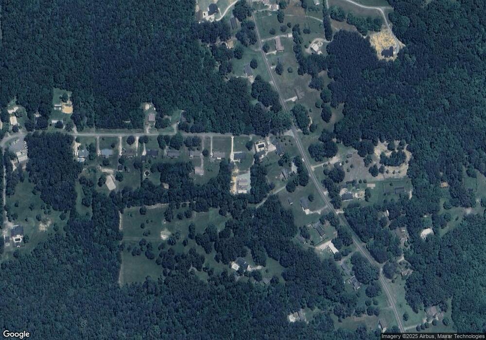
Map
Nearby Homes
- 722 Prospect Rd
- 702 Calloway Dr
- 278 Oak Hill Dr
- 197 Oak Hill Dr
- 740 Calloway Dr
- 0 Highway 278 Nathan Dean Bypass Unit 10134156
- 2979 Nathan Dean Pkwy
- 00 Nathan Dean Pkwy
- 0 Nathan Dean Pkwy Unit 10366146
- 102 Highland Dr
- 132 Highland Dr
- 1714 Cedartown Hwy
- 2470 Nathan Dean Pkwy
- 100 Hixville Rd
- 19 Williams St
- 133 N Bellview Rd
- 571 N Marble St
- 713 Church St
- 825 Wilson St
- 750 W Church St
- 700 Pea Ridge Rd
- 682 Pea Ridge Rd
- 682 Pea Ridge Rd
- 609 Prospect Rd
- 591 Prospect Rd
- 639 Prospect Rd
- 668 Pea Ridge Rd
- 654 Pea Ridge Rd
- 675 Pea Ridge Rd
- 569 Prospect Rd
- 582 Prospect Rd
- 582 Prospect Rd
- 638 Prospect Rd
- 665 Prospect Rd
- 662 Prospect Rd
- 653 Pea Ridge Rd
- 585 Prospect Rd
- 549 Prospect Rd
- 636 Pea Ridge Rd
- 677 Prospect Rd