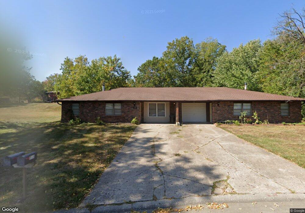
712 Pear Tree Cir Unit 714 Columbia, MO 65203
Cedar Lake NeighborhoodEstimated Value: $254,000 - $276,000
4
Beds
2
Baths
1,728
Sq Ft
$153/Sq Ft
Est. Value
About This Home
This home is located at 712 Pear Tree Cir Unit 714, Columbia, MO 65203 and is currently estimated at $265,083, approximately $153 per square foot. 712 Pear Tree Cir Unit 714 is a home located in Boone County with nearby schools including Mill Creek Elementary School, Ann Hawkins Gentry Middle School, and Rock Bridge High School.
Ownership History
Date
Name
Owned For
Owner Type
Purchase Details
Closed on
Oct 28, 2014
Sold by
Leipard Michael Leslie and Leipard Connie Marie
Bought by
High Point Rental Llc
Current Estimated Value
Create a Home Valuation Report for This Property
The Home Valuation Report is an in-depth analysis detailing your home's value as well as a comparison with similar homes in the area
Home Values in the Area
Average Home Value in this Area
Purchase History
| Date | Buyer | Sale Price | Title Company |
|---|---|---|---|
| High Point Rental Llc | -- | None Available |
Source: Public Records
Tax History Compared to Growth
Tax History
| Year | Tax Paid | Tax Assessment Tax Assessment Total Assessment is a certain percentage of the fair market value that is determined by local assessors to be the total taxable value of land and additions on the property. | Land | Improvement |
|---|---|---|---|---|
| 2025 | $1,563 | $23,864 | $4,237 | $19,627 |
| 2024 | $1,464 | $21,698 | $4,237 | $17,461 |
| 2023 | $1,452 | $21,698 | $4,237 | $17,461 |
| 2022 | $1,394 | $20,862 | $4,237 | $16,625 |
| 2021 | $1,397 | $20,862 | $4,237 | $16,625 |
| 2020 | $1,376 | $19,309 | $4,237 | $15,072 |
| 2019 | $1,376 | $19,309 | $4,237 | $15,072 |
| 2018 | $1,283 | $0 | $0 | $0 |
| 2017 | $1,265 | $17,879 | $4,237 | $13,642 |
| 2016 | $1,265 | $17,879 | $4,237 | $13,642 |
| 2015 | $1,162 | $17,879 | $4,237 | $13,642 |
| 2014 | -- | $17,879 | $4,237 | $13,642 |
Source: Public Records
Map
Nearby Homes
- 1101 W Southampton Dr
- 4520 E Bridgewood Dr
- 4301 Forum Blvd
- LOT 136 Clear Creek Estates
- LOT 129 Clear Creek Estates
- LOT 101 Clear Creek Estates
- LOT 128 Clear Creek Estates
- 1317 Troon Dr
- 525 W Bethel Dr
- 4506 Kirkdale Ct
- 4103 Nashua Ct
- 504 Dustin Dr
- 1707 Brookfield Manor
- 809 Rutland Dr
- 1714 Worcester Ln
- 1308 Vintage Dr
- 1421 Torrey Pines Dr
- 109 Seville Ave Unit A & B
- 301 E Old Plank Rd
- 3711 Shadow Glen Ct
- 722 Pear Tree Cir Unit 724
- 702-704 Pear Tree Cir
- 702 Pear Tree Cir Unit 704
- 702-4 Peartree Cr
- 724 Pear Tree Cir
- 4732 Lake Valley Ln Unit 4734
- 4706 Lake Valley Ln Unit 4708
- 703 Pear Tree Cir Unit 705
- 4658-4660 Lake Valley Ln
- 4658 Lake Valley Ln Unit 4660
- 725 Pear Tree Cir
- 652 Pear Tree Cir Unit 654
- 732 Pear Tree Cir
- 4758 Lake Valley Ln Unit 4760
- 732 Pear Tree Cir Unit 734
- 652-654 Pear Tree Cir
- 723 Pear Tree Cir Unit 725
- 723-725 Pear Tree Cir
- 753 N Cedar Lake Dr W
- 633-635 Pear Tree Cir