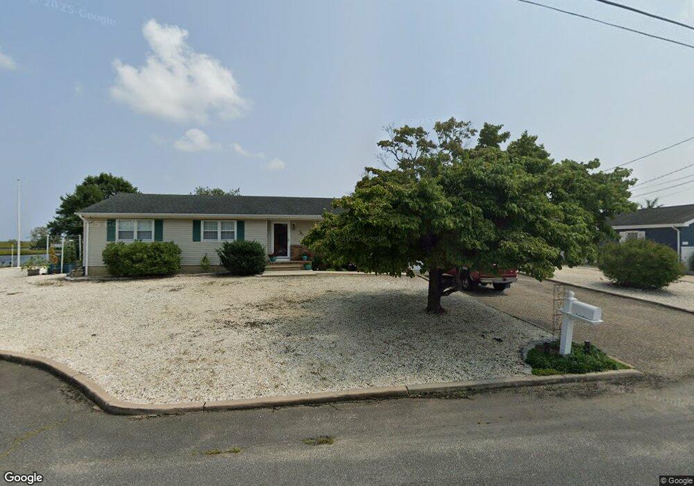
712 Richmond Dr Forked River, NJ 08731
Lacey Township NeighborhoodEstimated Value: $694,000 - $901,000
3
Beds
3
Baths
1,704
Sq Ft
$470/Sq Ft
Est. Value
About This Home
This home is located at 712 Richmond Dr, Forked River, NJ 08731 and is currently estimated at $801,556, approximately $470 per square foot. 712 Richmond Dr is a home located in Ocean County with nearby schools including Lacey Township High School.
Ownership History
Date
Name
Owned For
Owner Type
Purchase Details
Closed on
Jul 16, 1999
Sold by
Turner Alfred and Turner Nanette
Bought by
Meola Anthony J and Meola Arlene L
Current Estimated Value
Home Financials for this Owner
Home Financials are based on the most recent Mortgage that was taken out on this home.
Original Mortgage
$105,000
Outstanding Balance
$29,528
Interest Rate
7.61%
Estimated Equity
$772,028
Purchase Details
Closed on
Mar 27, 1998
Sold by
Sovereign Bank
Bought by
Turner Alfred and Turner Nanette
Purchase Details
Closed on
Sep 30, 1997
Sold by
Polhemus William L
Bought by
Bankers Svgs
Home Financials for this Owner
Home Financials are based on the most recent Mortgage that was taken out on this home.
Original Mortgage
$196,542
Interest Rate
7.48%
Create a Home Valuation Report for This Property
The Home Valuation Report is an in-depth analysis detailing your home's value as well as a comparison with similar homes in the area
Home Values in the Area
Average Home Value in this Area
Purchase History
| Date | Buyer | Sale Price | Title Company |
|---|---|---|---|
| Meola Anthony J | $245,700 | Transnation Title Insurance | |
| Turner Alfred | $180,000 | -- | |
| Bankers Svgs | -- | -- |
Source: Public Records
Mortgage History
| Date | Status | Borrower | Loan Amount |
|---|---|---|---|
| Open | Meola Anthony J | $105,000 | |
| Previous Owner | Bankers Svgs | $196,542 |
Source: Public Records
Tax History Compared to Growth
Tax History
| Year | Tax Paid | Tax Assessment Tax Assessment Total Assessment is a certain percentage of the fair market value that is determined by local assessors to be the total taxable value of land and additions on the property. | Land | Improvement |
|---|---|---|---|---|
| 2025 | $12,047 | $475,400 | $331,500 | $143,900 |
| 2024 | $11,262 | $475,400 | $331,500 | $143,900 |
| 2023 | $10,758 | $475,400 | $331,500 | $143,900 |
| 2022 | $10,758 | $475,400 | $331,500 | $143,900 |
| 2021 | $10,578 | $475,400 | $331,500 | $143,900 |
| 2020 | $10,240 | $475,400 | $331,500 | $143,900 |
| 2019 | $10,059 | $475,400 | $331,500 | $143,900 |
| 2018 | $9,941 | $475,400 | $331,500 | $143,900 |
| 2017 | $9,712 | $475,400 | $331,500 | $143,900 |
| 2016 | $9,674 | $475,400 | $331,500 | $143,900 |
| 2015 | $9,242 | $475,400 | $331,500 | $143,900 |
| 2014 | $8,892 | $517,000 | $441,500 | $75,500 |
Source: Public Records
Map
Nearby Homes
- 709 Richmond Dr
- 707 Richmond Dr
- 705 Roanoke Dr
- 813 Tiller Dr
- 953 Capstan Dr
- 1002 Neosho Dr
- 1011 Neosho Dr
- 1043 Montauk Dr
- 813 Forepeak Dr
- 823 Forepeak Dr
- 410 Sunrise Blvd
- 416 Irons St
- 307 Sunrise Blvd
- 836 Spar Dr
- 307 Windjammer Ct
- 308 Pine Forest Ln
- 218 Sunset Dr
- 101 Foxwood Ln
- 311 Pine Forest Ln
- 210 Sunrise Blvd
- 715 Richmond Dr
- 705 Richmond Dr
- 908 Shenandoah Dr
- 717 Richmond Dr
- 703 Richmond Dr
- 906 Shenandoah Dr
- 910 Shenandoah Dr
- 905 Shenandoah Dr
- 718 Richmond Dr
- 701 Richmond Dr
- 904 Shenandoah Dr
- 912 Shenandoah Dr
- 722 Nautilus Blvd
- 717 Roanoke Dr
- 914 Shenandoah Dr
- 916 Shenandoah Dr
- 718 Roanoke Dr
- 716 Nautilus Blvd
- 715 Roanoke Dr
- 903 Shenandoah Dr