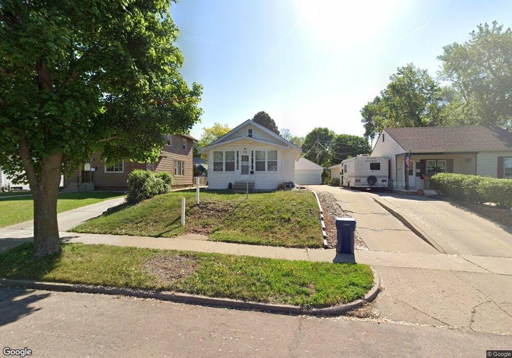
712 S Euclid Ave Sioux Falls, SD 57104
Augustana NeighborhoodEstimated Value: $238,000 - $249,000
3
Beds
2
Baths
1,008
Sq Ft
$242/Sq Ft
Est. Value
About This Home
This home is located at 712 S Euclid Ave, Sioux Falls, SD 57104 and is currently estimated at $244,321, approximately $242 per square foot. 712 S Euclid Ave is a home located in Minnehaha County with nearby schools including Lowell Elementary School, Edison Middle School, and Roosevelt High School.
Ownership History
Date
Name
Owned For
Owner Type
Purchase Details
Closed on
May 17, 2019
Sold by
Kolba Joseph and Abel Lacy
Bought by
Mccloud Cory
Current Estimated Value
Home Financials for this Owner
Home Financials are based on the most recent Mortgage that was taken out on this home.
Original Mortgage
$134,000
Outstanding Balance
$117,328
Interest Rate
4.1%
Mortgage Type
Stand Alone First
Estimated Equity
$126,993
Create a Home Valuation Report for This Property
The Home Valuation Report is an in-depth analysis detailing your home's value as well as a comparison with similar homes in the area
Home Values in the Area
Average Home Value in this Area
Purchase History
| Date | Buyer | Sale Price | Title Company |
|---|---|---|---|
| Mccloud Cory | $145,000 | Stewart Title Company | |
| Mccloud Cory | $145,000 | Stewart Title Company |
Source: Public Records
Mortgage History
| Date | Status | Borrower | Loan Amount |
|---|---|---|---|
| Open | Mccloud Cory | $134,000 | |
| Closed | Mccloud Cory | $134,000 | |
| Closed | Mccloud Cory | $134,000 |
Source: Public Records
Tax History
| Year | Tax Paid | Tax Assessment Tax Assessment Total Assessment is a certain percentage of the fair market value that is determined by local assessors to be the total taxable value of land and additions on the property. | Land | Improvement |
|---|---|---|---|---|
| 2024 | $2,760 | $203,500 | $25,400 | $178,100 |
| 2023 | $2,435 | $172,200 | $26,500 | $145,700 |
| 2022 | $2,358 | $157,300 | $26,500 | $130,800 |
| 2021 | $1,864 | $135,300 | $0 | $0 |
| 2020 | $1,864 | $118,500 | $0 | $0 |
| 2019 | $1,871 | $116,927 | $0 | $0 |
| 2018 | $1,692 | $113,421 | $0 | $0 |
| 2017 | $1,583 | $106,066 | $19,260 | $86,806 |
| 2016 | $1,583 | $99,085 | $19,260 | $79,825 |
| 2015 | $1,568 | $94,359 | $18,190 | $76,169 |
| 2014 | -- | $94,359 | $18,190 | $76,169 |
Source: Public Records
Map
Nearby Homes
- 610 S Grange Ave
- 706 S Menlo Ave
- 1211 W 13th St
- 617 S Walts Ave
- 1204 W 13th St
- 608 S Walts Ave
- 817 W 15th St
- 812 S Glendale Ave
- 816 S Glendale Ave
- 601 S Prairie Ave
- 1320 W Sioux St
- 536 S Glendale Ave
- 804 S Hawthorne Ave
- 418 S West Ave
- 819 S Summit Ave
- 817 W 12th St
- 1604 W 18th St
- 708 S Summit Ave
- 804 S Summit Ave
- 310 & 308 S Walts Ave Ave
- 710 S Euclid Ave
- 728 S Euclid Ave
- 708 S Euclid Ave
- 732 S Euclid Ave
- 734 S Euclid Ave
- 706 S Euclid Ave
- 717 S Grange Ave
- 715 S Grange Ave
- 719 S Grange Ave
- 727 S Euclid Ave
- 721 S Euclid Ave
- 711 S Grange Ave
- 704 S Euclid Ave
- 729 S Euclid Ave
- 725 S Grange Ave
- 725 S Euclid Ave
- 717 S Euclid Ave
- 707 S Grange Ave
- 729 S Grange Ave
- 733 S Euclid Ave
Your Personal Tour Guide
Ask me questions while you tour the home.