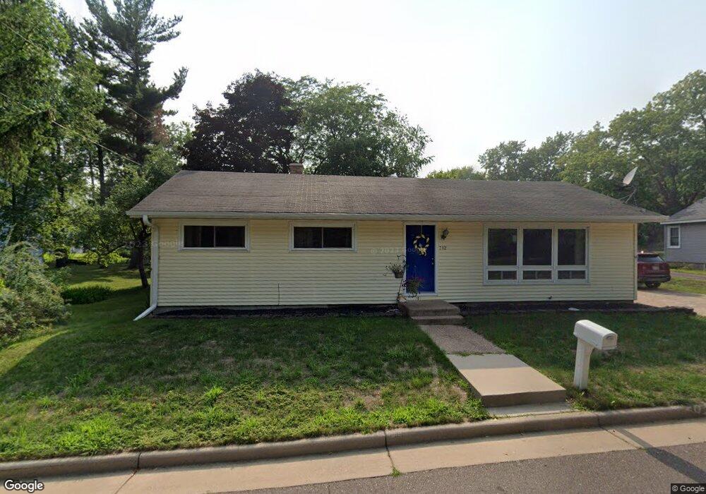
712 Slawson Ct Eau Claire, WI 54703
Estimated Value: $243,692 - $265,000
3
Beds
1
Bath
1,248
Sq Ft
$205/Sq Ft
Est. Value
About This Home
This home is located at 712 Slawson Ct, Eau Claire, WI 54703 and is currently estimated at $255,673, approximately $204 per square foot. 712 Slawson Ct is a home located in Eau Claire County with nearby schools including Lakeshore Elementary School, Delong Middle School, and Memorial High School.
Ownership History
Date
Name
Owned For
Owner Type
Purchase Details
Closed on
Jan 5, 2007
Sold by
Englert Charles R and Englert Joan M
Bought by
Kienholz Lance M and Kienholz Jessica L
Current Estimated Value
Home Financials for this Owner
Home Financials are based on the most recent Mortgage that was taken out on this home.
Original Mortgage
$80,000
Outstanding Balance
$47,888
Interest Rate
6.24%
Mortgage Type
New Conventional
Estimated Equity
$207,785
Create a Home Valuation Report for This Property
The Home Valuation Report is an in-depth analysis detailing your home's value as well as a comparison with similar homes in the area
Home Values in the Area
Average Home Value in this Area
Purchase History
| Date | Buyer | Sale Price | Title Company |
|---|---|---|---|
| Kienholz Lance M | $100,000 | None Available |
Source: Public Records
Mortgage History
| Date | Status | Borrower | Loan Amount |
|---|---|---|---|
| Open | Kienholz Lance M | $80,000 |
Source: Public Records
Tax History Compared to Growth
Tax History
| Year | Tax Paid | Tax Assessment Tax Assessment Total Assessment is a certain percentage of the fair market value that is determined by local assessors to be the total taxable value of land and additions on the property. | Land | Improvement |
|---|---|---|---|---|
| 2024 | $4,139 | $174,300 | $34,800 | $139,500 |
| 2023 | $4,085 | $159,800 | $34,800 | $125,000 |
| 2022 | $4,032 | $159,800 | $34,800 | $125,000 |
| 2021 | $3,625 | $159,800 | $34,800 | $125,000 |
| 2020 | $2,909 | $131,300 | $34,800 | $96,500 |
| 2019 | $2,908 | $131,300 | $34,800 | $96,500 |
| 2018 | $2,897 | $131,300 | $34,800 | $96,500 |
| 2017 | $2,913 | $111,700 | $27,200 | $84,500 |
| 2016 | $0 | $111,700 | $27,200 | $84,500 |
| 2014 | -- | $111,700 | $27,200 | $84,500 |
| 2013 | -- | $111,700 | $27,200 | $84,500 |
Source: Public Records
Map
Nearby Homes
- 1817 Sunset Dr
- 2208 W Menomonie St
- 1536 11th St
- 1612 11th St
- 902 Water St Unit 1-3
- 1704 9th St
- 739 Broadway St
- 1705 9th St
- 217 Skyline Dr
- 205 Skyline Dr
- 915 Platt St
- 615 Congress St
- 2218 Fenner St
- 424 6th Ave
- 539 W Grand Ave
- 1011 6th Ave
- 540 Niagara St Unit 2
- 527 W Grand Ave
- 527 Broadway St
- 2139 12th St
- 714 Slawson Ct
- 708 Slawson Ct
- 709 Park Ridge Dr
- 713 Park Ridge Dr
- 721 Park Ridge Dr
- 663 Park Ridge Dr
- 659 Park Ridge Dr
- 716 Park Ridge Dr
- 712 Park Ridge Dr
- 653 Park Ridge Dr
- 649 Park Ridge Dr
- 656 Park Ridge Dr
- 734 Park Ridge Dr
- 668 Park Ridge Dr
- 660 Park Ridge Dr
- 641 Park Ridge Dr
- 652 Park Ridge Dr
- 715 Buffington Dr
- 654 Park Ridge Dr
- 701 Buffington Dr