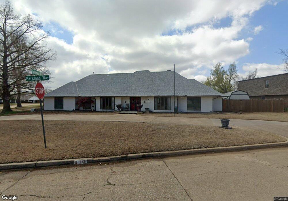
712 Sundown Dr Norman, OK 73069
Westwood Park NeighborhoodEstimated Value: $427,000 - $578,000
4
Beds
3
Baths
4,466
Sq Ft
$111/Sq Ft
Est. Value
About This Home
This home is located at 712 Sundown Dr, Norman, OK 73069 and is currently estimated at $493,616, approximately $110 per square foot. 712 Sundown Dr is a home located in Cleveland County with nearby schools including Cleveland Elementary School, Whittier Middle School, and Norman North High School.
Ownership History
Date
Name
Owned For
Owner Type
Purchase Details
Closed on
Jul 1, 2014
Sold by
Thurston Richard E and Thurston Iris M
Bought by
George William R and George Tamara R
Current Estimated Value
Purchase Details
Closed on
Jun 18, 2009
Sold by
Sharon M Johnson Trust
Bought by
Thurston Richard E and Thurston Iris M
Home Financials for this Owner
Home Financials are based on the most recent Mortgage that was taken out on this home.
Original Mortgage
$183,900
Interest Rate
4.84%
Mortgage Type
New Conventional
Create a Home Valuation Report for This Property
The Home Valuation Report is an in-depth analysis detailing your home's value as well as a comparison with similar homes in the area
Home Values in the Area
Average Home Value in this Area
Purchase History
| Date | Buyer | Sale Price | Title Company |
|---|---|---|---|
| George William R | -- | None Available | |
| Thurston Richard E | $314,500 | None Available |
Source: Public Records
Mortgage History
| Date | Status | Borrower | Loan Amount |
|---|---|---|---|
| Previous Owner | Thurston Richard E | $183,900 |
Source: Public Records
Tax History Compared to Growth
Tax History
| Year | Tax Paid | Tax Assessment Tax Assessment Total Assessment is a certain percentage of the fair market value that is determined by local assessors to be the total taxable value of land and additions on the property. | Land | Improvement |
|---|---|---|---|---|
| 2024 | $4,300 | $36,907 | $3,291 | $33,616 |
| 2023 | $4,183 | $35,832 | $3,545 | $32,287 |
| 2022 | $3,890 | $34,788 | $3,000 | $31,788 |
| 2021 | $4,101 | $34,788 | $3,000 | $31,788 |
| 2020 | $4,013 | $34,788 | $3,000 | $31,788 |
| 2019 | $4,081 | $34,788 | $3,000 | $31,788 |
| 2018 | $3,960 | $34,789 | $3,000 | $31,789 |
| 2017 | $4,003 | $34,789 | $0 | $0 |
| 2016 | $4,070 | $34,789 | $3,000 | $31,789 |
| 2015 | -- | $34,224 | $2,426 | $31,798 |
| 2014 | -- | $34,224 | $2,426 | $31,798 |
Source: Public Records
Map
Nearby Homes
- 2128 Parkland Way
- 2324 Parkland Way
- 344 Royal Oak Dr
- 1713 Canterbury St
- 1702 Denison Dr
- 306 Royal Oak Dr
- 1616 Dakota St
- 336 N Sherry Ave
- 1603 Denison Dr
- 1803 Crestmont St
- 1502 Denison Dr
- 1502 Iowa St
- 809 26th Ave NW
- 813 26th Ave NW
- 817 26th Ave NW
- 1103 Woods Ave
- 239 Foreman Ave
- 916 Canterbury Ave
- 206 Collier Dr
- 1719 Zayden Ln
- 2108 Parkland Way
- 700 Sundown Dr
- 2109 Morgan Dr
- 2103 Parkland Way
- 711 Sundown Dr
- 2115 Morgan Dr
- 2116 Parkland Way
- 2113 Parkland Way
- 2203 Morgan Dr
- 2104 Westwood Dr
- 701 Sundown Dr
- 727 Sundown Dr
- 2102 Morgan Dr
- 2126 Morgan Dr
- 2112 Westwood Dr
- 2119 Parkland Way
- 2209 Morgan Dr
- 2200 Morgan Dr
- 2120 Westwood Dr
- 2024 Morgan Dr