712 Sylvester Dr Nahunta, GA 31553
Estimated Value: $136,000
1
Bed
1
Bath
480
Sq Ft
$283/Sq Ft
Est. Value
About This Home
This home is located at 712 Sylvester Dr, Nahunta, GA 31553 and is currently estimated at $136,000, approximately $283 per square foot. 712 Sylvester Dr is a home with nearby schools including Nahunta Primary School, Nahunta Elementary School, and Brantley County Middle School.
Ownership History
Date
Name
Owned For
Owner Type
Purchase Details
Closed on
Aug 22, 2022
Sold by
Herrin Mary
Bought by
Herrin Donald S
Current Estimated Value
Purchase Details
Closed on
Mar 21, 2022
Sold by
Herrin Donald Sylvester
Bought by
Gilley Marina N and Gilley Matthew Shea
Purchase Details
Closed on
Jul 11, 2007
Sold by
Herrin Donald S
Bought by
Herrin Tammy Renee
Purchase Details
Closed on
Oct 11, 2005
Sold by
Herrin Donald Sylvester
Bought by
Herrin Mary Edna
Create a Home Valuation Report for This Property
The Home Valuation Report is an in-depth analysis detailing your home's value as well as a comparison with similar homes in the area
Home Values in the Area
Average Home Value in this Area
Purchase History
| Date | Buyer | Sale Price | Title Company |
|---|---|---|---|
| Herrin Donald S | -- | -- | |
| Gilley Marina N | $15,536 | -- | |
| Herrin Tammy Renee | -- | -- | |
| Herrin Mary Edna | -- | -- |
Source: Public Records
Tax History Compared to Growth
Tax History
| Year | Tax Paid | Tax Assessment Tax Assessment Total Assessment is a certain percentage of the fair market value that is determined by local assessors to be the total taxable value of land and additions on the property. | Land | Improvement |
|---|---|---|---|---|
| 2024 | $270 | $34,382 | $29,939 | $4,443 |
| 2023 | $134 | $36,271 | $21,305 | $14,966 |
| 2022 | $795 | $45,432 | $30,866 | $14,566 |
| 2021 | $437 | $33,512 | $30,866 | $2,646 |
| 2020 | $441 | $33,512 | $30,866 | $2,646 |
| 2019 | $434 | $33,512 | $30,866 | $2,646 |
| 2018 | $721 | $21,202 | $18,556 | $2,646 |
| 2017 | $721 | $21,202 | $18,556 | $2,646 |
| 2016 | $410 | $21,202 | $18,556 | $2,646 |
| 2015 | -- | $21,202 | $18,556 | $2,646 |
Source: Public Records
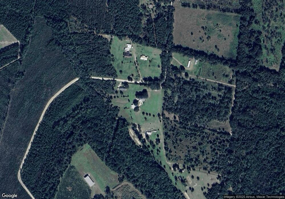
Map
Nearby Homes
- 91 Cane Cir
- 0 Riverside Rd Unit 25397127
- 0 Bachlott Church Rd Unit 25773424
- 0 Bachlott Church Rd Unit 10633876
- 0 Bachlott Church Rd Unit 1657673
- 0 Bachlott Church Rd Unit 163572
- 46 Christopher Cir
- 29 Chisholm St
- 7126 U S 301
- 537 Seward Trail
- 105 Crawford Rd
- 87 Stephen Park Rd
- 0-0 Foxwood Rd
- 0 Foxwood Rd
- 0 Caney Bay Rd
- 92 Ervin St
- 76 Ervin St
- 20.55 ACRES U S Highway 82
- 285 Heather Rd
- 23715 Knox Rd
- 711 Sylvester Dr
- 701 Sylvester Dr
- 157 Sylvester Dr
- 5814 Riverside Rd
- 0 Sylvester Dr Unit 8975722
- 0 Sylvester Dr Unit 8975716
- 275 Sylvester Dr
- 0 Sylvester Dr Unit 8887211
- 1067 Sylvester Dr
- 8363 Riverside Rd
- 6594 Riverside Rd
- 1631 Sylvester Dr
- 638 White Ford Rd
- 528 White Ford Rd
- 6230 Bachlott Church Rd
- 393 White Ford Rd
- 1824 Sylvester Dr
- 5649 Riverside Rd
- 1259 Dewey Hickox Rd
- 1347 Dewey Hickox Rd