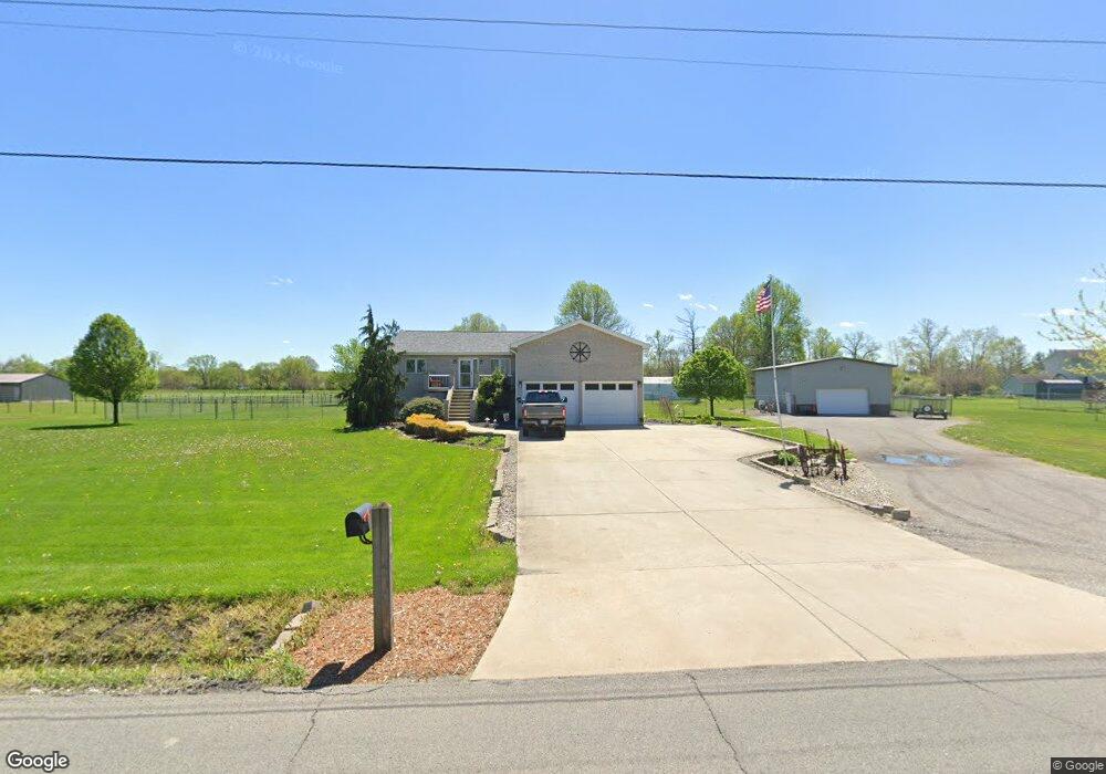
712 W 600 N Hobart, IN 46342
Estimated Value: $483,000 - $533,000
3
Beds
3
Baths
3,952
Sq Ft
$128/Sq Ft
Est. Value
About This Home
This home is located at 712 W 600 N, Hobart, IN 46342 and is currently estimated at $507,389, approximately $128 per square foot. 712 W 600 N is a home located in Porter County with nearby schools including Union Township Middle School, Wheeler High School, and Trinity Lutheran School.
Ownership History
Date
Name
Owned For
Owner Type
Purchase Details
Closed on
May 4, 2016
Sold by
John F Solconi And Sue E Solconi Living
Bought by
Springman Donna
Current Estimated Value
Purchase Details
Closed on
May 31, 2006
Sold by
Mann Eric N and Mann Marci L
Bought by
Vanvleet John F and Springman Vanvleet Melissa K
Home Financials for this Owner
Home Financials are based on the most recent Mortgage that was taken out on this home.
Original Mortgage
$200,000
Interest Rate
6.62%
Mortgage Type
Fannie Mae Freddie Mac
Create a Home Valuation Report for This Property
The Home Valuation Report is an in-depth analysis detailing your home's value as well as a comparison with similar homes in the area
Home Values in the Area
Average Home Value in this Area
Purchase History
| Date | Buyer | Sale Price | Title Company |
|---|---|---|---|
| Springman Donna | -- | None Available | |
| Vanvleet John F | -- | The Talon Group |
Source: Public Records
Mortgage History
| Date | Status | Borrower | Loan Amount |
|---|---|---|---|
| Previous Owner | Vanvleet John F | $200,000 |
Source: Public Records
Tax History Compared to Growth
Tax History
| Year | Tax Paid | Tax Assessment Tax Assessment Total Assessment is a certain percentage of the fair market value that is determined by local assessors to be the total taxable value of land and additions on the property. | Land | Improvement |
|---|---|---|---|---|
| 2024 | $4,052 | $486,900 | $46,400 | $440,500 |
| 2023 | $3,365 | $432,100 | $40,400 | $391,700 |
| 2022 | $3,268 | $403,500 | $40,400 | $363,100 |
| 2021 | $3,406 | $347,000 | $40,400 | $306,600 |
| 2020 | $3,204 | $329,700 | $35,500 | $294,200 |
| 2019 | $2,931 | $300,900 | $35,500 | $265,400 |
| 2018 | $3,036 | $290,700 | $35,500 | $255,200 |
| 2017 | $2,370 | $250,300 | $35,500 | $214,800 |
| 2016 | $2,323 | $247,100 | $36,100 | $211,000 |
| 2014 | $2,257 | $237,400 | $33,800 | $203,600 |
| 2013 | -- | $246,100 | $37,400 | $208,700 |
Source: Public Records
Map
Nearby Homes
- 736 Cinnamon Teal Ct
- 606 Merganser Dr
- 745 Pintail Ln
- N/a County Line Sr 130
- 633 W 600 N
- 679 N 700 W
- 4175 Viceroy St
- 4164 Viceroy St
- 4163 Viceroy St
- 4146 Viceroy St
- 4118 Viceroy St
- BELLAMY Plan at Bauer Farm
- HENLEY Plan at Bauer Farm
- HARMONY Plan at Bauer Farm
- 4160 Viceroy St
- 4156 Viceroy St
- 4064 Viceroy St
- 4149 Viceroy St
- 4153 Viceroy St
- 4150 Viceroy St
- 718 W 600 N
- 713 W State Road 130
- 711 W State Road 130
- 711 Indiana 130
- 706 W 600 N
- 717 W State Road 130
- 713 Indiana 130
- 721 W State Road 130
- 721 W State Road 130 Unit 1
- 714 Cinnamon Teal Ct
- 698 W 600 N
- 716 Cinnamon Teal Ct
- 706 Pintail Ln
- 708 Pintail Ln
- 704 Pintail Ln
- 718 Cinnamon Teal Ct
- 710 Pintail Ln
- 696 W 600 N
- 702 Pintail Ln
- 712 Pintail Ln