712 W Austin Rd Spokane, WA 99208
Dartford NeighborhoodEstimated Value: $500,000 - $656,570
2
Beds
1
Bath
1,344
Sq Ft
$404/Sq Ft
Est. Value
About This Home
This home is located at 712 W Austin Rd, Spokane, WA 99208 and is currently estimated at $543,143, approximately $404 per square foot. 712 W Austin Rd is a home located in Spokane County with nearby schools including Brentwood Elementary School, Northwood Middle School, and Mead Senior High School.
Ownership History
Date
Name
Owned For
Owner Type
Purchase Details
Closed on
Jun 10, 2025
Sold by
Tipke Living Trust and Tipke Billy Wade
Bought by
Anderson Jacob Kyle and Anderson Shanna
Current Estimated Value
Home Financials for this Owner
Home Financials are based on the most recent Mortgage that was taken out on this home.
Original Mortgage
$316,000
Outstanding Balance
$315,181
Interest Rate
6.76%
Mortgage Type
New Conventional
Estimated Equity
$227,962
Purchase Details
Closed on
Jul 26, 2007
Sold by
Tipke Ronald L and Tipke Sheila A
Bought by
Tipke Ronald L and Tipke Shiela A
Create a Home Valuation Report for This Property
The Home Valuation Report is an in-depth analysis detailing your home's value as well as a comparison with similar homes in the area
Home Values in the Area
Average Home Value in this Area
Purchase History
| Date | Buyer | Sale Price | Title Company |
|---|---|---|---|
| Anderson Jacob Kyle | $510,000 | Wfg National Title | |
| Tipke Ronald L | -- | None Available |
Source: Public Records
Mortgage History
| Date | Status | Borrower | Loan Amount |
|---|---|---|---|
| Open | Anderson Jacob Kyle | $316,000 |
Source: Public Records
Tax History Compared to Growth
Tax History
| Year | Tax Paid | Tax Assessment Tax Assessment Total Assessment is a certain percentage of the fair market value that is determined by local assessors to be the total taxable value of land and additions on the property. | Land | Improvement |
|---|---|---|---|---|
| 2025 | $4,096 | $414,130 | $179,430 | $234,700 |
| 2024 | $4,096 | $401,490 | $169,090 | $232,400 |
| 2023 | $3,808 | $407,790 | $167,290 | $240,500 |
| 2022 | $3,317 | $415,790 | $167,290 | $248,500 |
| 2021 | $2,932 | $274,640 | $78,940 | $195,700 |
| 2020 | $2,918 | $259,340 | $78,940 | $180,400 |
| 2019 | $2,780 | $251,020 | $89,920 | $161,100 |
| 2018 | $2,966 | $224,740 | $69,540 | $155,200 |
| 2017 | $2,830 | $215,940 | $69,540 | $146,400 |
| 2016 | $2,760 | $206,140 | $68,940 | $137,200 |
| 2015 | $2,460 | $188,600 | $66,700 | $121,900 |
| 2014 | -- | $186,860 | $64,960 | $121,900 |
| 2013 | -- | $0 | $0 | $0 |
Source: Public Records
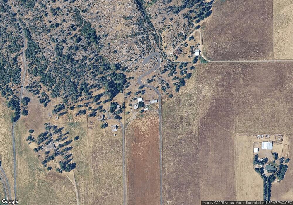
Map
Nearby Homes
- 16805 N Mayfair Dr Unit 16807
- 513 E Timberwood Cir
- 421 E Glencrest Dr
- 15314 N Gleneden St
- 212 E Pine Needle Ave
- 16920 N Woodcrest Ct
- 612 E Wellington Dr
- 510 E Golden Eagle Ln
- 622 E Country Hill Ln
- 212XX N Division Rd
- 14512 N Dartford Dr
- 15709 N Glencrest Ct
- 15116 N Edencrest Dr
- 16520 N Cincinnati Ct
- 513 E Silver Pines Ct
- 15308 N Edencrest Dr
- 27 E Trevor Rd
- 811 E Tudor Ct
- 201 E Trevor Rd
- 17604 N Addison St
- 814 W Austin Rd
- 928 W Austin Rd
- 0001 W Austin Rd
- 1313 W Austin Rd
- 1317 W Austin Rd
- 1315 W Austin Rd
- 1311 W Austin Rd
- 1319 W Austin Rd
- 200 W Austin Rd
- 1100 W Austin Rd
- 326 W Austin Rd
- 1400 W Austin Rd
- 8XX W Austin Rd
- 711 W Austin Rd
- 320 W Austin Rd
- 322 W Austin Rd
- 1106 W Austin Rd
- 1108 W Austin Rd
- 1122 W Austin Rd
- 915 W Austin Rd