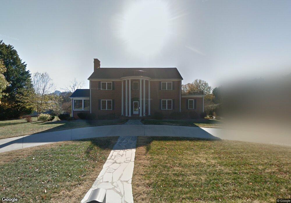
712 W Main St Unit STW Pilot Mountain, NC 27041
Estimated Value: $362,000 - $504,000
4
Beds
4
Baths
3,453
Sq Ft
$125/Sq Ft
Est. Value
About This Home
This home is located at 712 W Main St Unit STW, Pilot Mountain, NC 27041 and is currently estimated at $431,306, approximately $124 per square foot. 712 W Main St Unit STW is a home located in Surry County with nearby schools including Pilot Mountain Elementary School, Pilot Mountain Middle School, and East Surry High School.
Ownership History
Date
Name
Owned For
Owner Type
Purchase Details
Closed on
Sep 21, 2007
Sold by
Gammons Teresa Dawn
Bought by
Holshouser Curtis F and Holshouser Susan K
Current Estimated Value
Home Financials for this Owner
Home Financials are based on the most recent Mortgage that was taken out on this home.
Original Mortgage
$131,640
Outstanding Balance
$86,517
Interest Rate
6.57%
Mortgage Type
Construction
Estimated Equity
$344,789
Purchase Details
Closed on
May 2, 2005
Sold by
Gammons Victor Dean
Bought by
Gammons Teresa Dawn
Purchase Details
Closed on
Dec 1, 2004
Purchase Details
Closed on
Jun 1, 1988
Create a Home Valuation Report for This Property
The Home Valuation Report is an in-depth analysis detailing your home's value as well as a comparison with similar homes in the area
Home Values in the Area
Average Home Value in this Area
Purchase History
| Date | Buyer | Sale Price | Title Company |
|---|---|---|---|
| Holshouser Curtis F | $275,000 | None Available | |
| Gammons Teresa Dawn | -- | None Available | |
| -- | -- | -- | |
| -- | -- | -- | |
| -- | $130,000 | -- |
Source: Public Records
Mortgage History
| Date | Status | Borrower | Loan Amount |
|---|---|---|---|
| Open | Holshouser Curtis F | $131,640 |
Source: Public Records
Tax History Compared to Growth
Tax History
| Year | Tax Paid | Tax Assessment Tax Assessment Total Assessment is a certain percentage of the fair market value that is determined by local assessors to be the total taxable value of land and additions on the property. | Land | Improvement |
|---|---|---|---|---|
| 2025 | $4,395 | $389,050 | $33,800 | $355,250 |
| 2024 | $3,347 | $284,430 | $33,800 | $250,630 |
| 2023 | $3,283 | $284,430 | $33,800 | $250,630 |
| 2022 | $3,283 | $284,430 | $33,800 | $250,630 |
| 2021 | $3,347 | $284,430 | $33,800 | $250,630 |
| 2020 | $3,145 | $265,490 | $33,800 | $231,690 |
| 2019 | $3,142 | $260,070 | $33,800 | $226,270 |
| 2018 | $3,082 | $260,070 | $0 | $0 |
| 2017 | $3,139 | $260,070 | $0 | $0 |
| 2016 | $3,139 | $260,070 | $0 | $0 |
| 2013 | -- | $263,950 | $0 | $0 |
Source: Public Records
Map
Nearby Homes
- 267 S Boyles St
- 710 Saddle Dr
- 273 S Boyles St
- 205 S Key St
- 950 Dodson Mill Rd
- o N Carolina 268
- 502 S Key St
- 225 E Main St
- 0 Heatherly Creek Dr
- TBD S Key St
- 204 Nelson St
- 0 S Key St
- 205 Crestwood Dr
- 528 E Main St
- TBD Golf Course Rd
- 624 E 52 Bypass
- 00 Whitaker Chapel Rd Unit 2
- 00 Whitaker Chapel Rd Unit 1
- 00 Whitaker Chapel Rd Unit 10
- 00 Golf Course Rd
- 718 W Main St Unit STW
- 722 W Main St
- 707 W Main St
- 707 Sunset Dr
- 105 Lynchburg Rd
- 703 W Main St
- 109 Lynchburg Rd
- 105 Old Westfield Rd
- 113 Lynchburg Rd
- 711 Sunset Dr
- 730 W Main St
- 614 W Main St
- 109 Fiddlers Trail
- 610 W Main St Unit STW
- 715 Sunset Dr
- 205 Old Westfield Rd
- 887 Simmons St
- 886 Simmons St
- 608 W Main St Unit STW
- 710 Sunset Dr