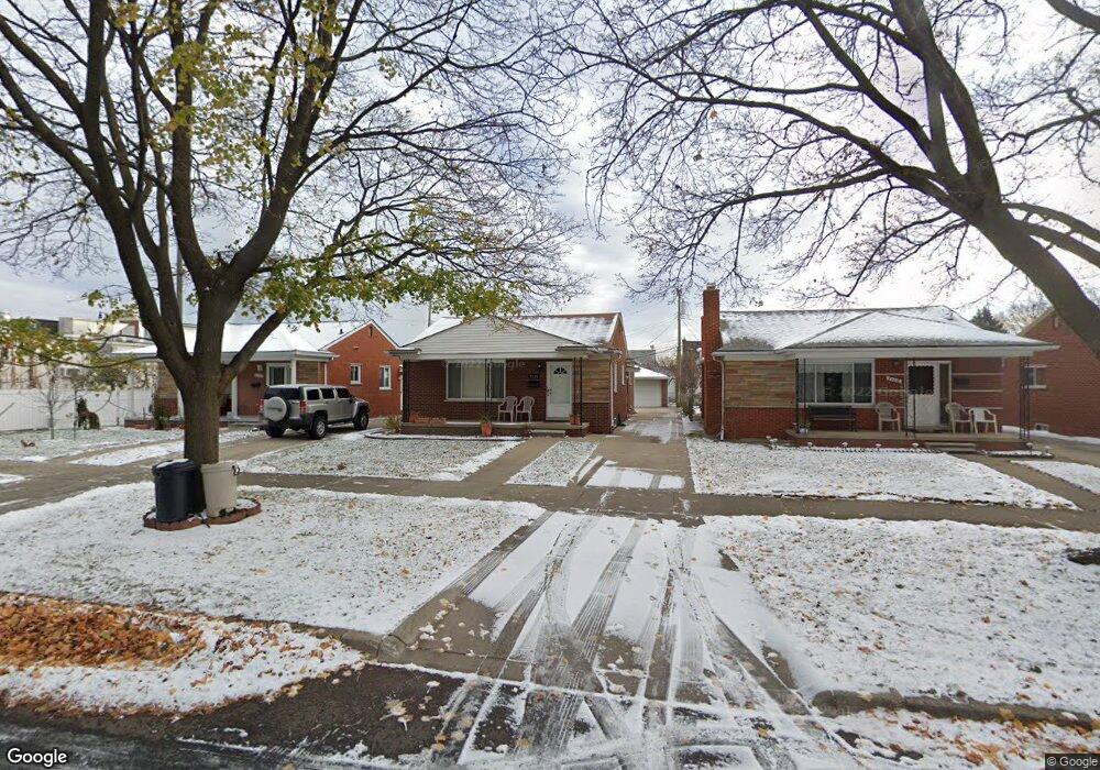
7120 Maple St Dearborn, MI 48126
Fordson NeighborhoodEstimated Value: $223,000 - $293,000
3
Beds
1
Bath
1,118
Sq Ft
$227/Sq Ft
Est. Value
About This Home
This home is located at 7120 Maple St, Dearborn, MI 48126 and is currently estimated at $253,816, approximately $227 per square foot. 7120 Maple St is a home located in Wayne County with nearby schools including Lowrey School, Lowrey Middle School, and Fordson High School.
Ownership History
Date
Name
Owned For
Owner Type
Purchase Details
Closed on
Aug 2, 2002
Sold by
Kobeissi Jamela
Bought by
Kobeissi Banine
Current Estimated Value
Purchase Details
Closed on
Feb 25, 2002
Sold by
Abn Amro Mtg Group Inc
Bought by
Federal Home Loan Mortgage Corporation
Purchase Details
Closed on
Jan 9, 2002
Sold by
Kobeissi Jamela
Bought by
Abn Amro Mtg Group Inc
Purchase Details
Closed on
May 10, 1998
Sold by
Kobiessi Banine
Bought by
Kobiessi Jamela
Create a Home Valuation Report for This Property
The Home Valuation Report is an in-depth analysis detailing your home's value as well as a comparison with similar homes in the area
Home Values in the Area
Average Home Value in this Area
Purchase History
| Date | Buyer | Sale Price | Title Company |
|---|---|---|---|
| Kobeissi Banine | $168,000 | Professional Real Estate Tit | |
| Federal Home Loan Mortgage Corporation | -- | -- | |
| Abn Amro Mtg Group Inc | $131,236 | -- | |
| Kobiessi Jamela | -- | -- |
Source: Public Records
Tax History
| Year | Tax Paid | Tax Assessment Tax Assessment Total Assessment is a certain percentage of the fair market value that is determined by local assessors to be the total taxable value of land and additions on the property. | Land | Improvement |
|---|---|---|---|---|
| 2025 | $2,166 | $130,200 | $0 | $0 |
| 2024 | $2,119 | $119,500 | $0 | $0 |
| 2023 | $2,005 | $96,800 | $0 | $0 |
| 2022 | $2,256 | $78,300 | $0 | $0 |
| 2021 | $2,622 | $68,000 | $0 | $0 |
| 2019 | $2,595 | $65,100 | $0 | $0 |
| 2018 | $2,201 | $56,800 | $0 | $0 |
| 2017 | $631 | $50,200 | $0 | $0 |
| 2016 | $2,057 | $46,700 | $0 | $0 |
| 2015 | $3,886 | $42,700 | $0 | $0 |
| 2013 | $3,765 | $37,650 | $0 | $0 |
| 2011 | -- | $41,400 | $0 | $0 |
Source: Public Records
Map
Nearby Homes
- 7241 Middlesex St
- 7247 Middlesex St
- 7517 Horger St
- 7449 Williamson St
- 7813 Neckel St
- 7308 Orchard Ave
- 6413 Calhoun St
- 7705 Anthony St
- 7750 Morross Ct
- 7524 Hartwell St
- 7857 Esper Blvd
- 6417 Kendal St
- 7758 Reuter St
- 7927 Bingham St
- 8029 Hartwell St
- 7401 Steadman St
- 7639 Ternes St
- 8042 Hartwell St
- 7658 Appoline St
- 6019 Maple St
- 7112 Maple St
- 7130 Maple St
- 7104 Maple St
- 13733 W Warren Ave Unit 13727 Business
- 7056 Maple St
- 7121 Neckel St
- 7129 Neckel St
- 7113 Neckel St
- 7050 Maple St
- 7103 Neckel St
- 7055 Neckel St
- 13731 W Warren Ave
- 7040 Maple St
- 13701 W Warren Ave
- 7039 Neckel St
- 7032 Maple St
- 0 Warren Unit 5580137
- 0 Warren Unit 217032684
- 7031 Neckel St
- 7016 Maple St
Your Personal Tour Guide
Ask me questions while you tour the home.