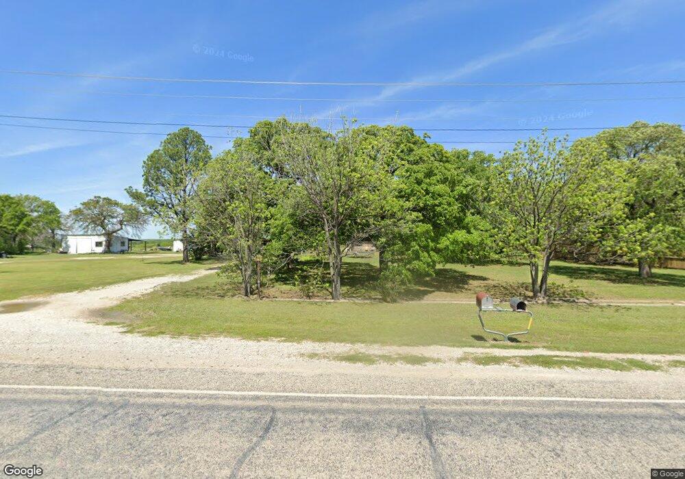
7120 W Interstate 20 Weatherford, TX 76088
Estimated Value: $344,318 - $488,000
--
Bed
--
Bath
1,977
Sq Ft
$213/Sq Ft
Est. Value
About This Home
This home is located at 7120 W Interstate 20, Weatherford, TX 76088 and is currently estimated at $422,080, approximately $213 per square foot. 7120 W Interstate 20 is a home located in Parker County with nearby schools including Brock Intermediate School, Brock Junior High School, and Brock High School.
Ownership History
Date
Name
Owned For
Owner Type
Purchase Details
Closed on
Aug 1, 2007
Sold by
Aames Home Loan
Bought by
Valentine Cliff
Current Estimated Value
Purchase Details
Closed on
Jun 25, 2007
Sold by
King Farris A and King Nancy K
Bought by
Valentine Cliff
Purchase Details
Closed on
Jun 5, 2007
Sold by
King Farris A and King Nancy K
Bought by
Aames Home Loan
Purchase Details
Closed on
Aug 3, 1999
Bought by
Valentine Cliff
Purchase Details
Closed on
Dec 28, 1993
Bought by
Valentine Cliff
Purchase Details
Closed on
Jan 1, 1901
Bought by
Valentine Cliff
Create a Home Valuation Report for This Property
The Home Valuation Report is an in-depth analysis detailing your home's value as well as a comparison with similar homes in the area
Home Values in the Area
Average Home Value in this Area
Purchase History
| Date | Buyer | Sale Price | Title Company |
|---|---|---|---|
| Valentine Cliff | -- | First American Title Co | |
| Valentine Cliff | -- | -- | |
| Aames Home Loan | $123,935 | None Available | |
| Valentine Cliff | -- | -- | |
| Valentine Cliff | -- | -- | |
| Valentine Cliff | -- | -- |
Source: Public Records
Tax History Compared to Growth
Tax History
| Year | Tax Paid | Tax Assessment Tax Assessment Total Assessment is a certain percentage of the fair market value that is determined by local assessors to be the total taxable value of land and additions on the property. | Land | Improvement |
|---|---|---|---|---|
| 2025 | $881 | $190,744 | -- | -- |
| 2024 | $881 | $173,404 | -- | -- |
| 2023 | $881 | $157,640 | $0 | $0 |
| 2022 | $2,909 | $205,220 | $173,740 | $31,480 |
| 2021 | $1,976 | $131,600 | $100,120 | $31,480 |
| 2020 | $1,821 | $91,190 | $62,460 | $28,730 |
| 2019 | $1,783 | $91,190 | $62,460 | $28,730 |
| 2018 | $1,628 | $76,390 | $43,740 | $32,650 |
| 2017 | $1,454 | $76,390 | $43,740 | $32,650 |
| 2016 | $1,322 | $57,470 | $34,760 | $22,710 |
| 2015 | $532 | $40,600 | $17,890 | $22,710 |
| 2014 | $647 | $38,440 | $16,800 | $21,640 |
Source: Public Records
Map
Nearby Homes
- 7530 W Interstate 20
- XXXX Wolf Hollow
- 181 Savannah Dr
- 169 Savannah Dr
- 401 Brock Spur
- TBD Wolf Hollow
- 3810 Fairview Rd
- 251 Tumbleweed Ct
- 3200 Fairview Rd
- 4000 Luciano Dr
- 3036 Palermo Dr
- 1700 Fm 1189
- 555 Sunset Trail
- 2710 Fairview Rd
- 2053 Verona Dr
- 2007 Verona Dr
- 2026 Verona Dr
- 2030 Verona Dr
- 2004 Verona Dr
- 2042 Verona Dr
- 7100 W Interstate 20
- 7100 W Ih 20
- 7000 W Interstate 20
- 7452 W Interstate 20
- 7452 W Interstate 20 Service Rd
- 7123 Quanah Hill Rd
- 7245 Quanah Hill Rd
- 7025 Quanah Hill Rd
- 0 Tbd Fairview Rd Unit 20198179
- 0 Tbd Fairview Rd Unit 20189482
- 000a Brock Ln
- 106 Millsap Ct
- 7415 Quanah Hill Rd
- 7500 W Interstate 20
- 4899 Fairview Rd
- 0 Wolf Hollow Unit 11068012
- 280 Brock Spur
- 300 Brock Spur
- 6819 Quanah Hill Rd
- 6819 Quanah Hill Rd