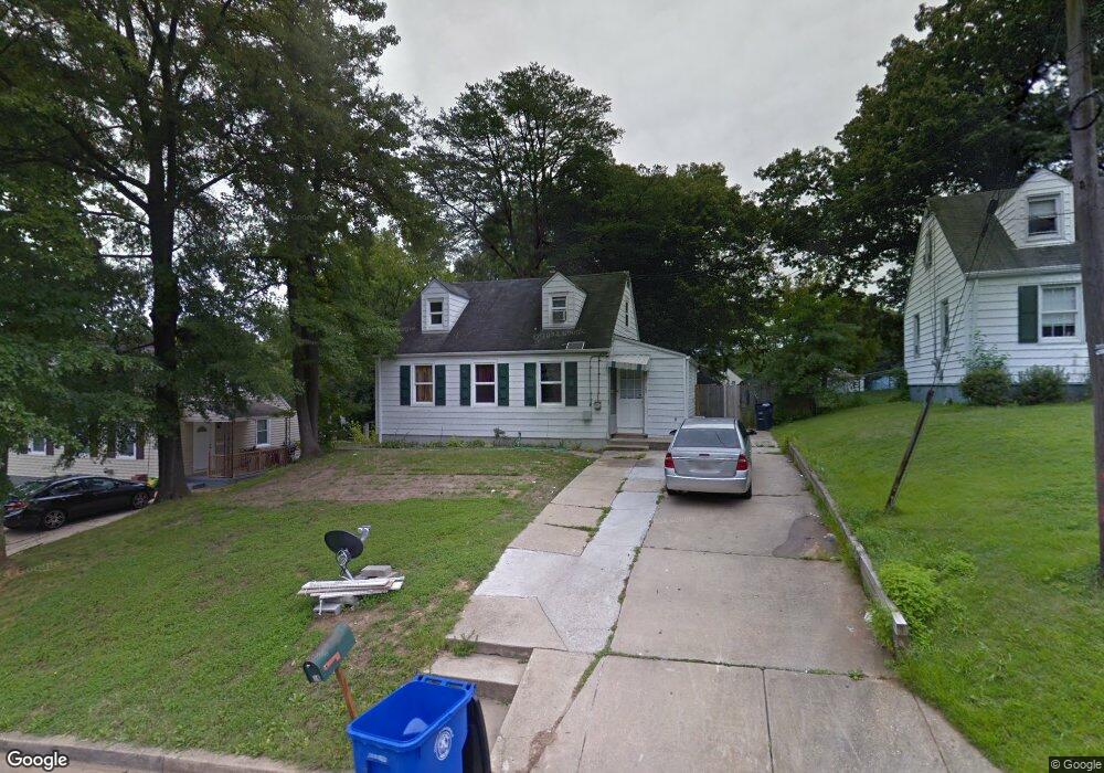
7123 Varnum St Hyattsville, MD 20784
Estimated Value: $352,000 - $383,000
--
Bed
1
Bath
1,226
Sq Ft
$301/Sq Ft
Est. Value
About This Home
This home is located at 7123 Varnum St, Hyattsville, MD 20784 and is currently estimated at $369,408, approximately $301 per square foot. 7123 Varnum St is a home located in Prince George's County with nearby schools including Judge Sylvania W. Woods Senior Elementary School, Charles Carroll Middle School, and Parkdale High School.
Ownership History
Date
Name
Owned For
Owner Type
Purchase Details
Closed on
Sep 15, 2005
Sold by
Jones Richard E
Bought by
Martinez Cesar A
Current Estimated Value
Home Financials for this Owner
Home Financials are based on the most recent Mortgage that was taken out on this home.
Original Mortgage
$242,500
Outstanding Balance
$127,200
Interest Rate
5.54%
Mortgage Type
New Conventional
Estimated Equity
$242,208
Purchase Details
Closed on
Jul 3, 1975
Sold by
Jones Richard E
Bought by
Jones Richard E
Create a Home Valuation Report for This Property
The Home Valuation Report is an in-depth analysis detailing your home's value as well as a comparison with similar homes in the area
Home Values in the Area
Average Home Value in this Area
Purchase History
| Date | Buyer | Sale Price | Title Company |
|---|---|---|---|
| Martinez Cesar A | $250,000 | -- | |
| Jones Richard E | $7,000 | -- |
Source: Public Records
Mortgage History
| Date | Status | Borrower | Loan Amount |
|---|---|---|---|
| Open | Martinez Cesar A | $242,500 |
Source: Public Records
Tax History Compared to Growth
Tax History
| Year | Tax Paid | Tax Assessment Tax Assessment Total Assessment is a certain percentage of the fair market value that is determined by local assessors to be the total taxable value of land and additions on the property. | Land | Improvement |
|---|---|---|---|---|
| 2025 | $5,867 | $301,467 | -- | -- |
| 2024 | $5,867 | $284,933 | $0 | $0 |
| 2023 | $5,560 | $268,400 | $75,600 | $192,800 |
| 2022 | $5,309 | $257,300 | $0 | $0 |
| 2021 | $5,098 | $246,200 | $0 | $0 |
| 2020 | $4,881 | $235,100 | $70,300 | $164,800 |
| 2019 | $4,498 | $214,167 | $0 | $0 |
| 2018 | $4,084 | $193,233 | $0 | $0 |
| 2017 | $3,656 | $172,300 | $0 | $0 |
| 2016 | -- | $162,867 | $0 | $0 |
| 2015 | $3,483 | $153,433 | $0 | $0 |
| 2014 | $3,483 | $144,000 | $0 | $0 |
Source: Public Records
Map
Nearby Homes
- 7020 Taylor Terrace
- 4206 74th Place
- 3815 71st Ave
- 4901 70th Place
- 5104 72nd Ave
- 6909 Standish Dr
- 4714 Glenoak Rd
- 7003 Fairwood Rd
- 6727 Eldridge St
- 6719 Darby Rd
- 6811 Shepherd St
- 6819 Buchanan St
- 4709 68th Ave
- 3732 Ingalls Ave
- 7712 Frederick Rd
- 3708 Cooper Ln
- 6606 Landing Way
- 6709 Stanton Rd
- 6716 Stockton Ln
- 4803 Stockton Ln
- 7125 Varnum St
- 7121 Varnum St
- 7119 Varnum St
- 7127 Varnum St
- 4215 71st Ave
- 4214 72nd Ave
- 4211 71st Ave
- 7122 Varnum St
- 7117 Varnum St
- 4217 71st Ave
- 4213 71st Ave
- 4212 72nd Ave
- 7120 Varnum St
- 4400 72nd Ave
- 7118 Varnum St
- 4210 72nd Ave
- 4209 71st Ave
- 7115 Varnum St
- 4402 72nd Ave
- 4221 71st Ave Unit Basement