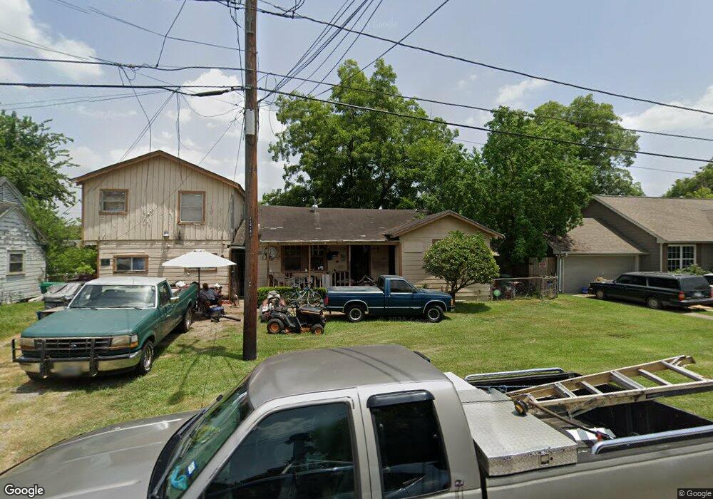
7125 Eastwood St Houston, TX 77021
OST-South Union NeighborhoodEstimated Value: $168,101 - $415,000
5
Beds
2
Baths
2,916
Sq Ft
$87/Sq Ft
Est. Value
About This Home
This home is located at 7125 Eastwood St, Houston, TX 77021 and is currently estimated at $253,775, approximately $87 per square foot. 7125 Eastwood St is a home located in Harris County with nearby schools including Marcellus Elliot Foster Elementary, Cullen Middle School, and Yates High School.
Ownership History
Date
Name
Owned For
Owner Type
Purchase Details
Closed on
Nov 21, 2018
Sold by
Lastrapes John
Bought by
Lastrapes James
Current Estimated Value
Purchase Details
Closed on
Dec 2, 2011
Sold by
Lastrapes James
Bought by
Lastrapes John
Purchase Details
Closed on
Jul 26, 2004
Sold by
Dotson Thomas Henry
Bought by
Thorne Edmond
Purchase Details
Closed on
Feb 19, 2004
Sold by
Dotson Thomas Henry
Bought by
Harris County
Create a Home Valuation Report for This Property
The Home Valuation Report is an in-depth analysis detailing your home's value as well as a comparison with similar homes in the area
Home Values in the Area
Average Home Value in this Area
Purchase History
| Date | Buyer | Sale Price | Title Company |
|---|---|---|---|
| Lastrapes James | -- | None Available | |
| Lastrapes John | -- | American Title Company | |
| Lastrapes James | -- | American Title Company | |
| Thorne Edmond | $26,000 | -- | |
| Harris County | -- | -- |
Source: Public Records
Tax History Compared to Growth
Tax History
| Year | Tax Paid | Tax Assessment Tax Assessment Total Assessment is a certain percentage of the fair market value that is determined by local assessors to be the total taxable value of land and additions on the property. | Land | Improvement |
|---|---|---|---|---|
| 2025 | $2,527 | $175,045 | $128,750 | $46,295 |
| 2024 | $2,527 | $175,700 | $128,750 | $46,950 |
| 2023 | $2,527 | $192,612 | $115,875 | $76,737 |
| 2022 | $3,755 | $170,516 | $90,125 | $80,391 |
| 2021 | $2,415 | $140,294 | $57,938 | $82,356 |
| 2020 | $2,282 | $94,216 | $38,625 | $55,591 |
| 2019 | $2,221 | $87,779 | $32,188 | $55,591 |
| 2018 | $1,827 | $72,210 | $22,531 | $49,679 |
| 2017 | $1,475 | $58,352 | $16,094 | $42,258 |
| 2016 | $1,475 | $58,352 | $16,094 | $42,258 |
| 2015 | $1,332 | $51,137 | $16,094 | $35,043 |
| 2014 | $1,332 | $51,814 | $16,094 | $35,720 |
Source: Public Records
Map
Nearby Homes
- 7130 Eastwood St
- 7129 Foster St
- 7131 Eastwood St Unit A
- 7131 Eastwood St Unit C
- 7107 Foster St Unit A
- 7127 England St
- 7129 England St
- 7125 England St
- 7117 England St Unit C
- 7117 England St Unit A
- 7117 England St Unit B
- 7115 England St Unit A
- 7115 England St Unit B
- 4407 Alice St
- 6910 Cullen Blvd Unit 1
- 7210 England St
- 0 New York Ave
- 7241 England St
- 6946 Paris St Unit B
- 7226 England St
- 7129 Eastwood St
- 7119 Eastwood St
- 7128 Cullen Blvd
- 7131 Eastwood St
- 7132 Eastwood St
- 7132 Eastwood St Unit C
- 7132 Eastwood St Unit B
- 7132 Eastwood St Unit A
- 7113 Eastwood St
- 7126 Eastwood St
- 7134 Eastwood St Unit C
- 7120 Eastwood St
- 7135 Eastwood St
- 7105 Eastwood St
- 7136 Eastwood St
- 7136 Eastwood St Unit A
- 7112 Eastwood St
- 7123 Foster St
- 7117 Foster St
- 7129 Foster St