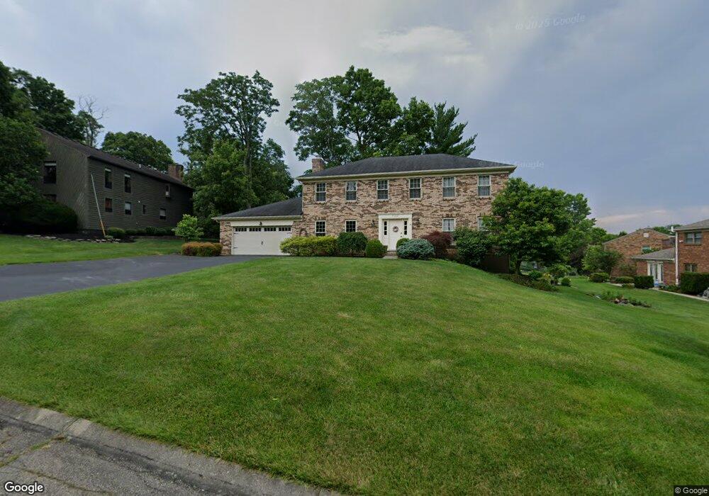
7125 Walnutwood Dr Cincinnati, OH 45241
West Chester Township NeighborhoodEstimated Value: $442,000 - $481,000
4
Beds
3
Baths
2,892
Sq Ft
$159/Sq Ft
Est. Value
About This Home
This home is located at 7125 Walnutwood Dr, Cincinnati, OH 45241 and is currently estimated at $461,149, approximately $159 per square foot. 7125 Walnutwood Dr is a home located in Butler County with nearby schools including Adena Elementary School, Lakota Ridge Junior School, and Lakota West High School.
Ownership History
Date
Name
Owned For
Owner Type
Purchase Details
Closed on
May 14, 2021
Sold by
Burgin Joshua K and Burgin Katie E
Bought by
Smith Gary Richard and Smith Desma Kay
Current Estimated Value
Purchase Details
Closed on
Apr 30, 2010
Sold by
Kriner Lon S and Kriner Helene B
Bought by
Burgin Joshua K and Burgin Katie E
Home Financials for this Owner
Home Financials are based on the most recent Mortgage that was taken out on this home.
Original Mortgage
$216,015
Interest Rate
5.02%
Mortgage Type
FHA
Purchase Details
Closed on
Aug 1, 1985
Create a Home Valuation Report for This Property
The Home Valuation Report is an in-depth analysis detailing your home's value as well as a comparison with similar homes in the area
Home Values in the Area
Average Home Value in this Area
Purchase History
| Date | Buyer | Sale Price | Title Company |
|---|---|---|---|
| Smith Gary Richard | $336,000 | Buckeye Land Title | |
| Smith Gary Richard | $336,000 | Buckeye Land Title | |
| Burgin Joshua K | $220,000 | Attorney | |
| -- | $127,000 | -- |
Source: Public Records
Mortgage History
| Date | Status | Borrower | Loan Amount |
|---|---|---|---|
| Previous Owner | Burgin Joshua K | $216,015 |
Source: Public Records
Tax History Compared to Growth
Tax History
| Year | Tax Paid | Tax Assessment Tax Assessment Total Assessment is a certain percentage of the fair market value that is determined by local assessors to be the total taxable value of land and additions on the property. | Land | Improvement |
|---|---|---|---|---|
| 2024 | $5,119 | $121,050 | $20,340 | $100,710 |
| 2023 | $5,082 | $133,230 | $20,340 | $112,890 |
| 2022 | $4,859 | $85,570 | $20,340 | $65,230 |
| 2021 | $4,351 | $82,470 | $20,340 | $62,130 |
| 2020 | $4,454 | $82,470 | $20,340 | $62,130 |
| 2019 | $7,153 | $74,640 | $19,440 | $55,200 |
| 2018 | $4,228 | $74,640 | $19,440 | $55,200 |
| 2017 | $4,290 | $74,640 | $19,440 | $55,200 |
| 2016 | $4,569 | $74,640 | $19,440 | $55,200 |
| 2015 | $4,563 | $74,640 | $19,440 | $55,200 |
| 2014 | $4,458 | $74,640 | $19,440 | $55,200 |
| 2013 | $4,458 | $70,890 | $19,440 | $51,450 |
Source: Public Records
Map
Nearby Homes
- 7089 Windwood Dr
- 6779 Windwood Dr
- 9843 Tall Timber Dr
- 9647 Friar Tuck Dr
- 12160 Village Woods Dr
- 12108 Village Woods Dr
- 7327 Dimmick Rd
- 10155 Golay Ave
- 9750 Cincinnati Columbus Rd
- 6605 San Mateo Dr
- 5172 Londonderry Dr
- 9712 Lupine Dr
- 11960 Big Ben Ct
- 12080 Thames Place
- 5375 Dickens Dr
- 3875 Hauck Rd
- 6612 Pullman Ct
- 6592 Pullman Ct
- 9447 Eastbrook Dr
- 5725 Sovereign Dr
- 7135 Walnutwood Dr
- 10002 Honeywood Dr
- 10012 Honeywood Dr
- 7145 Walnutwood Dr
- 7132 Walnutwood Dr
- 10022 Honeywood Dr
- 10045 Sprucewood Ln
- 7155 Walnutwood Dr
- 9976 Honeywood Dr
- 7142 Walnutwood Dr
- 10027 Honeywood Dr
- 10053 Sprucewood Ln
- 7124 Butterwood Dr
- 7152 Walnutwood Dr
- 10032 Honeywood Dr
- 7114 Butterwood Dr
- 7134 Butterwood Dr
- 10048 Sprucewood Ln
- 7165 Walnutwood Dr
- 9981 Honeywood Dr