Estimated Value: $1,017,000 - $1,710,566
4
Beds
3
Baths
3,636
Sq Ft
$349/Sq Ft
Est. Value
About This Home
This home is located at 71267 Dawn Dr, Union, MI 49130 and is currently estimated at $1,270,142, approximately $349 per square foot. 71267 Dawn Dr is a home located in Cass County with nearby schools including White Pigeon Junior/Senior High School, Central Elementary School, and Kessington Christian School.
Ownership History
Date
Name
Owned For
Owner Type
Purchase Details
Closed on
Nov 17, 2020
Sold by
Bessinger Edward and Bessinger Mary
Bought by
Young Anthony N and Young Andrea M
Current Estimated Value
Home Financials for this Owner
Home Financials are based on the most recent Mortgage that was taken out on this home.
Original Mortgage
$640,000
Outstanding Balance
$569,509
Interest Rate
2.8%
Mortgage Type
New Conventional
Estimated Equity
$700,633
Purchase Details
Closed on
Sep 26, 2018
Sold by
Bessinger Edward and Bessinger Mary
Bought by
Bessinger Edward and Bessinger Mary
Create a Home Valuation Report for This Property
The Home Valuation Report is an in-depth analysis detailing your home's value as well as a comparison with similar homes in the area
Purchase History
| Date | Buyer | Sale Price | Title Company |
|---|---|---|---|
| Young Anthony N | $800,000 | Fidelity National Ttl Co Llc | |
| Bessinger Edward | -- | Fidelity National Ttl Co Llc | |
| Bessinger Edward | -- | None Available |
Source: Public Records
Mortgage History
| Date | Status | Borrower | Loan Amount |
|---|---|---|---|
| Open | Bessinger Edward | $640,000 |
Source: Public Records
Tax History
| Year | Tax Paid | Tax Assessment Tax Assessment Total Assessment is a certain percentage of the fair market value that is determined by local assessors to be the total taxable value of land and additions on the property. | Land | Improvement |
|---|---|---|---|---|
| 2025 | $10,167 | $756,700 | $756,700 | $0 |
| 2024 | $4,189 | $562,900 | $562,900 | $0 |
| 2023 | $3,995 | $456,700 | $0 | $0 |
| 2022 | $3,805 | $399,900 | $0 | $0 |
| 2021 | $9,186 | $345,000 | $0 | $0 |
| 2020 | $6,459 | $329,300 | $0 | $0 |
| 2019 | $6,264 | $309,800 | $0 | $0 |
| 2018 | $2,492 | $248,600 | $0 | $0 |
| 2017 | $2,441 | $279,400 | $0 | $0 |
| 2016 | $2,419 | $284,200 | $0 | $0 |
| 2015 | -- | $249,900 | $0 | $0 |
| 2011 | -- | $236,200 | $0 | $0 |
Source: Public Records
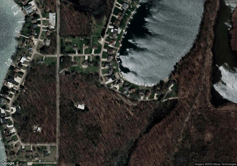
Map
Nearby Homes
- 70855 Wayne St
- 70877 Sunset Blvd
- 70749 Sunset Blvd
- 70619 Sunset Blvd
- 70855 Hollywood Shores Dr
- 50774 Teall Rd
- 50764 Stella Ct
- 70104 Treasure Island Rd
- 69951 Sunset Blvd
- 69909 Sunset Blvd
- 69907 Sunset Blvd
- 13233 Pleasant Dr
- 69639 Shady Ln
- 0 Parcel B Sunset Blvd
- 51293 Antone Rd
- 69692 Oak St
- 69465 High St
- 52176 County Road 21
- 0 County Road 25
- 0 Crussmeyer Dr
Your Personal Tour Guide
Ask me questions while you tour the home.