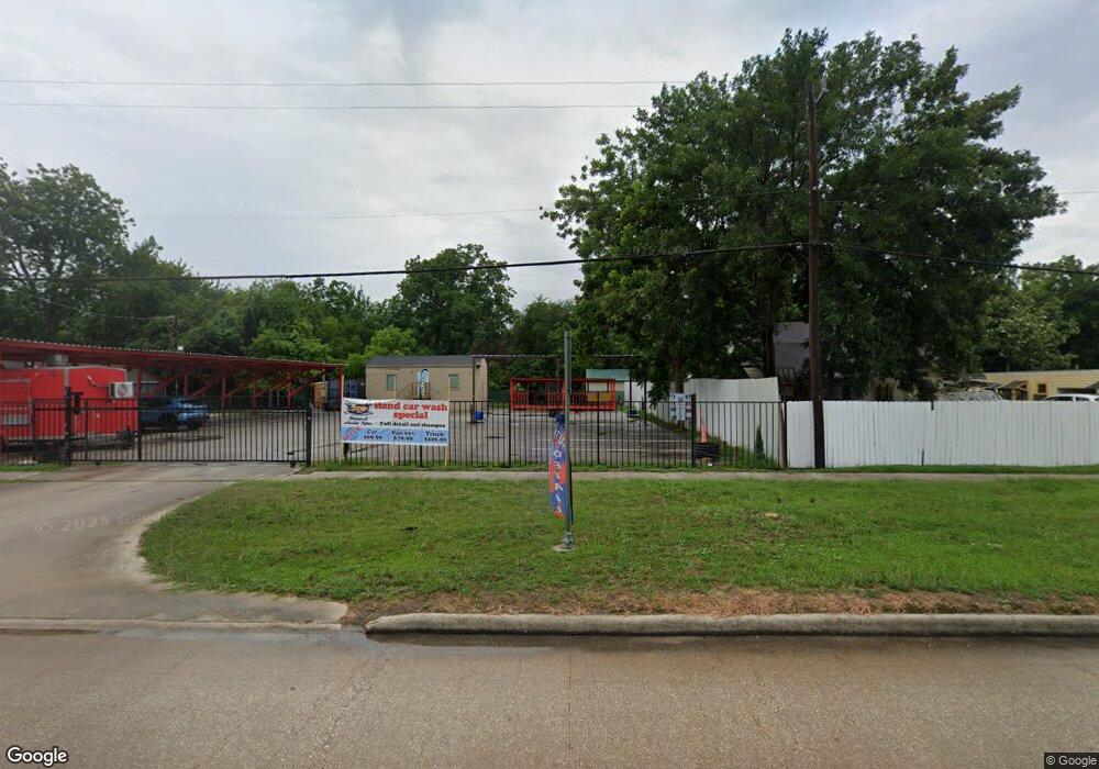
7127 N Shepherd Dr Houston, TX 77091
Acres Homes Neighborhood
--
Bed
--
Bath
--
Sq Ft
10,454
Sq Ft Lot
About This Home
This home is located at 7127 N Shepherd Dr, Houston, TX 77091. 7127 N Shepherd Dr is a home located in Harris County with nearby schools including Wesley Elementary School, Williams Middle, and Booker T Washington Sr High.
Ownership History
Date
Name
Owned For
Owner Type
Purchase Details
Closed on
Apr 25, 2019
Sold by
Samhat Esa
Bought by
Zenisa Investments Llc
Home Financials for this Owner
Home Financials are based on the most recent Mortgage that was taken out on this home.
Original Mortgage
$45,000
Interest Rate
4.3%
Mortgage Type
Commercial
Purchase Details
Closed on
Jul 13, 2017
Sold by
Youssef Agha M Tarif and Lababidi Zinab
Bought by
Samhat Esa
Purchase Details
Closed on
Feb 20, 2015
Sold by
Umanzor Ramon and Umanzor Anadilia
Bought by
Agha M Tarif Youssef and Lababidi Zinab
Purchase Details
Closed on
Jan 28, 2011
Sold by
Lopez Luis Delfin and Lopez Luis
Bought by
Umanzor Ramon and Umanzor Anadilia
Create a Home Valuation Report for This Property
The Home Valuation Report is an in-depth analysis detailing your home's value as well as a comparison with similar homes in the area
Home Values in the Area
Average Home Value in this Area
Purchase History
| Date | Buyer | Sale Price | Title Company |
|---|---|---|---|
| Zenisa Investments Llc | -- | Chicago Title Co | |
| Samhat Esa | -- | None Available | |
| Agha M Tarif Youssef | -- | First American Title | |
| Umanzor Ramon | -- | First American Title |
Source: Public Records
Mortgage History
| Date | Status | Borrower | Loan Amount |
|---|---|---|---|
| Closed | Zenisa Investments Llc | $45,000 | |
| Closed | Samhat Esa | $0 |
Source: Public Records
Tax History Compared to Growth
Tax History
| Year | Tax Paid | Tax Assessment Tax Assessment Total Assessment is a certain percentage of the fair market value that is determined by local assessors to be the total taxable value of land and additions on the property. | Land | Improvement |
|---|---|---|---|---|
| 2025 | $3,823 | $254,194 | $128,592 | $125,602 |
| 2024 | $3,823 | $202,104 | $128,592 | $73,512 |
| 2023 | $3,823 | $145,523 | $128,592 | $16,931 |
| 2022 | $2,695 | $122,397 | $107,160 | $15,237 |
| 2021 | $2,300 | $98,676 | $85,728 | $12,948 |
| 2020 | $1,557 | $64,296 | $64,296 | $0 |
| 2019 | $1,627 | $64,296 | $64,296 | $0 |
| 2018 | $1,491 | $58,938 | $58,938 | $0 |
| 2017 | $1,490 | $58,938 | $58,938 | $0 |
| 2016 | $1,490 | $58,938 | $58,938 | $0 |
| 2015 | $1,515 | $58,938 | $58,938 | $0 |
| 2014 | $1,515 | $58,938 | $58,938 | $0 |
Source: Public Records
Map
Nearby Homes
- 824 W Rittenhouse St
- 715 W Rittenhouse Rd
- 859 W Rittenhouse St
- 747 W Rittenhouse Rd
- 740 Millville Dr
- 748 Millville Dr
- 775 Rittenhouse St
- 7014 De Priest St
- 741 Granville Dr
- 6220 De Priest St
- 862 Granville Dr
- 5736 Stuebner Airline Rd
- 814 Granville Dr
- 6315 N Shepherd Dr
- 0 Lovers Ln Unit 36585920
- 855 W Little York Rd
- 834 Green Meadow Ln
- 1031 S Victory Dr
- 1033 S Victory Dr
- 847 S Victory Dr
- 705 Millville Dr
- 7115 N Shepherd Dr
- 708 W Rittenhouse St
- 711 Millville Dr
- 727 Millville Dr
- 7124 N Shepherd Dr
- 716 W Rittenhouse Rd
- 718 Millville Dr
- 7118 N Shepherd Dr
- 7106 N Shepherd Dr
- 714 Millville Dr
- 7106-7124 N Shepherd Dr
- 724 W Rittenhouse Rd
- 729 Millville Dr
- 650 W Rittenhouse Rd
- 709 W Rittenhouse Rd
- 637 Millville Dr
- 728 W Rittenhouse Rd
- 728 W Rittenhouse St
- 719 W Rittenhouse Rd