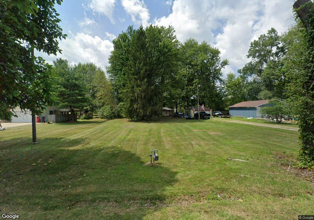
7128 Summit Rd SW Pataskala, OH 43062
Estimated Value: $218,000 - $250,000
1
Bed
1
Bath
1,328
Sq Ft
$174/Sq Ft
Est. Value
About This Home
This home is located at 7128 Summit Rd SW, Pataskala, OH 43062 and is currently estimated at $231,277, approximately $174 per square foot. 7128 Summit Rd SW is a home located in Licking County with nearby schools including Licking Heights High School and Grace Christian School.
Ownership History
Date
Name
Owned For
Owner Type
Purchase Details
Closed on
Dec 3, 2009
Sold by
Mcdaid Theresa A
Bought by
Mcdaid Alan C
Current Estimated Value
Purchase Details
Closed on
Aug 12, 1997
Sold by
Lane Evelyn J
Bought by
Mcdaid Alan C and Mcdaid Theresa A
Home Financials for this Owner
Home Financials are based on the most recent Mortgage that was taken out on this home.
Original Mortgage
$68,814
Outstanding Balance
$10,442
Interest Rate
7.68%
Mortgage Type
FHA
Estimated Equity
$220,835
Create a Home Valuation Report for This Property
The Home Valuation Report is an in-depth analysis detailing your home's value as well as a comparison with similar homes in the area
Home Values in the Area
Average Home Value in this Area
Purchase History
| Date | Buyer | Sale Price | Title Company |
|---|---|---|---|
| Mcdaid Alan C | -- | Attorney | |
| Mcdaid Alan C | $71,000 | -- |
Source: Public Records
Mortgage History
| Date | Status | Borrower | Loan Amount |
|---|---|---|---|
| Open | Mcdaid Alan C | $68,814 |
Source: Public Records
Tax History
| Year | Tax Paid | Tax Assessment Tax Assessment Total Assessment is a certain percentage of the fair market value that is determined by local assessors to be the total taxable value of land and additions on the property. | Land | Improvement |
|---|---|---|---|---|
| 2024 | $3,173 | $61,920 | $24,540 | $37,380 |
| 2023 | $3,456 | $61,920 | $24,540 | $37,380 |
| 2022 | $2,823 | $45,820 | $13,580 | $32,240 |
| 2021 | $2,878 | $45,820 | $13,580 | $32,240 |
| 2020 | $2,844 | $45,820 | $13,580 | $32,240 |
| 2019 | $2,850 | $37,450 | $13,580 | $23,870 |
| 2018 | $3,118 | $0 | $0 | $0 |
| 2017 | $3,177 | $0 | $0 | $0 |
| 2016 | $2,821 | $0 | $0 | $0 |
| 2015 | $2,717 | $0 | $0 | $0 |
| 2014 | $1,691 | $0 | $0 | $0 |
| 2013 | $9,895 | $0 | $0 | $0 |
Source: Public Records
Map
Nearby Homes
- 805 Saddle Ave
- 49 Summit Ridge Rd S
- 634 Keltoncrest Dr
- 413 Halton Dr
- 112 Old Bay Loop
- 521 Curry Dr
- 8056 Summit Rd SW
- 13756 Cleveland Rd SW
- 13734 Cleveland Rd SW
- 156 Arbor Ln SW
- 6953 Taylor Rd SW
- 242 Monarch Dr
- 65 Daley Dr SW
- 844 Brosmer Dr
- 6725 Taylor Rd SW
- 211 Rona Blvd
- 8774 Ormiston Cir
- 8827 Firstgate Dr
- 912 Mahle Dr
- 8900 Latham Ct
- 7156 Summit Rd SW
- 7124 Summit Rd SW
- 7174 Summit Rd SW
- 7098 Summit Rd SW
- 7090 Summit Rd SW
- 7200 Summit Rd SW
- 7080 Summit Rd SW
- 307 Woods Edge Loop
- 305 Woods Edge Loop
- 303 Woods Edge Loop
- 309 Woods Edge Loop
- 7236 Summit Rd SW
- 301 Woods Edge Loop
- 7048 Summit Rd SW
- 7239 Summit Rd SW
- 202 Autumn Way
- 311 Woods Edge Loop
- 204 Autumn Way
- 313 Woods Edge Loop
- 208 Autumn Way
Your Personal Tour Guide
Ask me questions while you tour the home.