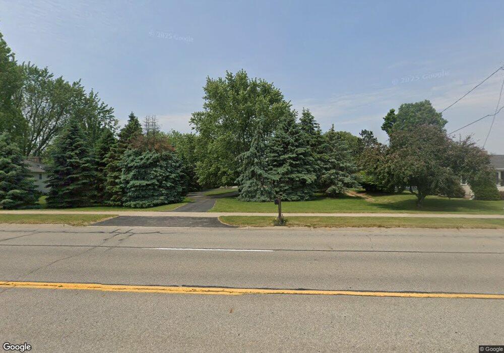
7129 28th Ave Hudsonville, MI 49426
Estimated Value: $393,518 - $461,000
4
Beds
2
Baths
1,812
Sq Ft
$234/Sq Ft
Est. Value
About This Home
This home is located at 7129 28th Ave, Hudsonville, MI 49426 and is currently estimated at $423,130, approximately $233 per square foot. 7129 28th Ave is a home located in Ottawa County with nearby schools including Baldwin Street Middle School, Hudsonville Freshman Campus, and Hudsonville High School.
Ownership History
Date
Name
Owned For
Owner Type
Purchase Details
Closed on
May 31, 2019
Sold by
Lung Duane
Bought by
Strpko Katelyn M and Lung Joel
Current Estimated Value
Home Financials for this Owner
Home Financials are based on the most recent Mortgage that was taken out on this home.
Original Mortgage
$165,000
Outstanding Balance
$108,543
Interest Rate
4.2%
Mortgage Type
New Conventional
Estimated Equity
$314,587
Purchase Details
Closed on
Mar 4, 2010
Sold by
Lung Scott
Bought by
Lung Duane
Purchase Details
Closed on
Jan 30, 2004
Sold by
Lung Duane
Bought by
Lung Duane and Lung Scott
Create a Home Valuation Report for This Property
The Home Valuation Report is an in-depth analysis detailing your home's value as well as a comparison with similar homes in the area
Home Values in the Area
Average Home Value in this Area
Purchase History
| Date | Buyer | Sale Price | Title Company |
|---|---|---|---|
| Strpko Katelyn M | $225,000 | Ata National Title Group Llc | |
| Lung Duane | -- | None Available | |
| Lung Duane | -- | -- |
Source: Public Records
Mortgage History
| Date | Status | Borrower | Loan Amount |
|---|---|---|---|
| Open | Strpko Katelyn M | $165,000 |
Source: Public Records
Tax History Compared to Growth
Tax History
| Year | Tax Paid | Tax Assessment Tax Assessment Total Assessment is a certain percentage of the fair market value that is determined by local assessors to be the total taxable value of land and additions on the property. | Land | Improvement |
|---|---|---|---|---|
| 2025 | $3,105 | $171,900 | $0 | $0 |
| 2024 | $2,687 | $162,400 | $0 | $0 |
| 2023 | $2,566 | $145,500 | $0 | $0 |
| 2022 | $2,820 | $129,200 | $0 | $0 |
| 2021 | $2,740 | $121,400 | $0 | $0 |
| 2020 | $2,711 | $108,300 | $0 | $0 |
| 2019 | $2,398 | $105,600 | $0 | $0 |
| 2018 | $2,234 | $103,200 | $0 | $0 |
| 2017 | $2,193 | $103,500 | $0 | $0 |
| 2016 | $2,172 | $94,400 | $0 | $0 |
| 2015 | $2,072 | $90,700 | $0 | $0 |
| 2014 | $2,072 | $80,300 | $0 | $0 |
Source: Public Records
Map
Nearby Homes
- 2921 N Wentward Ct
- 6760 N Wentward Ct
- 2698 Cedargrove N
- 6714 Cedar Grove W
- 7313 Valhalla Dr
- 6724 28th Ave
- 2323 Rosewood St
- 2194 Oak Hollow Dr
- 3204 Port Sheldon St
- V/L Port Sheldon St
- 7490 N Garden Ct
- 3528 Tearose Dr
- 6340 Summer Dr
- 2101 Rosewood St
- 7502 22nd Ave
- 2072 Oak Hollow Dr
- 2934 Parkside Dr Unit 54
- 3544 Nobb Hill Dr
- 3617 Teton Dr
- 7165 Keystone Ct
