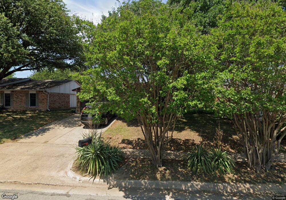
7129 Lancashire Dr North Richland Hills, TX 76182
Estimated Value: $268,173 - $287,000
3
Beds
2
Baths
1,348
Sq Ft
$206/Sq Ft
Est. Value
About This Home
This home is located at 7129 Lancashire Dr, North Richland Hills, TX 76182 and is currently estimated at $278,293, approximately $206 per square foot. 7129 Lancashire Dr is a home located in Tarrant County with nearby schools including Foster Village Elementary School, North Ridge Middle School, and Richland High School.
Ownership History
Date
Name
Owned For
Owner Type
Purchase Details
Closed on
Sep 12, 2013
Sold by
Teems Michael D and Teems Sylvia J
Bought by
White Hillory A
Current Estimated Value
Home Financials for this Owner
Home Financials are based on the most recent Mortgage that was taken out on this home.
Original Mortgage
$81,600
Outstanding Balance
$60,917
Interest Rate
4.41%
Mortgage Type
New Conventional
Estimated Equity
$217,376
Create a Home Valuation Report for This Property
The Home Valuation Report is an in-depth analysis detailing your home's value as well as a comparison with similar homes in the area
Home Values in the Area
Average Home Value in this Area
Purchase History
| Date | Buyer | Sale Price | Title Company |
|---|---|---|---|
| White Hillory A | -- | First American Title |
Source: Public Records
Mortgage History
| Date | Status | Borrower | Loan Amount |
|---|---|---|---|
| Open | White Hillory A | $81,600 |
Source: Public Records
Tax History Compared to Growth
Tax History
| Year | Tax Paid | Tax Assessment Tax Assessment Total Assessment is a certain percentage of the fair market value that is determined by local assessors to be the total taxable value of land and additions on the property. | Land | Improvement |
|---|---|---|---|---|
| 2025 | $3,129 | $256,256 | $50,000 | $206,256 |
| 2024 | $3,129 | $256,256 | $50,000 | $206,256 |
| 2023 | $2,846 | $270,340 | $50,000 | $220,340 |
| 2022 | $4,313 | $217,810 | $28,000 | $189,810 |
| 2021 | $4,146 | $201,593 | $28,000 | $173,593 |
| 2020 | $3,769 | $180,271 | $28,000 | $152,271 |
| 2019 | $3,546 | $176,715 | $28,000 | $148,715 |
| 2018 | $2,753 | $122,405 | $28,000 | $94,405 |
| 2017 | $3,246 | $122,405 | $28,000 | $94,405 |
| 2016 | $2,951 | $120,091 | $18,000 | $102,091 |
| 2015 | $2,372 | $99,700 | $10,000 | $89,700 |
| 2014 | $2,372 | $99,700 | $10,000 | $89,700 |
Source: Public Records
Map
Nearby Homes
- 7100 Winchester Rd
- 7133 Winchester Rd
- 7233 Romford Way
- 6933 Glenhurst Dr
- 6321 Little Ranch Rd
- 7001 Newcastle Place
- 6709 S Fork Dr
- 6713 S Fork Dr
- 7400 Bogart Dr
- 6717 Dream Dust Dr
- 6725 S Fork Dr
- 7501 April Ln
- 7409 Deaver Dr
- 7500 Regal Ln
- 6200 Kings Path
- 6608 Summertime Ln
- 6201 Queens Path
- 6608 Swanee Ct
- 7504 Bogart Dr
- 5729 Cancun Dr
- 7125 Lancashire Dr
- 7201 Lancashire Dr
- 7201 Lancashire Dr
- 7128 Chatham Rd
- 7121 Lancashire Dr
- 7205 Lancashire Dr
- 7200 Chatham Rd
- 7124 Chatham Rd
- 7128 Lancashire Dr
- 7204 Chatham Rd
- 7120 Chatham Rd
- 7124 Lancashire Dr
- 7200 Lancashire Dr
- 7209 Lancashire Dr
- 7117 Lancashire Dr
- 7204 Lancashire Dr
- 7120 Lancashire Dr
- 7208 Chatham Rd
- 7116 Chatham Rd
- 7113 Lancashire Dr