712D Delair Rd Monroe Township, NJ 08831
Estimated Value: $360,230 - $515,000
--
Bed
--
Bath
1,380
Sq Ft
$294/Sq Ft
Est. Value
About This Home
This home is located at 712D Delair Rd, Monroe Township, NJ 08831 and is currently estimated at $405,558, approximately $293 per square foot. 712D Delair Rd is a home located in Middlesex County with nearby schools including Oak Tree Elementary School, Monroe Township Middle School, and Monroe Township High School.
Ownership History
Date
Name
Owned For
Owner Type
Purchase Details
Closed on
Jul 28, 2020
Sold by
Thorne Lloyd and Estate Of John H Thorne
Bought by
Eggm Llc
Current Estimated Value
Purchase Details
Closed on
May 12, 2002
Sold by
Drogy Joseph
Bought by
Thorne John and Thorne Bernice
Home Financials for this Owner
Home Financials are based on the most recent Mortgage that was taken out on this home.
Original Mortgage
$50,000
Interest Rate
7%
Create a Home Valuation Report for This Property
The Home Valuation Report is an in-depth analysis detailing your home's value as well as a comparison with similar homes in the area
Home Values in the Area
Average Home Value in this Area
Purchase History
| Date | Buyer | Sale Price | Title Company |
|---|---|---|---|
| Eggm Llc | $189,000 | Bentley Abstract Inc | |
| Thorne John | $155,000 | -- |
Source: Public Records
Mortgage History
| Date | Status | Borrower | Loan Amount |
|---|---|---|---|
| Previous Owner | Thorne John | $50,000 |
Source: Public Records
Tax History Compared to Growth
Tax History
| Year | Tax Paid | Tax Assessment Tax Assessment Total Assessment is a certain percentage of the fair market value that is determined by local assessors to be the total taxable value of land and additions on the property. | Land | Improvement |
|---|---|---|---|---|
| 2025 | $2,850 | $101,400 | $30,000 | $71,400 |
| 2024 | $2,751 | $101,400 | $30,000 | $71,400 |
| 2023 | $2,751 | $101,400 | $30,000 | $71,400 |
| 2022 | $2,704 | $101,400 | $30,000 | $71,400 |
| 2021 | $2,688 | $101,400 | $30,000 | $71,400 |
| 2020 | $2,445 | $101,400 | $30,000 | $71,400 |
| 2019 | $2,634 | $101,400 | $30,000 | $71,400 |
| 2018 | $2,364 | $101,400 | $30,000 | $71,400 |
| 2017 | $2,324 | $101,400 | $30,000 | $71,400 |
| 2016 | $2,535 | $101,400 | $30,000 | $71,400 |
| 2015 | $2,474 | $101,400 | $30,000 | $71,400 |
| 2014 | $2,391 | $101,400 | $30,000 | $71,400 |
Source: Public Records
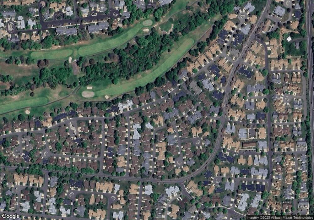
Map
Nearby Homes
- 742A Pompton Rd Unit 742A
- 742A Pompton Rd Unit A
- 639 Madison Dr Unit 639C
- 732 Ralston Plaza Unit A
- 278 Crosse Dr Unit 3G
- 780B Ardmore Rd
- 478 Fairton Dr Unit 478A
- 478 Fairton Dr
- 492 Delair Rd Unit C
- 278 -3G Crosse
- 235A Vernon Rd
- 235A Vernon Rd Unit A
- 626 Deal Rd Unit C
- 265 Crosse Dr Unit 265A
- 838 Vail Rd
- 442A Dahlia Plaza
- 218 N Pondview Blvd
- 163 Goldfinch Dr
- 780 Ardmore Rd Unit B
- 40 Haddon Rd Unit 40B
- 712C Delair Rd
- 714A Delair Rd
- 712B Delair Rd
- 712B Delair Rd Unit B
- 714B Delair Rd
- 762A Marlton Rd
- 747C Marlton Rd Unit 747C
- 762B Marlton Rd
- 712A Delair Rd
- 747 Marlton Rd Unit C
- 747 Marlton Rd
- 747 Marlton Rd Unit 747C
- 713A Delair Rd Unit A
- 747B Marlton Rd Unit 747B
- 714C Delair Rd
- 711B Delair Rd
- 715A Delair Rd
- 711A Delair Rd Unit 711A
- 747A Marlton Rd Unit 747
- C Marlton Rd