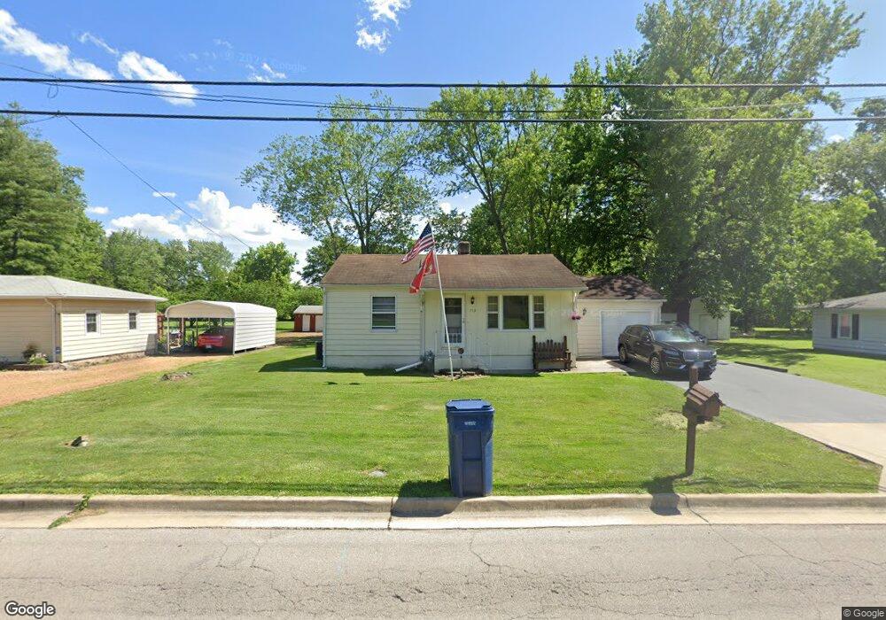
713 Airport Rd Mount Vernon, IL 62864
Estimated Value: $63,875 - $99,000
--
Bed
--
Bath
768
Sq Ft
$114/Sq Ft
Est. Value
About This Home
This home is located at 713 Airport Rd, Mount Vernon, IL 62864 and is currently estimated at $87,219, approximately $113 per square foot. 713 Airport Rd is a home located in Jefferson County with nearby schools including Summersville Grade School, Mount Vernon High School, and St Marys.
Create a Home Valuation Report for This Property
The Home Valuation Report is an in-depth analysis detailing your home's value as well as a comparison with similar homes in the area
Home Values in the Area
Average Home Value in this Area
Tax History Compared to Growth
Tax History
| Year | Tax Paid | Tax Assessment Tax Assessment Total Assessment is a certain percentage of the fair market value that is determined by local assessors to be the total taxable value of land and additions on the property. | Land | Improvement |
|---|---|---|---|---|
| 2024 | -- | $16,114 | $3,048 | $13,066 |
| 2023 | -- | $14,876 | $2,814 | $12,062 |
| 2022 | -- | $13,049 | $2,468 | $10,581 |
| 2021 | $5,627 | $12,427 | $2,350 | $10,077 |
| 2020 | $5,627 | $11,614 | $2,196 | $9,418 |
| 2019 | $5,627 | $11,614 | $2,196 | $9,418 |
| 2018 | $0 | $13,491 | $2,196 | $11,295 |
| 2017 | $0 | $13,491 | $2,196 | $11,295 |
| 2016 | $0 | $14,721 | $2,196 | $12,525 |
| 2015 | -- | $14,721 | $2,196 | $12,525 |
| 2014 | -- | $14,721 | $2,196 | $12,525 |
| 2013 | $523 | $13,888 | $2,072 | $11,816 |
Source: Public Records
Map
Nearby Homes
- 717 White Ave
- 820 Airport Rd
- 820 White Ave
- 14009 N Tolle Ln
- 909 & 905 Fairfield Rd
- 14625 Illinois 15
- 14063 N Link Ln
- 415 Marteeny St
- 601 Marteeny St
- 14013 N Tolle Ln
- 213 S 2nd St
- 300 S 4th St
- 1300 N Tolle Ln
- 408 N 6th St
- 14017 E Eastland Rd
- 313 Castleton Ave
- 205 S 6th St
- 317 N 7th St
- 716 North St
- 704 Royal Ave