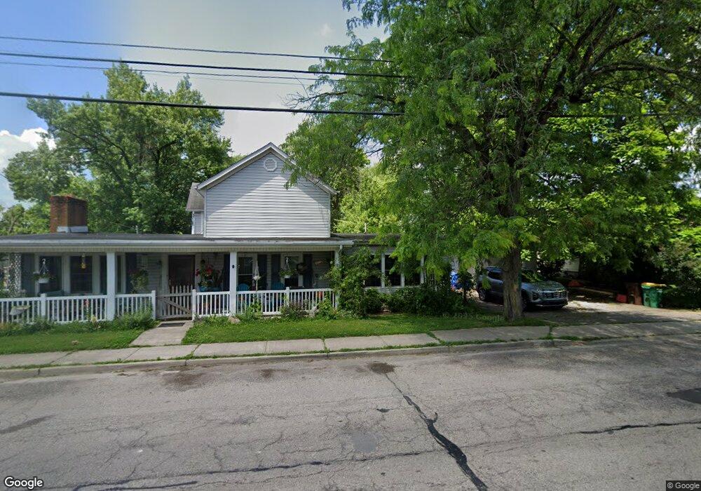
713 Albert Rd Brookville, OH 45309
Estimated Value: $281,103 - $344,000
4
Beds
3
Baths
2,288
Sq Ft
$136/Sq Ft
Est. Value
About This Home
This home is located at 713 Albert Rd, Brookville, OH 45309 and is currently estimated at $312,276, approximately $136 per square foot. 713 Albert Rd is a home located in Montgomery County with nearby schools including Brookville Elementary School, Brookville Intermediate School, and Brookville High School.
Ownership History
Date
Name
Owned For
Owner Type
Purchase Details
Closed on
Jun 13, 2022
Sold by
Vera C Chasteen Testamentary Trust
Bought by
Lawson Terry W and Lawson Carol
Current Estimated Value
Home Financials for this Owner
Home Financials are based on the most recent Mortgage that was taken out on this home.
Original Mortgage
$117,950
Outstanding Balance
$112,259
Interest Rate
5.3%
Mortgage Type
New Conventional
Estimated Equity
$200,017
Purchase Details
Closed on
Aug 24, 2021
Sold by
Estate Of Vera C Chasteen
Bought by
Stephens Timothy A and Vera C Chasteen Testmentary Tr
Create a Home Valuation Report for This Property
The Home Valuation Report is an in-depth analysis detailing your home's value as well as a comparison with similar homes in the area
Home Values in the Area
Average Home Value in this Area
Purchase History
| Date | Buyer | Sale Price | Title Company |
|---|---|---|---|
| Lawson Terry W | -- | Mitchell James R | |
| Stephens Timothy A | -- | None Available |
Source: Public Records
Mortgage History
| Date | Status | Borrower | Loan Amount |
|---|---|---|---|
| Open | Lawson Terry W | $117,950 |
Source: Public Records
Tax History Compared to Growth
Tax History
| Year | Tax Paid | Tax Assessment Tax Assessment Total Assessment is a certain percentage of the fair market value that is determined by local assessors to be the total taxable value of land and additions on the property. | Land | Improvement |
|---|---|---|---|---|
| 2024 | $4,123 | $88,040 | $16,110 | $71,930 |
| 2023 | $4,123 | $88,040 | $16,110 | $71,930 |
| 2022 | $3,656 | $60,720 | $11,120 | $49,600 |
| 2021 | $3,672 | $60,720 | $11,120 | $49,600 |
| 2020 | $3,150 | $60,720 | $11,120 | $49,600 |
| 2019 | $2,548 | $47,190 | $11,120 | $36,070 |
| 2018 | $2,561 | $47,190 | $11,120 | $36,070 |
| 2017 | $2,549 | $47,190 | $11,120 | $36,070 |
| 2016 | $2,287 | $42,560 | $11,120 | $31,440 |
| 2015 | $2,251 | $42,560 | $11,120 | $31,440 |
| 2014 | $2,251 | $42,560 | $11,120 | $31,440 |
| 2012 | -- | $44,650 | $10,540 | $34,110 |
Source: Public Records
Map
Nearby Homes
- 421 Market St
- 214 Hay Ave
- 766 Hunters Run Dr
- 144 Evergreen Way
- 114 Evergreen Way
- 137 Evergreen Way
- 107 Autumn Maple Ln
- 4 E Mckinley St
- 12 Harshman St
- 208 N Wolf Creek St
- 7005 E Westbrook Rd
- Norway Plan at Harper Creek
- Juniper Plan at Harper Creek
- Bradford Plan at Harper Creek
- Ironwood Plan at Harper Creek
- Palmetto Plan at Harper Creek
- Spruce Plan at Harper Creek
- Aspen II Plan at Harper Creek
- Cooper Plan at Harper Creek
- Chestnut Plan at Harper Creek