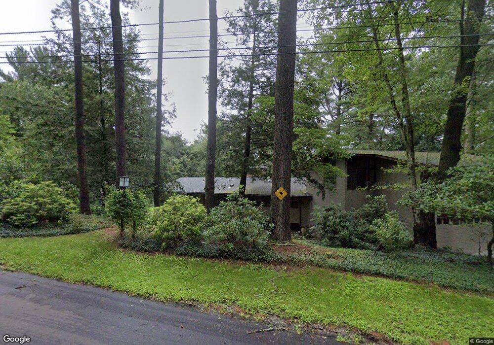
713 Annursnac Hill Rd Concord, MA 01742
Estimated Value: $1,486,944 - $2,347,000
5
Beds
3
Baths
4,752
Sq Ft
$388/Sq Ft
Est. Value
About This Home
This home is located at 713 Annursnac Hill Rd, Concord, MA 01742 and is currently estimated at $1,844,236, approximately $388 per square foot. 713 Annursnac Hill Rd is a home located in Middlesex County with nearby schools including Thoreau Elementary School, Concord Middle School, and Concord Carlisle High School.
Ownership History
Date
Name
Owned For
Owner Type
Purchase Details
Closed on
Jun 11, 1998
Sold by
Brinner Susan
Bought by
Mcwilliams Andrew and Mcwilliams Mary A
Current Estimated Value
Home Financials for this Owner
Home Financials are based on the most recent Mortgage that was taken out on this home.
Original Mortgage
$300,000
Outstanding Balance
$60,330
Interest Rate
7.11%
Mortgage Type
Purchase Money Mortgage
Estimated Equity
$1,783,906
Create a Home Valuation Report for This Property
The Home Valuation Report is an in-depth analysis detailing your home's value as well as a comparison with similar homes in the area
Home Values in the Area
Average Home Value in this Area
Purchase History
| Date | Buyer | Sale Price | Title Company |
|---|---|---|---|
| Mcwilliams Andrew | $525,000 | -- |
Source: Public Records
Mortgage History
| Date | Status | Borrower | Loan Amount |
|---|---|---|---|
| Open | Mcwilliams Andrew | $300,000 |
Source: Public Records
Tax History Compared to Growth
Tax History
| Year | Tax Paid | Tax Assessment Tax Assessment Total Assessment is a certain percentage of the fair market value that is determined by local assessors to be the total taxable value of land and additions on the property. | Land | Improvement |
|---|---|---|---|---|
| 2025 | $169 | $1,277,300 | $631,000 | $646,300 |
| 2024 | $16,625 | $1,266,200 | $631,000 | $635,200 |
| 2023 | $14,570 | $1,124,200 | $506,100 | $618,100 |
| 2022 | $13,839 | $937,600 | $404,800 | $532,800 |
| 2021 | $13,182 | $895,500 | $404,800 | $490,700 |
| 2020 | $13,227 | $929,500 | $404,800 | $524,700 |
| 2019 | $12,453 | $877,600 | $408,900 | $468,700 |
| 2018 | $12,297 | $860,500 | $409,300 | $451,200 |
| 2017 | $12,415 | $882,400 | $403,900 | $478,500 |
| 2016 | $11,751 | $844,200 | $403,900 | $440,300 |
| 2015 | $10,892 | $762,200 | $374,000 | $388,200 |
Source: Public Records
Map
Nearby Homes
- 19 Whippoorwill Ln
- 10 Wingate Ln
- 855 Barretts Mill Rd
- 104 Channing Rd
- 79-81 Assabet Ave
- 1 Bayberry Rd
- 134 Pope Rd
- 987 Lowell Rd
- 247 Pope Rd
- 249 Pope Rd
- 295 Musterfield Rd
- 11 Horseshoe Dr
- 488 Elm St
- 244 Musterfield Rd
- 209 Great Rd Unit C1
- 16 Concord Greene Unit 5
- 54 Maple St
- 29 Concord Greene Unit 2
- 23 Concord Greene Unit 4
- 24 Concord Greene Unit 7
- 260 Annursnac Hill Rd
- 743 Annursnac Hill Rd
- 722 Annursnac Hill Rd
- 736 Annursnac Hill Rd
- 688 Annursnac Hill Rd
- 275 Annursnac Hill Rd
- 760 Annursnac Hill Rd
- 706 Annursnac Hill Rd
- 238 Annursnac Hill Rd
- 668 Annursnac Hill Rd
- 295 Annursnac Hill Rd
- 239 College Rd
- 309 Annursnac Hill Rd
- 336 Annursnac Hill Rd
- 265 College Rd
- 648 Annursnac Hill Rd
- 211 College Rd
- 53A Annursnac Hill Rd
- 287 College Rd
- 315 College Rd