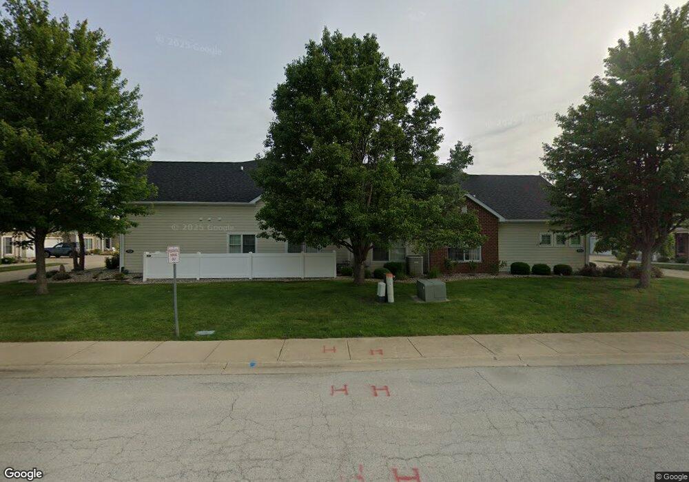
713 Arbor Pkwy Unit D Bourbonnais, IL 60914
Estimated Value: $323,825 - $381,000
3
Beds
2
Baths
1,868
Sq Ft
$190/Sq Ft
Est. Value
About This Home
This home is located at 713 Arbor Pkwy Unit D, Bourbonnais, IL 60914 and is currently estimated at $354,956, approximately $190 per square foot. 713 Arbor Pkwy Unit D is a home located in Kankakee County with nearby schools including Noel Levasseur Elementary School, Liberty Intermediate School, and Bourbonnais Upper Grade Center.
Ownership History
Date
Name
Owned For
Owner Type
Purchase Details
Closed on
Nov 4, 2020
Sold by
Trust Number 2710
Bought by
Kuntz Gerald and Kuntz Marla
Current Estimated Value
Home Financials for this Owner
Home Financials are based on the most recent Mortgage that was taken out on this home.
Original Mortgage
$275,000
Interest Rate
3.9%
Mortgage Type
Construction
Purchase Details
Closed on
Jan 29, 2018
Sold by
See Caryle A
Bought by
Trust Number 2710
Create a Home Valuation Report for This Property
The Home Valuation Report is an in-depth analysis detailing your home's value as well as a comparison with similar homes in the area
Home Values in the Area
Average Home Value in this Area
Purchase History
| Date | Buyer | Sale Price | Title Company |
|---|---|---|---|
| Kuntz Gerald | $275,000 | Standard Title | |
| Trust Number 2710 | -- | Brezinski Ann L |
Source: Public Records
Mortgage History
| Date | Status | Borrower | Loan Amount |
|---|---|---|---|
| Closed | Kuntz Gerald | $275,000 |
Source: Public Records
Tax History Compared to Growth
Tax History
| Year | Tax Paid | Tax Assessment Tax Assessment Total Assessment is a certain percentage of the fair market value that is determined by local assessors to be the total taxable value of land and additions on the property. | Land | Improvement |
|---|---|---|---|---|
| 2024 | $8,521 | $108,889 | $6,413 | $102,476 |
| 2023 | $7,801 | $100,823 | $5,938 | $94,885 |
| 2022 | $7,530 | $93,844 | $5,723 | $88,121 |
| 2021 | $7,398 | $91,779 | $5,597 | $86,182 |
| 2020 | $6,889 | $89,322 | $5,447 | $83,875 |
| 2019 | $6,731 | $86,720 | $5,288 | $81,432 |
| 2018 | $6,459 | $83,439 | $5,210 | $78,229 |
| 2017 | $3,782 | $48,157 | $5,083 | $43,074 |
| 2016 | $14 | $160 | $160 | $0 |
| 2015 | $15 | $160 | $160 | $0 |
| 2014 | $14 | $160 | $160 | $0 |
| 2013 | -- | $160 | $160 | $0 |
Source: Public Records
Map
Nearby Homes
- 717 Independence Dr
- 635 Independence Dr
- Lot 5/5A Almar Pkwy
- 631 Concord Place
- 4776 - 0 Illinois 102
- 1172 Blaye
- 1269 Tower Ct
- 52 Hanson Dr
- 1230 Eagle Bluff Dr
- lot Briarcliff Ln
- 650 Justin Ct
- 54 Bonds Dr
- 5 Inverness Dr
- 370 Windermere Way
- 1365 Braemar Ct
- 213 Bernard St
- 891 Exeter Turn Unit E1
- 675 Kathy Dr
- 850 Exeter Turn
- 118 Meadows Ct
- 713 Arbor Pkwy Unit C
- 713 Arbor Pkwy Unit B
- 713 Arbor Pkwy Unit A
- 713 Arbor Pkwy
- 713 Arbor Pkwy Unit LIBERTY
- 713 Arbor Pkwy Unit RANDOLP
- 713 Arbor Pkwy Unit NEWPORT
- 713 Arbor Pkwy Unit HOLLINS
- 713 Arbor Pkwy Unit EMORY
- 713 Arbor Pkwy Unit RICHMON
- 715 Arbor Pkwy Unit A
- 711 Arbor Pkwy Unit D
- 711 Arbor Pkwy Unit C
- 711 Arbor Pkwy Unit B
- 711 Arbor Pkwy Unit A
- 717 Arbor Pkwy Unit C
- 707 Arbor Pkwy Unit B
- 707 Arbor Pkwy Unit D
- 707 Arbor Pkwy Unit C
- 707 Arbor Pkwy Unit A