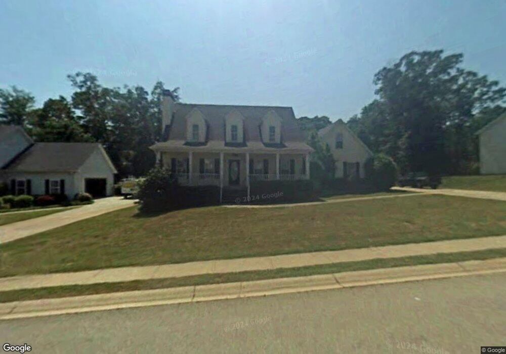
713 Baskins Cir Unit 1 Winder, GA 30680
Estimated Value: $334,245 - $374,000
--
Bed
3
Baths
2,113
Sq Ft
$169/Sq Ft
Est. Value
About This Home
This home is located at 713 Baskins Cir Unit 1, Winder, GA 30680 and is currently estimated at $356,561, approximately $168 per square foot. 713 Baskins Cir Unit 1 is a home located in Barrow County with nearby schools including County Line Elementary School, Russell Middle School, and Winder-Barrow High School.
Ownership History
Date
Name
Owned For
Owner Type
Purchase Details
Closed on
Jun 10, 1998
Sold by
David Pace Prop
Bought by
Schlutz Donald O
Current Estimated Value
Home Financials for this Owner
Home Financials are based on the most recent Mortgage that was taken out on this home.
Original Mortgage
$139,950
Outstanding Balance
$28,217
Interest Rate
7.14%
Mortgage Type
VA
Estimated Equity
$328,344
Create a Home Valuation Report for This Property
The Home Valuation Report is an in-depth analysis detailing your home's value as well as a comparison with similar homes in the area
Home Values in the Area
Average Home Value in this Area
Purchase History
| Date | Buyer | Sale Price | Title Company |
|---|---|---|---|
| Schlutz Donald O | $137,300 | -- |
Source: Public Records
Mortgage History
| Date | Status | Borrower | Loan Amount |
|---|---|---|---|
| Open | Schlutz Donald O | $139,950 |
Source: Public Records
Tax History Compared to Growth
Tax History
| Year | Tax Paid | Tax Assessment Tax Assessment Total Assessment is a certain percentage of the fair market value that is determined by local assessors to be the total taxable value of land and additions on the property. | Land | Improvement |
|---|---|---|---|---|
| 2024 | $2,793 | $112,562 | $27,200 | $85,362 |
| 2023 | $2,301 | $112,562 | $27,200 | $85,362 |
| 2022 | $2,647 | $85,706 | $22,800 | $62,906 |
| 2021 | $2,546 | $78,906 | $16,000 | $62,906 |
| 2020 | $2,172 | $67,290 | $14,000 | $53,290 |
| 2019 | $2,143 | $64,886 | $14,000 | $50,886 |
| 2018 | $2,074 | $62,486 | $11,600 | $50,886 |
| 2017 | $1,453 | $48,686 | $11,600 | $37,086 |
| 2016 | $1,414 | $45,907 | $11,600 | $34,307 |
| 2015 | $1,429 | $46,306 | $11,600 | $34,706 |
| 2014 | $1,323 | $43,791 | $6,860 | $36,931 |
| 2013 | -- | $41,099 | $6,860 | $34,239 |
Source: Public Records
Map
Nearby Homes
- 980 Lake Rockwell Way
- 412 Regan Dr
- 746 Baskins Cir
- 615 Wellington Dr
- The Paisley Plan at Rockwell Farms
- The Rockwell Plan at Rockwell Farms
- The Barnes Plan at Rockwell Farms
- The Reynolds Plan at Rockwell Farms
- The Austin Plan at Rockwell Farms
- The Logan Plan at Rockwell Farms
- The Rose II Plan at Rockwell Farms
- 318 Ryan Rd
- 926 Live Oak Ct Unit 2
- 27 Creekside Dr
- 563 Rockwell Church Rd NW
- 0 Gainesville Hwy Unit 10549985
- 0 E Northcrest Dr Unit 10648147
- 401 N 5th Ave
- 0 Mulberry Cir Unit 10647438
- 469 Plantation Dr
- 711 Baskins Cir
- 715 Baskins Cir
- 982 Lake Rockwell Way
- 980 Lake Rockwell Way Unit 34
- 709 Baskins Cir
- 984 Lake Rockwell Way
- 717 Baskins Cir
- 717 Baskins Cir Unit 1
- 714 Baskins Cir
- 712 Baskins Cir Unit 1
- 978 Lake Rockwell Way
- 978 Lake Rockwell Way Unit 35
- 983 Lake Rockwell Way
- 710 Baskins Cir
- 986 Lake Rockwell Way
- 718 Baskins Cir
- 0 Lake Rockwell Way Unit 8849467
- 0 Lake Rockwell Way Unit 8937017
- 0 Lake Rockwell Way Unit 8325406
- 0 Lake Rockwell Way Unit 8343357