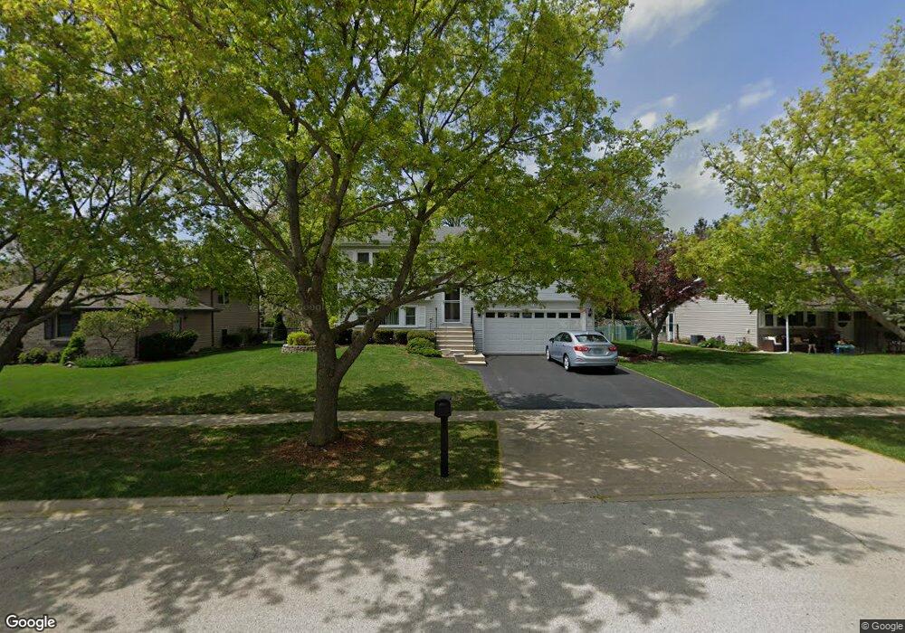
713 Bon Terre Rd New Lenox, IL 60451
Estimated Value: $313,736 - $443,000
--
Bed
--
Bath
--
Sq Ft
10,454
Sq Ft Lot
About This Home
This home is located at 713 Bon Terre Rd, New Lenox, IL 60451 and is currently estimated at $399,934. 713 Bon Terre Rd is a home located in Will County with nearby schools including Bentley Elementary School, Arnold J Tyler School, and Alex M Martino Jr High School.
Ownership History
Date
Name
Owned For
Owner Type
Purchase Details
Closed on
Jun 28, 2003
Sold by
Ritchie Barbara J and Dalessio Barbara J
Bought by
Nlsb and Trust #1931
Current Estimated Value
Purchase Details
Closed on
Dec 19, 2002
Sold by
Nlsb
Bought by
Ritchie Barbara J and Dalessio Barbara J
Home Financials for this Owner
Home Financials are based on the most recent Mortgage that was taken out on this home.
Original Mortgage
$76,000
Interest Rate
6.06%
Mortgage Type
Purchase Money Mortgage
Create a Home Valuation Report for This Property
The Home Valuation Report is an in-depth analysis detailing your home's value as well as a comparison with similar homes in the area
Home Values in the Area
Average Home Value in this Area
Purchase History
| Date | Buyer | Sale Price | Title Company |
|---|---|---|---|
| Nlsb | -- | -- | |
| Ritchie Barbara J | -- | Lawyers Title Insurance Corp |
Source: Public Records
Mortgage History
| Date | Status | Borrower | Loan Amount |
|---|---|---|---|
| Previous Owner | Ritchie Barbara J | $76,000 |
Source: Public Records
Tax History Compared to Growth
Tax History
| Year | Tax Paid | Tax Assessment Tax Assessment Total Assessment is a certain percentage of the fair market value that is determined by local assessors to be the total taxable value of land and additions on the property. | Land | Improvement |
|---|---|---|---|---|
| 2024 | $6,915 | $101,213 | $33,360 | $67,853 |
| 2023 | $6,915 | $92,263 | $30,410 | $61,853 |
| 2022 | $6,403 | $84,996 | $28,015 | $56,981 |
| 2021 | $6,042 | $79,936 | $26,347 | $53,589 |
| 2020 | $5,848 | $77,084 | $25,407 | $51,677 |
| 2019 | $5,578 | $74,694 | $24,619 | $50,075 |
| 2018 | $5,427 | $72,119 | $23,770 | $48,349 |
| 2017 | $5,139 | $70,046 | $23,087 | $46,959 |
| 2016 | $4,972 | $68,171 | $22,469 | $45,702 |
| 2015 | $4,787 | $66,025 | $21,762 | $44,263 |
| 2014 | $4,787 | $65,210 | $21,493 | $43,717 |
| 2013 | $4,787 | $66,089 | $21,783 | $44,306 |
Source: Public Records
Map
Nearby Homes
- 235 Roberts Rd
- 920 Barnside Rd
- 203 Tonell Ave
- 117 Walona Ave
- 718 S Prairie Rd
- 805 Regent St
- 513 Somerset Ln
- 328 E Lincoln Hwy
- 1017 E Lincoln Hwy
- 00 NE Corner Cherry Hill Road and Moss Lane Rd
- 315 S Pine St
- 1000 S Cedar Rd
- 125 N Anderson Rd
- 214 Somerset Ct
- 202 Hickory St
- 1535 Glenbrooke Ln
- 329 Hancock Dr
- 911 Canongate Ln
- 1139 Georgias Way
- 1125 Georgias Way
- 715 Bon Terre Rd
- 711 Bon Terre Rd
- 717 Bon Terre Rd
- 709 Bon Terre Rd Unit 1
- 330 William St
- 330 Williams St
- 332 Williams St
- 328 Williams St
- 720 Bon Terre Rd
- 700 Plank Rd
- 334 Williams St
- 707 Bon Terre Rd
- 719 Bon Terre Rd
- 326 Williams St
- 700 Amber Rd
- 703 Plank Rd
- 702 Plank Rd
- 730 Bon Terre Rd
- 318 Williams St
- 336 Williams St