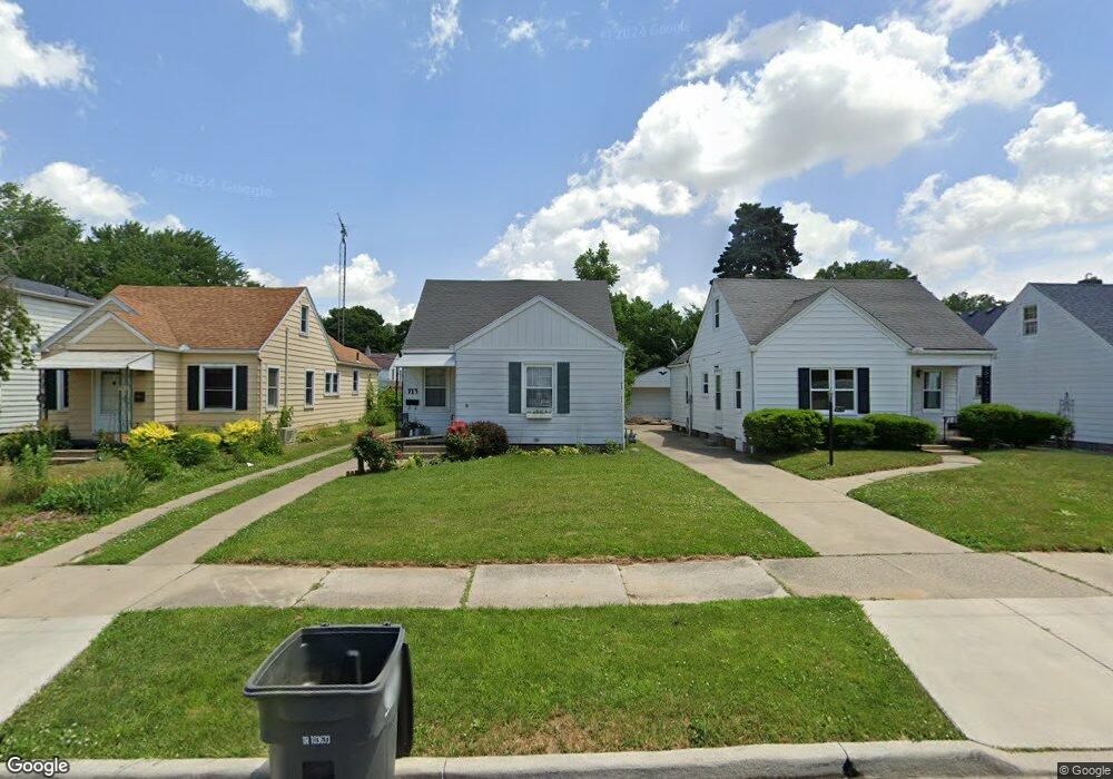
713 Bronx Dr Toledo, OH 43609
Southside NeighborhoodEstimated Value: $96,437 - $123,000
3
Beds
1
Bath
1,054
Sq Ft
$98/Sq Ft
Est. Value
About This Home
This home is located at 713 Bronx Dr, Toledo, OH 43609 and is currently estimated at $103,609, approximately $98 per square foot. 713 Bronx Dr is a home located in Lucas County with nearby schools including Burroughs Elementary School, Bowsher High School, and Explorers Academy of Science and Technology.
Ownership History
Date
Name
Owned For
Owner Type
Purchase Details
Closed on
May 3, 2016
Sold by
Moya Andrea E
Bought by
Moya Andrea E
Current Estimated Value
Purchase Details
Closed on
May 27, 2005
Sold by
Fahsholtz Craig and Fahsholtz Helen
Bought by
Moya Andres M and Moya Andrea E
Home Financials for this Owner
Home Financials are based on the most recent Mortgage that was taken out on this home.
Original Mortgage
$93,000
Interest Rate
5.91%
Mortgage Type
Fannie Mae Freddie Mac
Purchase Details
Closed on
May 19, 2000
Sold by
Sours Tammy R and Sours Tammy R
Bought by
Fahsholtz Craig and Fahsholtz Helen
Home Financials for this Owner
Home Financials are based on the most recent Mortgage that was taken out on this home.
Original Mortgage
$63,650
Interest Rate
8.13%
Purchase Details
Closed on
Feb 4, 1992
Sold by
Sours Robert R and Sours Tammy R
Purchase Details
Closed on
Aug 30, 1989
Sold by
Ebersole Scott B and Ebersole Sharon
Create a Home Valuation Report for This Property
The Home Valuation Report is an in-depth analysis detailing your home's value as well as a comparison with similar homes in the area
Home Values in the Area
Average Home Value in this Area
Purchase History
| Date | Buyer | Sale Price | Title Company |
|---|---|---|---|
| Moya Andrea E | -- | None Available | |
| Moya Andres M | $93,000 | -- | |
| Fahsholtz Craig | $67,000 | Northwest Title Agency Of Oh | |
| -- | -- | -- | |
| -- | $45,500 | -- |
Source: Public Records
Mortgage History
| Date | Status | Borrower | Loan Amount |
|---|---|---|---|
| Previous Owner | Moya Andres M | $93,000 | |
| Previous Owner | Fahsholtz Craig | $63,650 |
Source: Public Records
Tax History Compared to Growth
Tax History
| Year | Tax Paid | Tax Assessment Tax Assessment Total Assessment is a certain percentage of the fair market value that is determined by local assessors to be the total taxable value of land and additions on the property. | Land | Improvement |
|---|---|---|---|---|
| 2024 | $731 | $23,100 | $6,195 | $16,905 |
| 2023 | $1,392 | $21,035 | $3,710 | $17,325 |
| 2022 | $1,396 | $21,035 | $3,710 | $17,325 |
| 2021 | $1,430 | $21,035 | $3,710 | $17,325 |
| 2020 | $1,495 | $19,495 | $3,395 | $16,100 |
| 2019 | $1,454 | $19,495 | $3,395 | $16,100 |
| 2018 | $1,456 | $19,495 | $3,395 | $16,100 |
| 2017 | $1,499 | $19,075 | $3,325 | $15,750 |
| 2016 | $1,465 | $54,500 | $9,500 | $45,000 |
| 2015 | $1,452 | $54,500 | $9,500 | $45,000 |
| 2014 | $1,200 | $19,080 | $3,330 | $15,750 |
| 2013 | $1,200 | $19,080 | $3,330 | $15,750 |
Source: Public Records
Map
Nearby Homes
- 576 Bronx Dr
- 710 Durango Dr
- 556 Apple Ave
- 2828 South Ave
- 2126 Airport Hwy
- 321 Mayberry St
- 304 Mayberry St
- 440 Somerset St
- 531 Shasta Dr
- 940 Francis Ave
- 885 National Ave
- 546 Elmdale Rd
- 226 Somerset St
- 1011 National Ave
- 221 Somerset St
- 705 Wright Ave
- 649 Wright Ave
- 859 Wright Ave
- 728 Foredale Ave
- 638 Foredale Ave