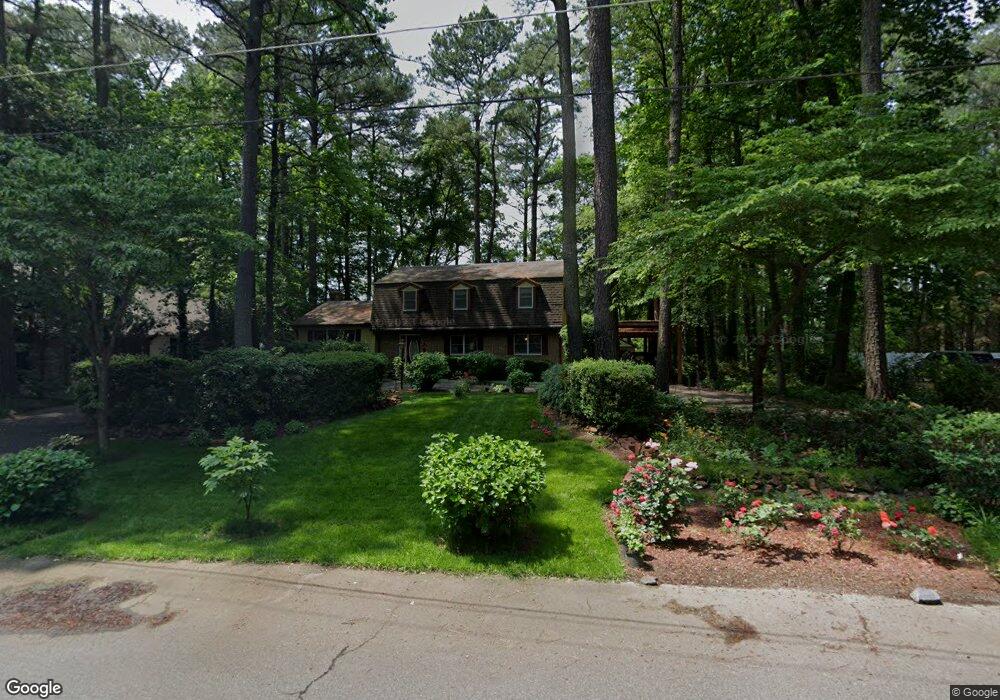
713 Burning Tree Cir Salisbury, MD 21801
South Salisbury NeighborhoodEstimated Value: $300,437 - $403,000
About This Home
This home is located at 713 Burning Tree Cir, Salisbury, MD 21801 and is currently estimated at $368,609, approximately $148 per square foot. 713 Burning Tree Cir is a home located in Wicomico County with nearby schools including Fruitland Primary School, Fruitland Intermediate School, and Bennett Middle School.
Ownership History
We collect this data history from publicly available records. To have your information removed, we recommend requesting removal directly through your county’s website.
Purchase Details
Purchase Details
Home Values in the Area
Average Home Value in this Area
Purchase History
We collect this data history from publicly available records. To have your information removed, we recommend requesting removal directly through your county’s website.
| Date | Buyer | Sale Price | Title Company |
|---|---|---|---|
| -- | None Available | ||
| $172,500 | -- |
Mortgage History
We collect this data history from publicly available records. To have your information removed, we recommend requesting removal directly through your county’s website.
| Date | Status | Borrower | Loan Amount |
|---|---|---|---|
| Closed | -- |
Tax History
We collect this data history from publicly available records. To have your information removed, we recommend requesting removal directly through your county’s website.
| Year | Tax Paid | Tax Assessment Tax Assessment Total Assessment is a certain percentage of the fair market value that is determined by local assessors to be the total taxable value of land and additions on the property. | Land | Improvement |
|---|---|---|---|---|
| 2025 | $1,874 | $205,133 | $0 | $0 |
| 2024 | $1,835 | $191,400 | $37,400 | $154,000 |
| 2023 | $1,820 | $184,133 | $0 | $0 |
| 2022 | $1,802 | $176,867 | $0 | $0 |
| 2021 | $1,741 | $169,600 | $37,400 | $132,200 |
| 2020 | $1,741 | $168,767 | $0 | $0 |
| 2019 | $1,758 | $167,933 | $0 | $0 |
| 2018 | $1,758 | $167,100 | $37,400 | $129,700 |
| 2017 | $1,758 | $167,100 | $0 | $0 |
| 2016 | -- | $167,100 | $0 | $0 |
| 2015 | $1,912 | $202,000 | $0 | $0 |
| 2014 | $1,912 | $202,000 | $0 | $0 |
Map
- Lot 12 Holly Hill Ct
- 820, 824 & 828 Shad Point Rd
- 127 Holly Hill Ct
- 129 Holly Hill Ct
- 5464 Cherry Hill Ln
- 28272 Riverside Dr
- 28266 Riverside Dr
- 606 Tony Tank Ln
- 516 Indian Ln
- 608 W Main St
- 507 W Main St
- 514 Tony Tank Ln
- 421 W Main St
- 701 Riverside Pines Ct
- 1113 Cotton Patch Island
- 404 Sheldon Ave
- 1124 Riverside Dr
- 104 Walden Dr
- 509 Dogwood Dr
- 108 S Camden Ave
- 715 Burning Tree Cir
- 711 Burning Tree Cir
- 712 Burning Tree Cir
- 710 Burning Tree Cir
- 717 Burning Tree Cir
- 839 W Main St
- 839 Shad Point Rd
- 709 Burning Tree Cir
- 724A Burning Tree Cir
- 708 Burning Tree Cir
- 714 Burning Tree Cir
- 716 Burning Tree Cir
- 721 Burning Tree Cir
- 707 Burning Tree Cir
- 706 Burning Tree Cir
- 832 Shad Point Rd
- 847 W Main St
- 705 Burning Tree Cir
- 720 Burning Tree Cir
- 843 Shad Point Rd
Ask me questions while you tour the home.