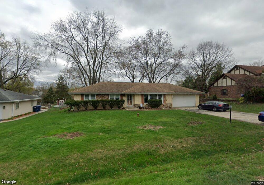
713 Chestnut Ln Darien, IL 60561
Estimated Value: $408,315 - $465,000
--
Bed
1
Bath
1,446
Sq Ft
$301/Sq Ft
Est. Value
About This Home
This home is located at 713 Chestnut Ln, Darien, IL 60561 and is currently estimated at $434,579, approximately $300 per square foot. 713 Chestnut Ln is a home located in DuPage County with nearby schools including Mark Delay School, Lace Elementary School, and Eisenhower Jr High School.
Ownership History
Date
Name
Owned For
Owner Type
Purchase Details
Closed on
Jul 30, 2012
Sold by
Klemz Ursula and Estate Of Ronald C Klemz
Bought by
Klemz Ursula
Current Estimated Value
Purchase Details
Closed on
Feb 24, 1999
Sold by
Old Kent Bank
Bought by
Klemz Ronald C
Home Financials for this Owner
Home Financials are based on the most recent Mortgage that was taken out on this home.
Original Mortgage
$144,000
Outstanding Balance
$34,940
Interest Rate
6.78%
Estimated Equity
$399,639
Create a Home Valuation Report for This Property
The Home Valuation Report is an in-depth analysis detailing your home's value as well as a comparison with similar homes in the area
Home Values in the Area
Average Home Value in this Area
Purchase History
| Date | Buyer | Sale Price | Title Company |
|---|---|---|---|
| Klemz Ursula | -- | None Available | |
| Klemz Ronald C | $180,000 | First American Title Ins |
Source: Public Records
Mortgage History
| Date | Status | Borrower | Loan Amount |
|---|---|---|---|
| Open | Klemz Ronald C | $144,000 |
Source: Public Records
Tax History Compared to Growth
Tax History
| Year | Tax Paid | Tax Assessment Tax Assessment Total Assessment is a certain percentage of the fair market value that is determined by local assessors to be the total taxable value of land and additions on the property. | Land | Improvement |
|---|---|---|---|---|
| 2024 | $7,703 | $127,555 | $70,685 | $56,870 |
| 2023 | $7,415 | $117,260 | $64,980 | $52,280 |
| 2022 | $6,928 | $109,490 | $60,670 | $48,820 |
| 2021 | $6,664 | $108,240 | $59,980 | $48,260 |
| 2020 | $6,573 | $106,090 | $58,790 | $47,300 |
| 2019 | $6,352 | $101,790 | $56,410 | $45,380 |
| 2018 | $5,770 | $93,710 | $56,080 | $37,630 |
| 2017 | $5,711 | $90,170 | $53,960 | $36,210 |
| 2016 | $6,160 | $94,700 | $51,500 | $43,200 |
| 2015 | $6,070 | $89,090 | $48,450 | $40,640 |
| 2014 | $6,129 | $88,700 | $47,110 | $41,590 |
| 2013 | $5,924 | $88,280 | $46,890 | $41,390 |
Source: Public Records
Map
Nearby Homes
- 6730 Charleston Dr
- 6542 Bentley Ave
- 1121 Lodgepole Ct
- 6540 Bentley Ave
- 6136 Bentley Ave
- 6538 Bentley Ave
- 1145 Lacebark Ct
- 6655 S Cass Ave Unit 5D
- 6648 Weather Hill Dr
- 279 Snug Harbor Dr
- 6340 Tennessee Ave
- 6503 Clarendon Hills Rd
- 1205 Charleston Ct Unit 1205
- 501 Lake Hinsdale Dr Unit 307
- 501 Lake Hinsdale Dr Unit 207
- 301 Lake Hinsdale Dr Unit 106
- 301 Lake Hinsdale Dr Unit 404
- 1125 Timber Ln Unit 2
- 6443 Clarendon Hills Rd Unit 206
- 601 Lake Hinsdale Dr Unit 307