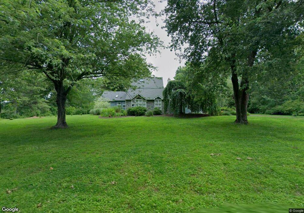
713 Cowpath Rd Telford, PA 18969
Estimated Value: $559,000 - $669,806
3
Beds
3
Baths
2,679
Sq Ft
$234/Sq Ft
Est. Value
About This Home
This home is located at 713 Cowpath Rd, Telford, PA 18969 and is currently estimated at $628,202, approximately $234 per square foot. 713 Cowpath Rd is a home located in Montgomery County with nearby schools including Franconia Elementary School, Indian Crest Middle School, and Souderton Area Senior High School.
Ownership History
Date
Name
Owned For
Owner Type
Purchase Details
Closed on
Sep 29, 2017
Sold by
Brelsford Patricia A
Bought by
Kaczor Allen R and Landis Kaczor Suzanne M
Current Estimated Value
Home Financials for this Owner
Home Financials are based on the most recent Mortgage that was taken out on this home.
Original Mortgage
$352,000
Outstanding Balance
$294,019
Interest Rate
3.82%
Mortgage Type
New Conventional
Estimated Equity
$334,183
Purchase Details
Closed on
Apr 28, 1981
Bought by
Brelsford Glenn E and Brelsford Patricia A
Create a Home Valuation Report for This Property
The Home Valuation Report is an in-depth analysis detailing your home's value as well as a comparison with similar homes in the area
Home Values in the Area
Average Home Value in this Area
Purchase History
| Date | Buyer | Sale Price | Title Company |
|---|---|---|---|
| Kaczor Allen R | $440,000 | -- | |
| Brelsford Glenn E | -- | -- |
Source: Public Records
Mortgage History
| Date | Status | Borrower | Loan Amount |
|---|---|---|---|
| Open | Kaczor Allen R | $352,000 |
Source: Public Records
Tax History Compared to Growth
Tax History
| Year | Tax Paid | Tax Assessment Tax Assessment Total Assessment is a certain percentage of the fair market value that is determined by local assessors to be the total taxable value of land and additions on the property. | Land | Improvement |
|---|---|---|---|---|
| 2025 | $8,811 | $219,390 | $49,390 | $170,000 |
| 2024 | $8,811 | $219,390 | $49,390 | $170,000 |
| 2023 | $8,409 | $219,390 | $49,390 | $170,000 |
| 2022 | $8,151 | $219,390 | $49,390 | $170,000 |
| 2021 | $7,980 | $219,390 | $49,390 | $170,000 |
| 2020 | $7,871 | $219,390 | $49,390 | $170,000 |
| 2019 | $7,185 | $219,390 | $49,390 | $170,000 |
| 2018 | $7,777 | $219,390 | $49,390 | $170,000 |
| 2017 | $7,581 | $219,390 | $49,390 | $170,000 |
| 2016 | $7,495 | $219,390 | $49,390 | $170,000 |
| 2015 | $7,293 | $219,390 | $49,390 | $170,000 |
| 2014 | $7,293 | $219,390 | $49,390 | $170,000 |
Source: Public Records
Map
Nearby Homes
- 109 Forrest Rd
- 820 Evergreen Cir
- 211 Grove Ct
- 799 Evergreen Cir
- 100 Anjou Ct
- 270 Telford Pike
- 3443 Devlin Way
- 2580 Wellington Way
- 317 Pleasant Valley Dr
- 2513 Wellington Way
- 157 Erie Ave
- 314 Harleysville Pike
- 654 Allentown Rd
- 20 Ryan Ct
- 5 Ryan Ct
- 478 Smokepipe Rd
- 226 N Main St
- 308 Erie Ave
- 155 Harleysville Pike
- 196 Penn Ave
- 729 Cowpath Rd
- 740 Cowpath Rd
- 159 Forrest Rd
- 701 Cowpath Rd
- 744 Cowpath Rd
- 733 Cowpath Rd
- 153 Forrest Rd
- 225 Morwood Rd
- 737 Cowpath Rd
- 149 Forrest Rd
- 145 Forrest Rd
- 227 Morwood Rd
- 223 Morwood Rd
- 141 Forrest Rd
- 205 Morwood Rd
- 655 Cowpath Rd
- 655 Cowpath Rd Unit WAREHOUSE
- 655 Cowpath Rd Unit BARN STORAGE ONLY
- 231 Morwood Rd
- 215 Morwood Rd