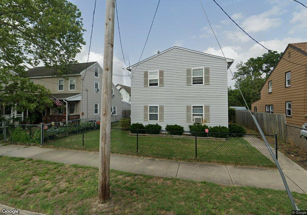
713 Dock St Unit 715 Millville, NJ 08332
Estimated Value: $149,545 - $238,000
--
Bed
--
Bath
1,536
Sq Ft
$118/Sq Ft
Est. Value
About This Home
This home is located at 713 Dock St Unit 715, Millville, NJ 08332 and is currently estimated at $180,636, approximately $117 per square foot. 713 Dock St Unit 715 is a home located in Cumberland County with nearby schools including R.D. Wood Elementary School, Lakeside Middle School, and Memorial High School.
Ownership History
Date
Name
Owned For
Owner Type
Purchase Details
Closed on
Oct 1, 2021
Sold by
Principe Michael W and Demarco Tonicarol
Bought by
Lld & Lsp Llc
Current Estimated Value
Home Financials for this Owner
Home Financials are based on the most recent Mortgage that was taken out on this home.
Original Mortgage
$112,500
Interest Rate
2.7%
Mortgage Type
Stand Alone Refi Refinance Of Original Loan
Purchase Details
Closed on
Aug 20, 2021
Sold by
Truxton Robert
Bought by
Principe Michael W and Demarco Tonicarol
Home Financials for this Owner
Home Financials are based on the most recent Mortgage that was taken out on this home.
Original Mortgage
$112,500
Interest Rate
2.7%
Mortgage Type
Stand Alone Refi Refinance Of Original Loan
Purchase Details
Closed on
May 1, 1992
Bought by
Truxton Robert
Create a Home Valuation Report for This Property
The Home Valuation Report is an in-depth analysis detailing your home's value as well as a comparison with similar homes in the area
Home Values in the Area
Average Home Value in this Area
Purchase History
| Date | Buyer | Sale Price | Title Company |
|---|---|---|---|
| Lld & Lsp Llc | -- | None Available | |
| Principe Michael W | $150,000 | Misc Company | |
| Truxton Robert | $7,000 | -- |
Source: Public Records
Mortgage History
| Date | Status | Borrower | Loan Amount |
|---|---|---|---|
| Previous Owner | Principe Michael W | $112,500 |
Source: Public Records
Tax History Compared to Growth
Tax History
| Year | Tax Paid | Tax Assessment Tax Assessment Total Assessment is a certain percentage of the fair market value that is determined by local assessors to be the total taxable value of land and additions on the property. | Land | Improvement |
|---|---|---|---|---|
| 2025 | $2,940 | $74,900 | $13,800 | $61,100 |
| 2024 | $2,940 | $74,900 | $13,800 | $61,100 |
| 2023 | $2,915 | $74,900 | $13,800 | $61,100 |
| 2022 | $2,839 | $74,900 | $13,800 | $61,100 |
| 2021 | $2,747 | $74,900 | $13,800 | $61,100 |
| 2020 | $2,702 | $74,900 | $13,800 | $61,100 |
| 2019 | $2,577 | $74,900 | $13,800 | $61,100 |
| 2018 | $2,523 | $74,900 | $13,800 | $61,100 |
| 2017 | $2,500 | $74,900 | $13,800 | $61,100 |
| 2016 | $2,469 | $74,900 | $13,800 | $61,100 |
| 2015 | $2,413 | $74,900 | $13,800 | $61,100 |
| 2014 | $2,418 | $74,900 | $13,800 | $61,100 |
Source: Public Records
Map
Nearby Homes
- 709 & 707 Buck St
- 414 W Powell St
- 525 Dock St Unit B
- 525 Dock St
- 525 Dock St Unit A
- 10 E Broad St
- 552 Columbia Ave
- 550 Columbia Ave
- 807 N 2nd St
- 705 N 2nd St
- 404 Sharp St N
- 402 Sharp St N
- 204 Sharp St
- 502 N High St
- 1103 Buck St
- 3 Morningside Dr
- 108 110 E Oak St
- 500 Columbia Ave
- 722 Wheaton Ave Unit 724
- 507 N 2nd St